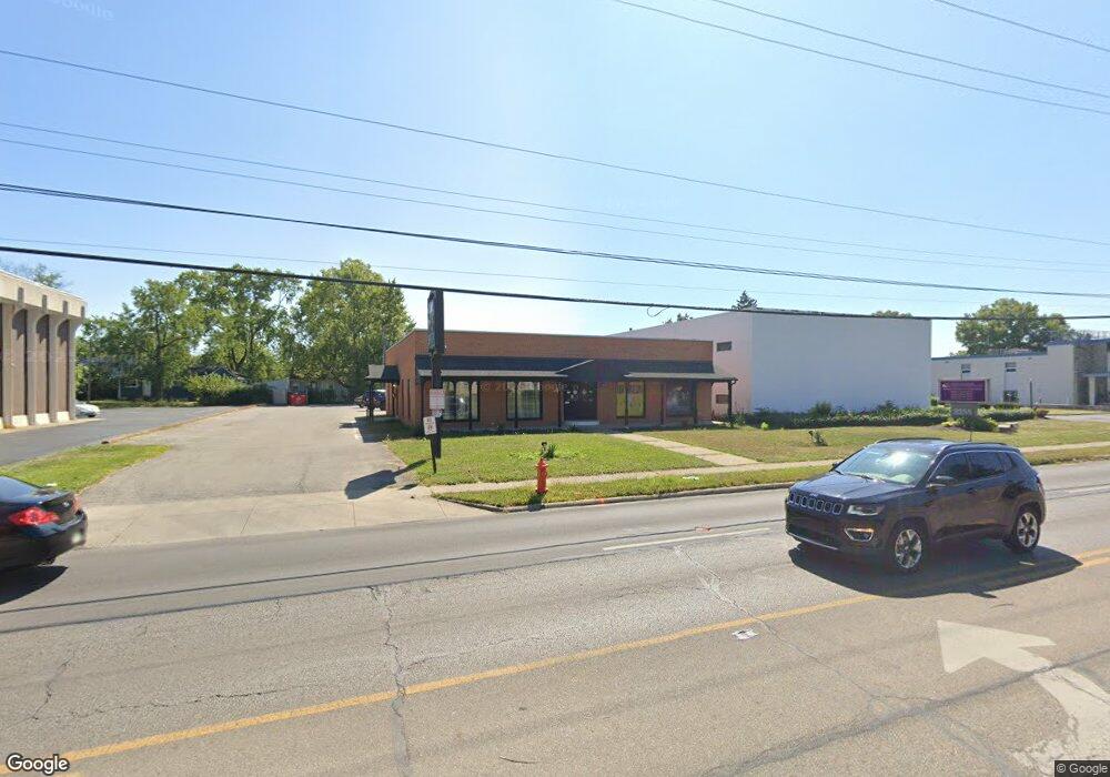
3311 E Livingston Ave Columbus, OH 43227
Linwood NeighborhoodEstimated Value: $549,727
--
Bed
--
Bath
5,292
Sq Ft
$104/Sq Ft
Est. Value
About This Home
This home is located at 3311 E Livingston Ave, Columbus, OH 43227 and is currently estimated at $549,727, approximately $103 per square foot. 3311 E Livingston Ave is a home located in Franklin County with nearby schools including Scottwood Elementary School, Johnson Park Middle School, and Walnut Ridge High School.
Ownership History
Date
Name
Owned For
Owner Type
Purchase Details
Closed on
Nov 13, 2020
Sold by
D & M Rentals Llc
Bought by
Ck Real Estate Holdings Llc
Current Estimated Value
Purchase Details
Closed on
Sep 30, 2005
Sold by
Sneward Elie and Sneward Marie
Bought by
D & M Rentals Llc
Purchase Details
Closed on
Jan 14, 1991
Bought by
Sneward Elie and Sneward Marie
Purchase Details
Closed on
Aug 13, 1987
Purchase Details
Closed on
Aug 1, 1983
Create a Home Valuation Report for This Property
The Home Valuation Report is an in-depth analysis detailing your home's value as well as a comparison with similar homes in the area
Home Values in the Area
Average Home Value in this Area
Purchase History
| Date | Buyer | Sale Price | Title Company |
|---|---|---|---|
| Ck Real Estate Holdings Llc | $340,000 | Clean Title Agency Inc | |
| D & M Rentals Llc | -- | -- | |
| Sneward Elie | $172,500 | -- | |
| -- | -- | -- | |
| -- | $130,000 | -- |
Source: Public Records
Tax History Compared to Growth
Tax History
| Year | Tax Paid | Tax Assessment Tax Assessment Total Assessment is a certain percentage of the fair market value that is determined by local assessors to be the total taxable value of land and additions on the property. | Land | Improvement |
|---|---|---|---|---|
| 2024 | $9,716 | $116,100 | $34,650 | $81,450 |
| 2023 | $8,572 | $116,095 | $34,650 | $81,445 |
| 2022 | $14,365 | $101,510 | $30,490 | $71,020 |
| 2021 | $5,365 | $71,230 | $30,490 | $40,740 |
| 2020 | $5,328 | $71,230 | $30,490 | $40,740 |
| 2019 | $5,333 | $64,750 | $27,720 | $37,030 |
| 2018 | $5,274 | $64,750 | $27,720 | $37,030 |
| 2017 | $5,327 | $64,750 | $27,720 | $37,030 |
| 2016 | $5,635 | $64,750 | $27,720 | $37,030 |
| 2015 | $5,232 | $64,750 | $27,720 | $37,030 |
| 2014 | $5,229 | $64,750 | $27,720 | $37,030 |
| 2013 | $2,591 | $64,750 | $27,720 | $37,030 |
Source: Public Records
Map
Nearby Homes
- 1271 S Weyant Ave
- 1304 Byron Ave
- 3325 Towers Ct S
- 3339 Towers Ct N
- 1054 S Hampton Rd
- 3084 Clermont Rd
- 1048 S James Rd
- 1077-1079 S James Rd
- 3566 Seabrook Ave
- 3563 Astor Ave
- 1624 Miltwood Rd
- 2963 Brownlee Ave
- 3598 Astor Ave
- 891 S Weyant Ave Unit 893
- 864 S Waverly St
- 892 Ruby Ave
- 3246 E Deshler Ave
- 1664 Barnett Rd
- 842 S Hampton Rd
- 836 S Weyant Ave
- 3255 E Livingston Ave
- 3319 E Livingston Ave
- 1270 Byron Ave
- 1267 S Weyant Ave
- 1274 Byron Ave
- 3245 E Livingston Ave Unit 200
- 1269 S Weyant Ave
- 1276 Byron Ave
- 3270 E Livingston Ave
- 3331 E Livingston Ave
- 0 E Livingston Ave
- 1280 Byron Ave
- 3258 E Livingston Ave
- 3300 E Livingston Ave
- 1284 Byron Ave
- 1275 S Weyant Ave
- 1278 S Weyant Ave
- 1279 Byron Ave
- 1192 S Weyant Ave
- 1199 Byron Ave