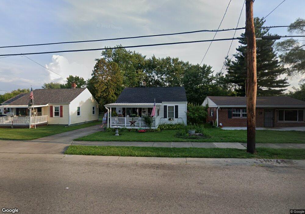
3312 Burbank Ave Middletown, OH 45044
Mayfield NeighborhoodEstimated Value: $126,000 - $145,000
2
Beds
1
Bath
920
Sq Ft
$149/Sq Ft
Est. Value
About This Home
This home is located at 3312 Burbank Ave, Middletown, OH 45044 and is currently estimated at $137,402, approximately $149 per square foot. 3312 Burbank Ave is a home located in Butler County with nearby schools including Mayfield Elementary School, Highview 6th Grade Center, and Middletown Middle School.
Ownership History
Date
Name
Owned For
Owner Type
Purchase Details
Closed on
Jan 27, 2015
Sold by
Mccann Thomas O Shea
Bought by
Harrell Sandra K
Current Estimated Value
Home Financials for this Owner
Home Financials are based on the most recent Mortgage that was taken out on this home.
Original Mortgage
$53,902
Outstanding Balance
$41,422
Interest Rate
3.85%
Mortgage Type
FHA
Estimated Equity
$95,980
Create a Home Valuation Report for This Property
The Home Valuation Report is an in-depth analysis detailing your home's value as well as a comparison with similar homes in the area
Home Values in the Area
Average Home Value in this Area
Purchase History
| Date | Buyer | Sale Price | Title Company |
|---|---|---|---|
| Harrell Sandra K | $54,900 | Chicago Title Co Llc |
Source: Public Records
Mortgage History
| Date | Status | Borrower | Loan Amount |
|---|---|---|---|
| Open | Harrell Sandra K | $53,902 |
Source: Public Records
Tax History Compared to Growth
Tax History
| Year | Tax Paid | Tax Assessment Tax Assessment Total Assessment is a certain percentage of the fair market value that is determined by local assessors to be the total taxable value of land and additions on the property. | Land | Improvement |
|---|---|---|---|---|
| 2024 | $965 | $28,160 | $4,020 | $24,140 |
| 2023 | $975 | $24,800 | $4,020 | $20,780 |
| 2022 | $674 | $20,340 | $4,020 | $16,320 |
| 2021 | $648 | $20,340 | $4,020 | $16,320 |
| 2020 | $955 | $20,340 | $4,020 | $16,320 |
| 2019 | $1,056 | $14,570 | $4,310 | $10,260 |
| 2018 | $647 | $14,570 | $4,310 | $10,260 |
| 2017 | $368 | $14,570 | $4,310 | $10,260 |
| 2016 | $544 | $12,740 | $4,310 | $8,430 |
| 2015 | $828 | $12,740 | $4,310 | $8,430 |
| 2014 | $1,595 | $12,740 | $4,310 | $8,430 |
| 2013 | $1,595 | $21,880 | $4,310 | $17,570 |
Source: Public Records
Map
Nearby Homes
- 1933 Sheffield St
- 1804 Fernwood St
- 1728 Fernwood St
- 2120 Fernwood St
- 1808 Waynebrook Dr
- 2128 Lamberton St
- 1605 Lamberton St
- 1901 Brentwood St
- 2010 Waynedale Ct
- 1811 Waynebrook Dr
- 2033 Jackson Ln
- 2212 Fernwood St
- 2225 Sheffield St
- 3002 Goldman Ave
- 3220 Barbara Dr
- 3610 Roosevelt Blvd
- 1308 Orchard St
- 1030 Jackson Ln
- 3227 Barbara Dr
- 1012 Jackson Ln
- 3310 Burbank Ave
- 3314 Burbank Ave
- 1909 Sheffield St
- 3316 Burbank Ave
- 1905 Sheffield St
- 1913 Sheffield St
- 3307 Burbank Ave
- 1901 Sheffield St
- 3320 Burbank Ave
- 3301 Burbank Ave
- 1917 Sheffield St
- 1825 Sheffield St
- 3324 Burbank Ave
- 1921 Sheffield St
- 1815 Sheffield St
- 1925 Sheffield St Unit 927
- 1813 Sheffield St
- 1900 Sheffield St
- 1902 Sheffield St
- 1908 Sheffield St