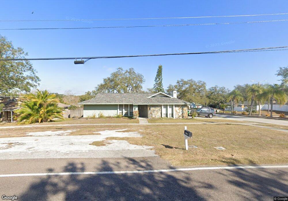
3312 Enterprise Rd E Safety Harbor, FL 34695
Estimated Value: $439,237 - $512,000
Studio
2
Baths
1,780
Sq Ft
$275/Sq Ft
Est. Value
About This Home
This home is located at 3312 Enterprise Rd E, Safety Harbor, FL 34695 and is currently estimated at $489,309, approximately $274 per square foot. 3312 Enterprise Rd E is a home located in Pinellas County with nearby schools including Leila Davis Elementary School, Countryside High School, and Safety Harbor Middle School.
Ownership History
Date
Name
Owned For
Owner Type
Purchase Details
Closed on
Jan 19, 2015
Sold by
Meagher Shannon L
Bought by
Meagher Shannon L and Pennington Sherrie
Current Estimated Value
Purchase Details
Closed on
Oct 31, 1997
Sold by
Pruss Gary A and Pruss Constance K
Bought by
Meagher Shannon L
Home Financials for this Owner
Home Financials are based on the most recent Mortgage that was taken out on this home.
Original Mortgage
$60,000
Outstanding Balance
$8,875
Interest Rate
7.39%
Mortgage Type
New Conventional
Estimated Equity
$480,434
Create a Home Valuation Report for This Property
The Home Valuation Report is an in-depth analysis detailing your home's value as well as a comparison with similar homes in the area
Home Values in the Area
Average Home Value in this Area
Purchase History
| Date | Buyer | Sale Price | Title Company |
|---|---|---|---|
| Meagher Shannon L | -- | Attorney | |
| Meagher Shannon L | $112,200 | -- |
Source: Public Records
Mortgage History
| Date | Status | Borrower | Loan Amount |
|---|---|---|---|
| Open | Meagher Shannon L | $60,000 |
Source: Public Records
Tax History
| Year | Tax Paid | Tax Assessment Tax Assessment Total Assessment is a certain percentage of the fair market value that is determined by local assessors to be the total taxable value of land and additions on the property. | Land | Improvement |
|---|---|---|---|---|
| 2025 | $2,160 | $173,267 | -- | -- |
| 2024 | $2,116 | $168,384 | -- | -- |
| 2023 | $2,116 | $163,480 | $0 | $0 |
| 2022 | $2,047 | $158,718 | $0 | $0 |
| 2021 | $2,065 | $154,095 | $0 | $0 |
| 2020 | $2,055 | $151,967 | $0 | $0 |
| 2019 | $2,013 | $148,550 | $0 | $0 |
| 2018 | $1,979 | $145,780 | $0 | $0 |
| 2017 | $1,958 | $142,782 | $0 | $0 |
| 2016 | $1,936 | $139,845 | $0 | $0 |
| 2015 | $1,977 | $138,873 | $0 | $0 |
| 2014 | $1,965 | $137,771 | $0 | $0 |
Source: Public Records
Map
Nearby Homes
- 3321 Meander Ln
- 1609 Hampton Ct
- 625 Fayette Dr S
- 2303 Oxford Ct
- 612 Fairmont Ave Unit D
- 1735 Tall Pine Cir
- 2363 Flanders Way Unit C
- 2368 Flanders Way Unit D
- 612 Baldwin Ave Unit C
- 2225 Windsong Ct
- 45 Turnstone Dr
- 603 Baldwin Ave Unit B
- 708 Quail Keep Dr Unit 1605
- 706 Quail Keep Dr Unit 1604
- 511 Longfellow Ct Unit D
- 1009 Wyndham Way
- 602 Quail Keep Dr
- 1006 Wyndham Way
- 2403 Country Trails Dr
- 1709 La Forest Ave
- 3310 Enterprise Rd E
- 135 Harbor Woods Cir
- 131 Harbor Woods Cir
- 3308 Enterprise Rd E
- 3314 Enterprise Rd E
- 127 Harbor Woods Cir
- 5 Harbor Woods Cir
- 3306 Enterprise Rd E
- 3316 Enterprise Rd E
- 137 Harbor Woods Cir
- 125 Harbor Woods Cir
- 133 Harbor Woods Cir
- 9 Harbor Woods Cir
- 3 Harbor Woods Cir
- 3325 Enterprise Rd E
- 129 Harbor Woods Cir
- 7 Harbor Woods Cir
- 3333 Enterprise Rd E
- 3318 Enterprise Rd E
- 3304 Enterprise Rd E
Your Personal Tour Guide
Ask me questions while you tour the home.