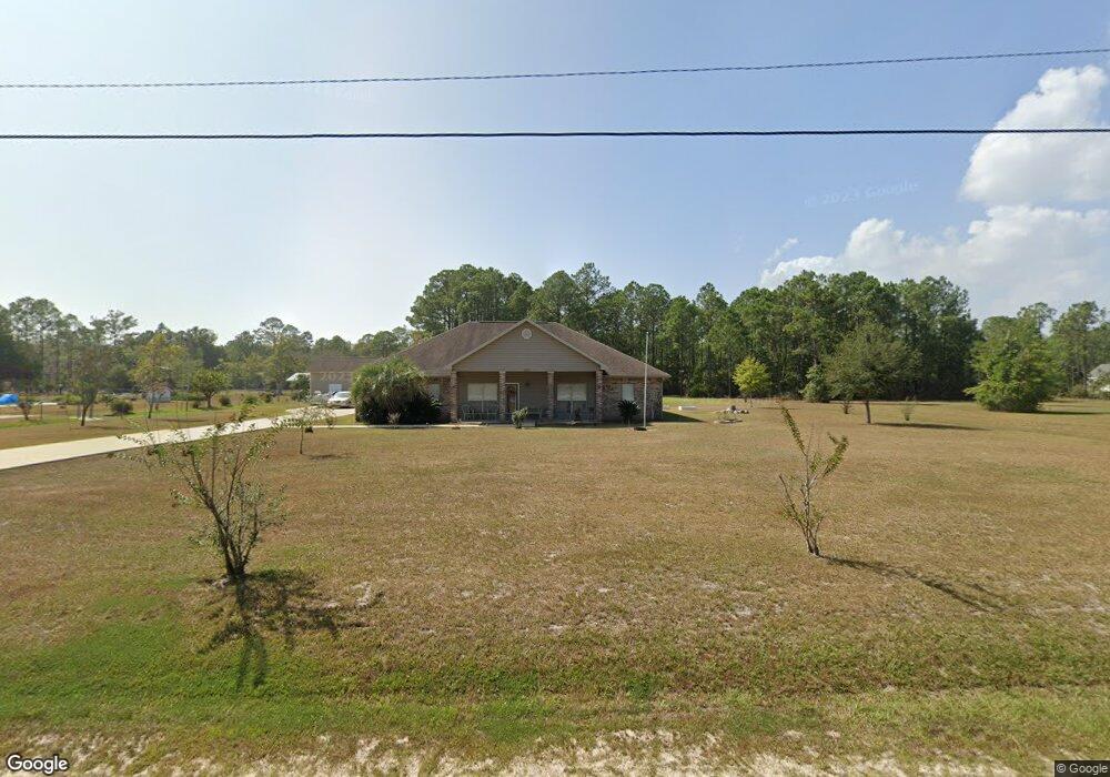
3313 Phil Davis Rd Ocean Springs, MS 39564
Estimated Value: $321,372 - $427,000
--
Bed
2
Baths
2,241
Sq Ft
$160/Sq Ft
Est. Value
About This Home
This home is located at 3313 Phil Davis Rd, Ocean Springs, MS 39564 and is currently estimated at $358,093, approximately $159 per square foot. 3313 Phil Davis Rd is a home located in Jackson County with nearby schools including Pecan Park Elementary School, Ocean Springs Middle School, and Ocean Springs High School.
Ownership History
Date
Name
Owned For
Owner Type
Purchase Details
Closed on
Jan 4, 2017
Bought by
Stys Megham
Current Estimated Value
Home Financials for this Owner
Home Financials are based on the most recent Mortgage that was taken out on this home.
Original Mortgage
$130,000
Outstanding Balance
$107,738
Interest Rate
4.32%
Estimated Equity
$250,355
Create a Home Valuation Report for This Property
The Home Valuation Report is an in-depth analysis detailing your home's value as well as a comparison with similar homes in the area
Home Values in the Area
Average Home Value in this Area
Purchase History
| Date | Buyer | Sale Price | Title Company |
|---|---|---|---|
| Stys Megham | -- | -- |
Source: Public Records
Mortgage History
| Date | Status | Borrower | Loan Amount |
|---|---|---|---|
| Open | Stys Megham | $130,000 | |
| Closed | Stys Megham | -- |
Source: Public Records
Tax History Compared to Growth
Tax History
| Year | Tax Paid | Tax Assessment Tax Assessment Total Assessment is a certain percentage of the fair market value that is determined by local assessors to be the total taxable value of land and additions on the property. | Land | Improvement |
|---|---|---|---|---|
| 2024 | $2,180 | $19,238 | $5,943 | $13,295 |
| 2023 | $2,180 | $19,238 | $5,943 | $13,295 |
| 2022 | $2,177 | $19,238 | $5,943 | $13,295 |
| 2021 | $2,185 | $19,303 | $5,943 | $13,360 |
| 2020 | $1,812 | $16,220 | $3,867 | $12,353 |
| 2019 | $1,769 | $16,220 | $3,867 | $12,353 |
| 2018 | $1,775 | $16,220 | $3,867 | $12,353 |
| 2017 | $1,775 | $16,220 | $3,867 | $12,353 |
| 2016 | $1,775 | $16,220 | $3,867 | $12,353 |
| 2015 | $1,687 | $152,140 | $38,670 | $113,470 |
| 2014 | $1,736 | $15,596 | $3,867 | $11,729 |
| 2013 | $1,686 | $15,596 | $3,867 | $11,729 |
Source: Public Records
Map
Nearby Homes
- 0 Phil Davis Rd
- 3698 Olivia Dr
- 3678 Olivia Dr
- 3655 Olivia Dr
- 3707 Olivia Dr
- 3711 Olivia Dr
- Dune Plan at The Enclave at Palmetto Pointe
- Opal Plan at The Enclave at Palmetto Pointe
- Sandpiper Plan at The Enclave at Palmetto Pointe
- Coral Plan at The Enclave at Palmetto Pointe
- Kai Plan at The Enclave at Palmetto Pointe
- 3651 Olivia Dr
- 6585 Maurepas Cir
- 6305 Annie Cove
- 6309 Annie Cove
- 6301 Annie Cove
- 6300 Annie Cove
- 3670 Olivia Dr
- 3217 Rachel Ln
- 6355 Jennifer Cove
- 3309 Phil Davis Rd
- 3,5 ACRE 3 5 Acre Phil Davis
- 3505 Phil Davis Rd
- 3213 Phil Davis Rd
- 3201 Phil Davis Rd
- 3604 Phil Davis Rd
- 6593 Maurepas Cir
- 0 Old Shell Landing Dr Unit 3301872
- 3700 Old Shell Landing Rd
- 00 Phil Davis Rd
- 6000 Lindsey Ln
- 3521 Old Shell Landing Rd
- 3517 Old Shell Landing Rd
- 6773 Rue Maurepas
- 0 Julie Ln
- 6600 Maurepas Cir
- 6001 Julie Ln
- 5908 Linsey Ln
- 3701 Phil Davis Rd
- 6769 Maurepas Cir