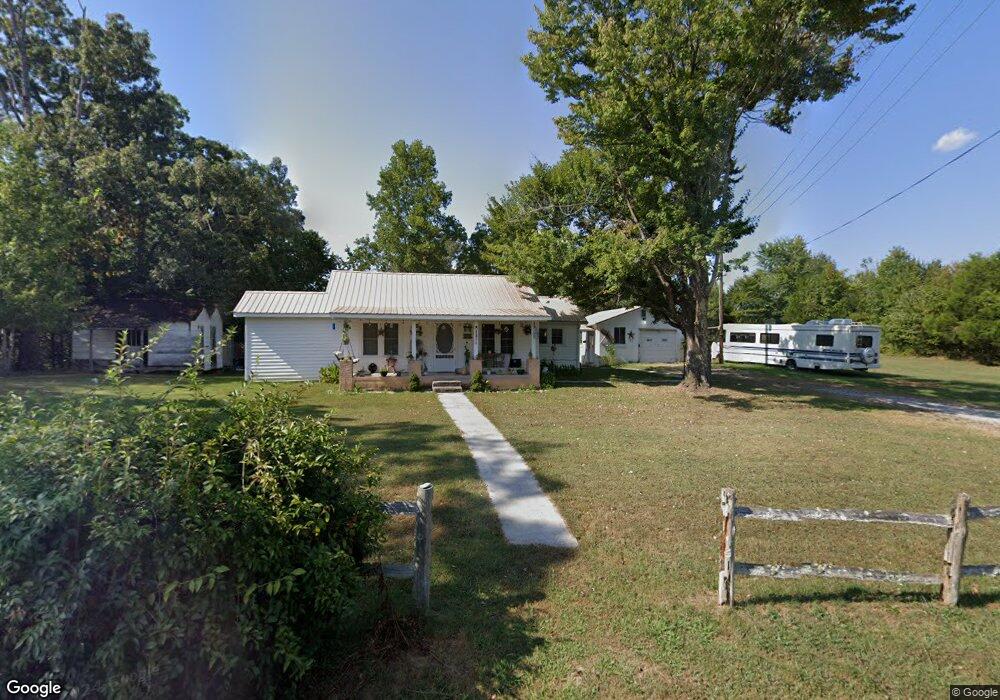
3317 Pollard Rd Walling, TN 38587
Estimated Value: $113,874 - $266,000
3
Beds
2
Baths
1,362
Sq Ft
$155/Sq Ft
Est. Value
About This Home
This home is located at 3317 Pollard Rd, Walling, TN 38587 and is currently estimated at $210,719, approximately $154 per square foot. 3317 Pollard Rd is a home located in White County with nearby schools including Central View Elementary School, White County Middle School, and White County High School.
Ownership History
Date
Name
Owned For
Owner Type
Purchase Details
Closed on
Mar 5, 2007
Sold by
Frasier Larry H
Bought by
Amos Higginbotham
Current Estimated Value
Purchase Details
Closed on
Feb 27, 2006
Sold by
Lee Ranldolph Ronnie
Bought by
Frasier Larry H
Purchase Details
Closed on
Feb 24, 1994
Bought by
Randolph Ronnie L and Randolph Glenda
Purchase Details
Closed on
Aug 14, 1992
Bought by
Womack Edward C and Womack Shannon K
Purchase Details
Closed on
Aug 7, 1992
Bought by
Noonan Sharon
Create a Home Valuation Report for This Property
The Home Valuation Report is an in-depth analysis detailing your home's value as well as a comparison with similar homes in the area
Purchase History
| Date | Buyer | Sale Price | Title Company |
|---|---|---|---|
| Amos Higginbotham | $10,000 | -- | |
| Frasier Larry H | $42,000 | -- | |
| Randolph Ronnie L | $35,000 | -- | |
| Womack Edward C | $28,000 | -- | |
| Noonan Sharon | -- | -- |
Source: Public Records
Tax History
| Year | Tax Paid | Tax Assessment Tax Assessment Total Assessment is a certain percentage of the fair market value that is determined by local assessors to be the total taxable value of land and additions on the property. | Land | Improvement |
|---|---|---|---|---|
| 2025 | $407 | $28,900 | $3,375 | $25,525 |
| 2024 | $352 | $17,150 | $2,450 | $14,700 |
| 2023 | $352 | $17,150 | $2,450 | $14,700 |
| 2022 | $352 | $17,150 | $2,450 | $14,700 |
| 2021 | $352 | $17,150 | $2,450 | $14,700 |
| 2020 | $352 | $17,150 | $2,450 | $14,700 |
| 2019 | $321 | $15,675 | $2,450 | $13,225 |
| 2018 | $321 | $15,675 | $2,450 | $13,225 |
| 2017 | $321 | $15,675 | $2,450 | $13,225 |
| 2016 | $321 | $15,675 | $2,450 | $13,225 |
| 2015 | $290 | $15,675 | $2,450 | $13,225 |
| 2014 | -- | $15,675 | $2,450 | $13,225 |
| 2013 | -- | $16,125 | $2,350 | $13,775 |
Source: Public Records
Map
Nearby Homes
- 00 Pollard Cemetery Rd
- 0 Pollard Cemetery Rd
- 2530 Pollard Rd
- 2.28 Acres Pates Ford Rd
- 2.28 Ac Pates Ford Rd
- 00 Pates Ford Rd
- 689 Pates Ford Rd
- 0 Pates Ford Rd
- 265 N Center Point Acres
- 0 Center Point Acres N Unit 1322803
- 0 Center Point Acres N Unit 240744
- 0 Center Point Acres N Unit RTC3050083
- 3297 Three Island Rd
- 1295 Darkey Springs Rd
- 13593 Old Kentucky Rd
- 13723 Old Kentucky Rd
- 13400 Old Kentucky Rd
- 842 Dave England Rd
- 14193 Old Kentucky Rd
- 14305 Old Kentucky Rd
- 3298 Pollard Rd
- 3233 Pollard Rd
- 160 Tom McBride Rd Unit 152
- 206 Tom McBride Rd
- 122 Tom McBride Rd
- 3471 Pollard Rd
- 3505 Pollard Rd
- 3132 Pollard Rd
- 174 Tom McBride Rd
- 3520 Pollard Rd
- 500 Humphrey Rd
- 3080 Pollard Rd
- 358 Humphrey Rd
- 358 Humphrey Rd
- 320 Humphrey Rd
- 176 Humphrey
- 248 Humphrey Rd
- 00 Humphrey Rd
- 176 Humphrey Rd
- 3665 Pollard Rd
Your Personal Tour Guide
Ask me questions while you tour the home.