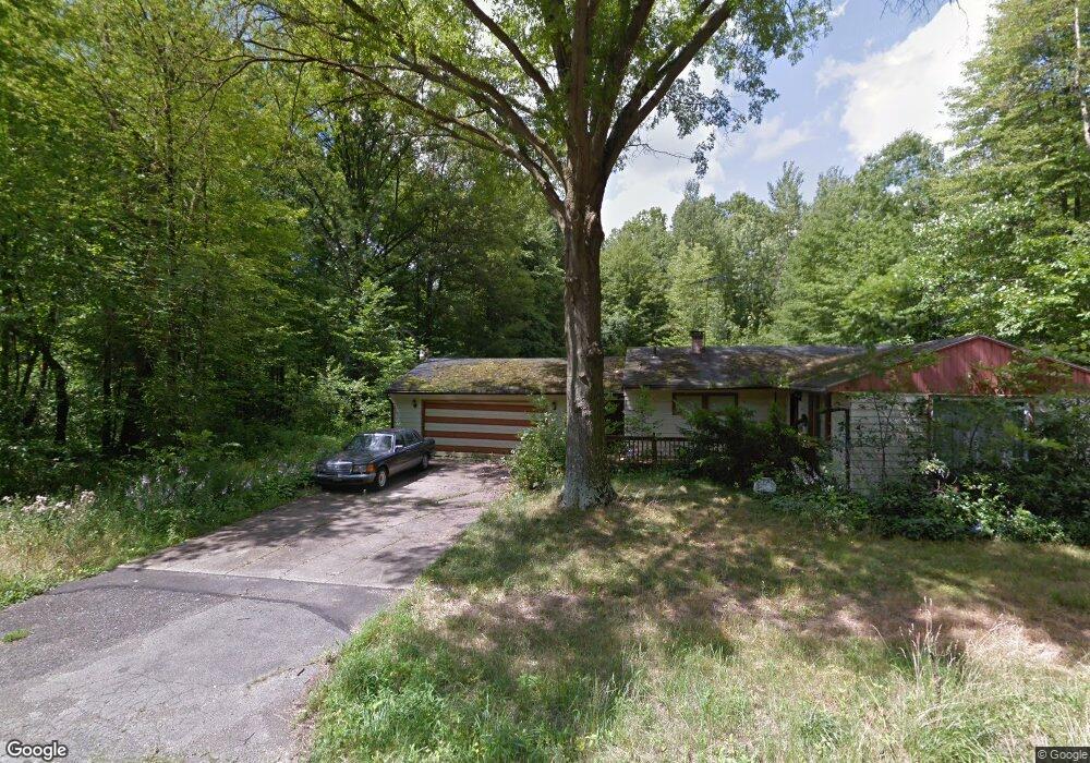
3318 Nelson Ave Youngstown, OH 44505
McGuffey Heights NeighborhoodEstimated Value: $65,563 - $92,000
2
Beds
1
Bath
1,305
Sq Ft
$63/Sq Ft
Est. Value
About This Home
This home is located at 3318 Nelson Ave, Youngstown, OH 44505 and is currently estimated at $82,641, approximately $63 per square foot. 3318 Nelson Ave is a home located in Mahoning County with nearby schools including M.L. King Elementary School, Williamson Elementary School, and East High School.
Ownership History
Date
Name
Owned For
Owner Type
Purchase Details
Closed on
May 2, 2019
Sold by
Britt Rashon
Bought by
Britt Oge
Current Estimated Value
Purchase Details
Closed on
Sep 7, 2011
Sold by
Secure Advanced Funding Enterprise 2010-
Bought by
Britt Rashon
Purchase Details
Closed on
Jul 29, 2011
Sold by
Bittle Robert L and Bittle Ruth E
Bought by
Secure Advanced Funding Enterprise 2010-
Purchase Details
Closed on
Sep 9, 1976
Bought by
Bittle Robert L and Bittle Ruth E
Create a Home Valuation Report for This Property
The Home Valuation Report is an in-depth analysis detailing your home's value as well as a comparison with similar homes in the area
Home Values in the Area
Average Home Value in this Area
Purchase History
| Date | Buyer | Sale Price | Title Company |
|---|---|---|---|
| Britt Oge | -- | None Available | |
| Britt Rashon | $1,400 | None Available | |
| Secure Advanced Funding Enterprise 2010- | -- | Attorney | |
| Bittle Robert L | -- | -- |
Source: Public Records
Tax History Compared to Growth
Tax History
| Year | Tax Paid | Tax Assessment Tax Assessment Total Assessment is a certain percentage of the fair market value that is determined by local assessors to be the total taxable value of land and additions on the property. | Land | Improvement |
|---|---|---|---|---|
| 2024 | $108 | $2,160 | $230 | $1,930 |
| 2023 | $108 | $2,160 | $230 | $1,930 |
| 2022 | $170 | $2,650 | $200 | $2,450 |
| 2021 | $170 | $2,650 | $200 | $2,450 |
| 2020 | $171 | $2,650 | $200 | $2,450 |
| 2019 | $178 | $2,440 | $180 | $2,260 |
| 2018 | $188 | $2,440 | $180 | $2,260 |
| 2017 | $270 | $2,440 | $180 | $2,260 |
| 2016 | $364 | $5,460 | $180 | $5,280 |
| 2015 | $374 | $5,460 | $180 | $5,280 |
| 2014 | $354 | $5,460 | $180 | $5,280 |
| 2013 | $349 | $5,460 | $180 | $5,280 |
Source: Public Records
Map
Nearby Homes
- 2051 Blair Ave
- 2831 Benford Ln
- 2951 Megan Cir
- 2954 Megan Cir
- 1720 Jacobs Rd
- V/L Jacobs Rd
- 1214 Brighton St
- 665 Wendemere Dr
- 663 Meadowland Dr
- 531 Meadowland Dr
- 1003 Liberty Rd
- 366 Westview Ave
- 279 Parish Ave
- 269 Westview Ave
- 229 Jacobs Rd
- 254 Christian Ave
- 3317 Beechwood Dr
- 1325 Miami Ave
- 5843 Fairlawn Ave
- 902 Miami St
- 3310 Orrin Ave
- 3242 Nelson Ave
- 3355 Nelson Ave
- 3344 Orrin Ave
- 3249 Nelson Ave
- 3260 Orrin Ave
- 3346 Orrin Ave
- 3350 Orrin Ave
- 3301 Orrin Ave
- 3246 Orrin Ave
- 3345 Orrin Ave
- 3249 Seifert Ave
- 3244 Orrin Ave
- 3352 Orrin Ave
- 3347 Orrin Ave
- 3354 Orrin Ave
- 3230 Nelson Ave
- 3234 Orrin Ave
- 3349 Orrin Ave
- 3227 Nelson Ave