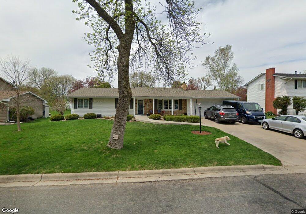
3318 Selkirk Dr Burnsville, MN 55337
Estimated Value: $401,000 - $459,000
4
Beds
4
Baths
2,700
Sq Ft
$159/Sq Ft
Est. Value
About This Home
This home is located at 3318 Selkirk Dr, Burnsville, MN 55337 and is currently estimated at $428,224, approximately $158 per square foot. 3318 Selkirk Dr is a home located in Dakota County with nearby schools including William Byrne Elementary School, Burnsville High School, and Gateway STEM Academy.
Ownership History
Date
Name
Owned For
Owner Type
Purchase Details
Closed on
Jul 1, 2015
Sold by
Martin Phyllis Ann
Bought by
Macphail William E and Macphail Melissa J
Current Estimated Value
Home Financials for this Owner
Home Financials are based on the most recent Mortgage that was taken out on this home.
Original Mortgage
$259,350
Outstanding Balance
$202,014
Interest Rate
3.83%
Mortgage Type
New Conventional
Estimated Equity
$226,210
Create a Home Valuation Report for This Property
The Home Valuation Report is an in-depth analysis detailing your home's value as well as a comparison with similar homes in the area
Home Values in the Area
Average Home Value in this Area
Purchase History
| Date | Buyer | Sale Price | Title Company |
|---|---|---|---|
| Macphail William E | $273,000 | Home Title Inc |
Source: Public Records
Mortgage History
| Date | Status | Borrower | Loan Amount |
|---|---|---|---|
| Open | Macphail William E | $259,350 |
Source: Public Records
Tax History Compared to Growth
Tax History
| Year | Tax Paid | Tax Assessment Tax Assessment Total Assessment is a certain percentage of the fair market value that is determined by local assessors to be the total taxable value of land and additions on the property. | Land | Improvement |
|---|---|---|---|---|
| 2024 | $4,564 | $431,000 | $83,900 | $347,100 |
| 2023 | $4,564 | $433,700 | $83,900 | $349,800 |
| 2022 | $3,856 | $426,600 | $83,700 | $342,900 |
| 2021 | $3,848 | $361,800 | $72,800 | $289,000 |
| 2020 | $3,856 | $343,500 | $69,300 | $274,200 |
| 2019 | $3,677 | $332,500 | $66,000 | $266,500 |
| 2018 | $3,676 | $303,700 | $62,900 | $240,800 |
| 2017 | $3,358 | $295,200 | $59,900 | $235,300 |
| 2016 | $3,514 | $267,600 | $57,100 | $210,500 |
| 2015 | $3,248 | $255,316 | $52,699 | $202,617 |
| 2014 | -- | $246,269 | $51,507 | $194,762 |
| 2013 | -- | $216,512 | $46,316 | $170,196 |
Source: Public Records
Map
Nearby Homes
- 3017 Mcleod St
- 4463 Cinnamon Ridge Cir
- 4427 Cinnamon Ridge Cir
- 4425 Cinnamon Ridge Cir
- 3309 Red Oak Cir N
- 11902 River Hills Cir
- 4632 Westwood Ln
- 11459 Galtier Dr
- 4413 Slater Rd
- 11921 Baypoint Dr
- 11900 Highland View Cir
- 4774 Slater Rd
- 319 River Woods Ln
- 2123 Cliffhill Ln
- 2200 Horizon Rd
- 4370 Nicols Rd
- 10934 Southview Dr
- 11036 27th Ave S
- 221 River Woods Ln
- 2115 Cliffview Dr
- 3324 Selkirk Dr
- 3312 Selkirk Dr
- 3400 Selkirk Dr
- 11701 Galtier Dr
- 11705 Galtier Dr
- 3317 Selkirk Dr
- 11629 Galtier Dr
- 3315 Selkirk Dr
- 11700 Cartier Ave S
- 11709 Galtier Dr
- 11625 Galtier Dr
- 3402 Selkirk Dr
- 3300 Selkirk Dr
- 3313 Selkirk Dr
- 11702 Cartier Ave S
- 11713 Galtier Dr
- 11621 Galtier Dr
- 3311 Selkirk Dr
- 3206 Selkirk Dr
- 11701 Cartier Ave S