33187 S Kropf Rd Molalla, OR 97038
Estimated Value: $743,000 - $986,365
3
Beds
2
Baths
2,672
Sq Ft
$333/Sq Ft
Est. Value
About This Home
This home is located at 33187 S Kropf Rd, Molalla, OR 97038 and is currently estimated at $889,122, approximately $332 per square foot. 33187 S Kropf Rd is a home located in Clackamas County.
Ownership History
Date
Name
Owned For
Owner Type
Purchase Details
Closed on
Dec 2, 2014
Sold by
Wrolstad Mary
Bought by
Wrolstad Thomas D and Thomas D Wrolstad Trust
Current Estimated Value
Home Financials for this Owner
Home Financials are based on the most recent Mortgage that was taken out on this home.
Original Mortgage
$227,000
Interest Rate
3.89%
Mortgage Type
New Conventional
Purchase Details
Closed on
Sep 4, 1996
Sold by
Wrolstad Thomas Dean
Bought by
Wrolstad Ronald Earl and Wrolstad Christopher S
Create a Home Valuation Report for This Property
The Home Valuation Report is an in-depth analysis detailing your home's value as well as a comparison with similar homes in the area
Home Values in the Area
Average Home Value in this Area
Purchase History
| Date | Buyer | Sale Price | Title Company |
|---|---|---|---|
| Wrolstad Thomas D | -- | First American | |
| Wrolstad Ronald Earl | $93,000 | -- |
Source: Public Records
Mortgage History
| Date | Status | Borrower | Loan Amount |
|---|---|---|---|
| Closed | Wrolstad Thomas D | $227,000 |
Source: Public Records
Tax History Compared to Growth
Tax History
| Year | Tax Paid | Tax Assessment Tax Assessment Total Assessment is a certain percentage of the fair market value that is determined by local assessors to be the total taxable value of land and additions on the property. | Land | Improvement |
|---|---|---|---|---|
| 2025 | $3,807 | $298,606 | -- | -- |
| 2024 | $3,703 | $289,925 | -- | -- |
| 2023 | $3,703 | $281,498 | $0 | $0 |
| 2022 | $2,933 | $273,317 | $0 | $0 |
| 2021 | $2,795 | $265,363 | $0 | $0 |
| 2020 | $2,718 | $257,644 | $0 | $0 |
| 2019 | $2,638 | $250,152 | $0 | $0 |
| 2018 | $2,564 | $242,867 | $0 | $0 |
| 2017 | $2,490 | $235,796 | $0 | $0 |
| 2016 | $2,328 | $228,952 | $0 | $0 |
| 2015 | $2,261 | $222,282 | $0 | $0 |
| 2014 | $2,187 | $215,824 | $0 | $0 |
Source: Public Records
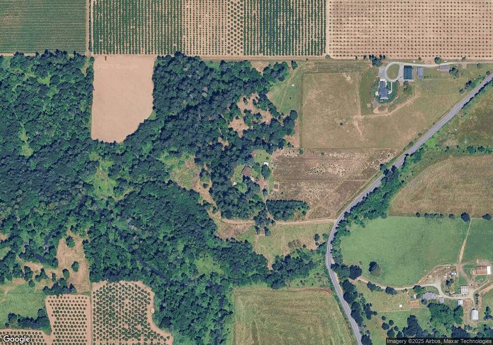
Map
Nearby Homes
- 30700 S Highway 170
- 10285 S Rosewood Way
- 30413 S Stuwe Rd
- 36175 S Highway 213
- 35267 S Acer Ln
- 30593 S Elisha Rd
- 15145 Woodburn Monitor Rd NE
- 6150 S Miller Rd
- 29474 S Highway 170
- 31514 S Bear Meadow Ct
- 14604 Woodburn Monitor Rd NE
- 9924 S Wildcat Rd
- 37658 S Highway 213
- 37486 S Highway 213 (Adj To)
- 37486 S Hwy 213 (Adj To)
- 31430 Oregon 213
- 1522 W Main St
- 1406 W Main St
- 33953 Oregon 213
- 29497 S Meridian Rd
- 33222 S Kropf Rd
- 33003 S Kropf Rd
- 32991 S Kropf Rd
- 32991 S Kropf Rd
- 33002 S Kropf Rd
- 32921 S Kropf Rd
- 32893 S Kropf Rd Unit RD
- 32914 S Kropf Rd
- 32773 S Kropf Rd
- 32769 S Kropf Rd
- 33186 S Needy Rd
- 32822 S Kropf Rd
- 33026 S Needy Rd
- 32982 S Needy Rd
- 33244 S Needy Rd
- 33312 S Needy Rd
- 8400 S Schneider Rd
- 8600 S Schneider Rd
- 32612 S Kropf Rd
- 8515 S Schneider Rd