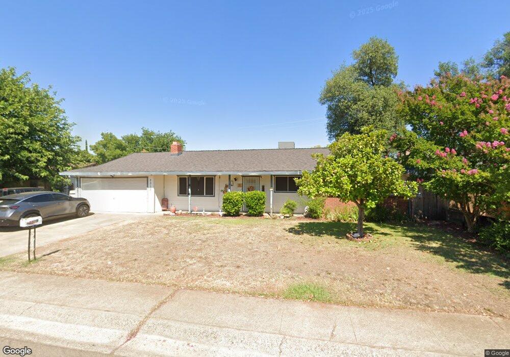
3319 Adams Ln Redding, CA 96002
Enterprise NeighborhoodEstimated Value: $292,002 - $320,000
About This Home
This home is located at 3319 Adams Ln, Redding, CA 96002 and is currently estimated at $310,751, approximately $236 per square foot. 3319 Adams Ln is a home located in Shasta County with nearby schools including Rother Elementary School, Parsons Junior High School, and Enterprise High School.
Ownership History
We collect this data history from publicly available records. To have your information removed, we recommend requesting removal directly through your county’s website.
Purchase Details
Purchase Details
Home Financials for this Owner
Home Financials are based on the most recent Mortgage that was taken out on this home.Home Values in the Area
Average Home Value in this Area
Purchase History
We collect this data history from publicly available records. To have your information removed, we recommend requesting removal directly through your county’s website.
| Date | Buyer | Sale Price | Title Company |
|---|---|---|---|
| -- | None Available | ||
| $82,000 | First American Title Co |
Mortgage History
We collect this data history from publicly available records. To have your information removed, we recommend requesting removal directly through your county’s website.
| Date | Status | Borrower | Loan Amount |
|---|---|---|---|
| Open | $148,555 | ||
| Closed | $137,200 | ||
| Closed | $20,000 | ||
| Closed | $154,000 | ||
| Closed | $109,180 | ||
| Closed | $83,640 |
Tax History
We collect this data history from publicly available records. To have your information removed, we recommend requesting removal directly through your county’s website.
| Year | Tax Paid | Tax Assessment Tax Assessment Total Assessment is a certain percentage of the fair market value that is determined by local assessors to be the total taxable value of land and additions on the property. | Land | Improvement |
|---|---|---|---|---|
| 2025 | $1,290 | $123,537 | $30,125 | $93,412 |
| 2024 | $1,270 | $121,116 | $29,535 | $91,581 |
| 2023 | $1,270 | $118,742 | $28,956 | $89,786 |
| 2022 | $1,232 | $116,415 | $28,389 | $88,026 |
| 2021 | $1,189 | $114,133 | $27,833 | $86,300 |
| 2020 | $1,183 | $112,964 | $27,548 | $85,416 |
| 2019 | $1,171 | $110,750 | $27,008 | $83,742 |
| 2018 | $1,156 | $108,579 | $26,479 | $82,100 |
| 2017 | $1,174 | $106,451 | $25,960 | $80,491 |
| 2016 | $1,098 | $104,364 | $25,451 | $78,913 |
| 2015 | $1,088 | $102,797 | $25,069 | $77,728 |
| 2014 | $1,078 | $100,784 | $24,578 | $76,206 |
Map
- 3260 Alexander Dr
- 1075 Le Brun Ln
- 1108 4th St
- 3140 C St
- 1152 Echo Rd
- 1103 2nd St
- 1134 Ruthie Ln
- 3178 Lawrence Rd
- 3594 Echo Rd
- 0 Churn Creek Rd Unit 25-496
- 0 Churn Creek Rd Unit 26-609
- 541 Hartnell Ave
- 596 Estate St
- 3790 Indio Way
- 3360 Lawrence Rd
- 2803 Larkspur Ln
- 1397 Empress Ln
- 2873 Arcade Way Unit 202
- 3918 Cambria Dr
- 1439 Harpole Rd
- 3334 School St
- 900 Shirley Ln
- 3347 Adams
- 3320 School St
- 3333 Adams Ln
- 3333 Adams Ln
- 3306 School St
- 871 Shirley Ln
- 3305 Adams Ln
- 3328 Churn Creek Rd
- 3330 Churn Creek Rd Unit C-3
- 3330 Churn Ct
- 3330 Churn Creek Rd
- 3290 School St
- 9 Adams Ln
- 11 Adams Ln
- 7 Adams Ln
- 3346 Adams Ln
- 3289 Adams Ln
- 3415 Adams Ln
Ask me questions while you tour the home.