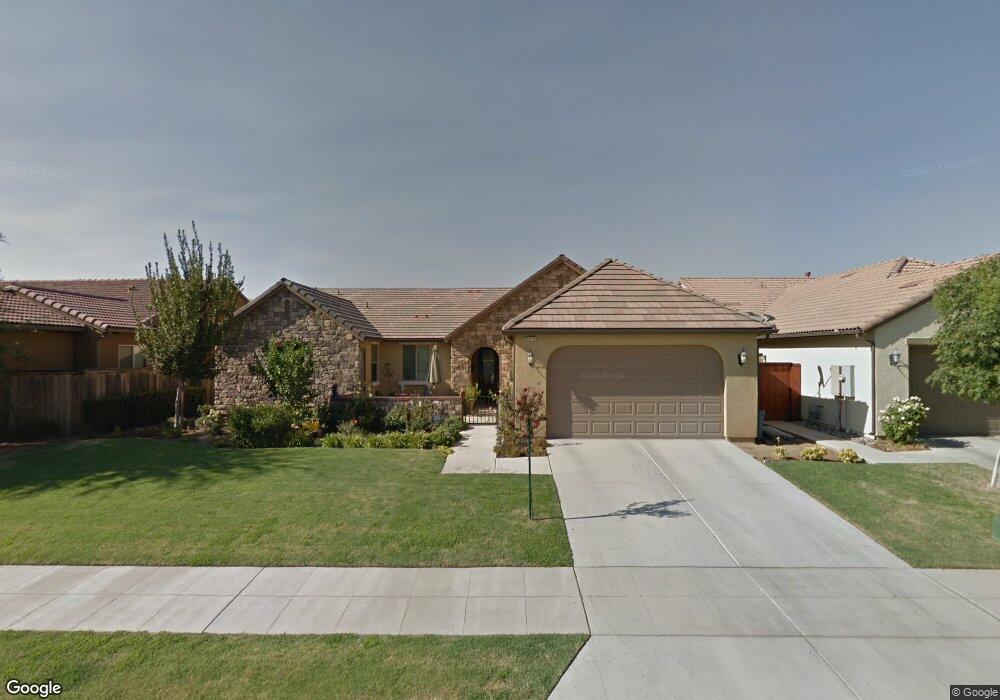
3319 Beverly Ave Clovis, CA 93619
Estimated Value: $560,452 - $600,000
3
Beds
3
Baths
2,167
Sq Ft
$270/Sq Ft
Est. Value
About This Home
This home is located at 3319 Beverly Ave, Clovis, CA 93619 and is currently estimated at $584,151, approximately $269 per square foot. 3319 Beverly Ave is a home located in Fresno County with nearby schools including Red Bank Elementary School, Clark Intermediate School, and Clovis High School.
Ownership History
Date
Name
Owned For
Owner Type
Purchase Details
Closed on
Oct 1, 2024
Sold by
Pucci Susan Eileen and Thompson Susan E
Bought by
2024 Larry And Susan Thompson Revocable Trust and Thompson
Current Estimated Value
Purchase Details
Closed on
Nov 29, 2010
Sold by
Barstow/De Wolf #2 Inc
Bought by
Pucci Susan Eileen
Home Financials for this Owner
Home Financials are based on the most recent Mortgage that was taken out on this home.
Original Mortgage
$277,255
Interest Rate
4.25%
Mortgage Type
FHA
Create a Home Valuation Report for This Property
The Home Valuation Report is an in-depth analysis detailing your home's value as well as a comparison with similar homes in the area
Home Values in the Area
Average Home Value in this Area
Purchase History
| Date | Buyer | Sale Price | Title Company |
|---|---|---|---|
| 2024 Larry And Susan Thompson Revocable Trust | -- | None Listed On Document | |
| Pucci Susan Eileen | $281,000 | First American Title Company |
Source: Public Records
Mortgage History
| Date | Status | Borrower | Loan Amount |
|---|---|---|---|
| Previous Owner | Pucci Susan Eileen | $277,255 |
Source: Public Records
Tax History
| Year | Tax Paid | Tax Assessment Tax Assessment Total Assessment is a certain percentage of the fair market value that is determined by local assessors to be the total taxable value of land and additions on the property. | Land | Improvement |
|---|---|---|---|---|
| 2025 | $5,154 | $380,879 | $128,110 | $252,769 |
| 2023 | $4,960 | $366,091 | $123,137 | $242,954 |
| 2022 | $4,893 | $358,914 | $120,723 | $238,191 |
| 2021 | $4,767 | $351,877 | $118,356 | $233,521 |
| 2020 | $4,745 | $348,270 | $117,143 | $231,127 |
| 2019 | $4,653 | $341,443 | $114,847 | $226,596 |
| 2018 | $4,542 | $334,749 | $112,596 | $222,153 |
| 2017 | $4,467 | $328,187 | $110,389 | $217,798 |
| 2016 | $4,329 | $321,753 | $108,225 | $213,528 |
| 2015 | $4,263 | $316,921 | $106,600 | $210,321 |
| 2014 | $4,190 | $310,714 | $104,512 | $206,202 |
Source: Public Records
Map
Nearby Homes
- 3154 Mitchell Ave
- 3479 Brimhall Ln
- 1178 Blackwood Ave
- 3267 Portals Ave
- 4440 Bellaire Ave
- 4441 Bellaire Ave
- 3299 Poe Ave
- 3549 Taylor Ln
- 3467 Shaw Ave
- 3497 Lincoln Ave
- 3045 Keats Ave
- 3537 Lincoln Ave
- 1009 El Molino Ave
- 2143 Lombard Ln
- 1515 Zenith Point
- 986 Encino Ave
- 1528 Lambourn Way
- 3752 Magnificent Way
- 2459 Lombard Ln
- 2449 Lombard Ln
- 3329 Beverly Ave
- 3316 Dennis Ave
- 3306 Dennis Ave
- 3339 Beverly Ave
- 3326 Dennis Ave
- 3318 Beverly Ave
- 3308 Beverly Ave
- 3328 Beverly Ave
- 3336 Dennis Ave
- 3289 Beverly Ave
- 3359 Beverly Ave
- 3338 Beverly Ave
- 3286 Dennis Ave
- 3356 Dennis Ave
- 3288 Beverly Ave
- 3269 Beverly Ave
- 3358 Beverly Ave
- 3369 Beverly Ave
- 3266 Dennis Ave
- 3366 Dennis Ave
Your Personal Tour Guide
Ask me questions while you tour the home.