Estimated Value: $124,000 - $154,000
Studio
--
Bath
1,120
Sq Ft
$128/Sq Ft
Est. Value
About This Home
This home is located at 3319 E Pierson Rd, Flint, MI 48506 and is currently estimated at $142,839, approximately $127 per square foot. 3319 E Pierson Rd is a home located in Genesee County with nearby schools including Weston Elementary School, Kate Dowdall Elementary School, and Leota Fiedler Elementary School.
Ownership History
Date
Name
Owned For
Owner Type
Purchase Details
Closed on
Dec 21, 2005
Sold by
Barney Dorothy and Strobridge Cheryl L
Bought by
Wells Fargo Bank Minnesota Na and Asset Backed Securities Corp Home Equity
Current Estimated Value
Purchase Details
Closed on
Mar 13, 2002
Sold by
Barney Dorothy and Strobridge Cheryl L
Bought by
Wells Fargo Bank Minnesota Na and Norwest Bank Minnesota Na
Purchase Details
Closed on
Sep 26, 2000
Sold by
Barney Dorothy and Strobridge Cheryl L
Bought by
Barney Dorothy and Strobridge Cheryl L
Home Financials for this Owner
Home Financials are based on the most recent Mortgage that was taken out on this home.
Original Mortgage
$72,250
Interest Rate
11.75%
Mortgage Type
Purchase Money Mortgage
Create a Home Valuation Report for This Property
The Home Valuation Report is an in-depth analysis detailing your home's value as well as a comparison with similar homes in the area
Home Values in the Area
Average Home Value in this Area
Purchase History
| Date | Buyer | Sale Price | Title Company |
|---|---|---|---|
| Wells Fargo Bank Minnesota Na | $106,285 | None Available | |
| Wells Fargo Bank Minnesota Na | $51,000 | -- | |
| Barney Dorothy | -- | Metropolitan Title Company |
Source: Public Records
Mortgage History
| Date | Status | Borrower | Loan Amount |
|---|---|---|---|
| Previous Owner | Barney Dorothy | $72,250 |
Source: Public Records
Tax History
| Year | Tax Paid | Tax Assessment Tax Assessment Total Assessment is a certain percentage of the fair market value that is determined by local assessors to be the total taxable value of land and additions on the property. | Land | Improvement |
|---|---|---|---|---|
| 2025 | $2,141 | $65,700 | $0 | $0 |
| 2024 | $408 | $60,800 | $0 | $0 |
| 2023 | $389 | $54,900 | $0 | $0 |
| 2022 | $1,788 | $50,300 | $0 | $0 |
| 2021 | $1,777 | $46,200 | $0 | $0 |
| 2020 | $356 | $42,400 | $0 | $0 |
| 2019 | $350 | $38,500 | $0 | $0 |
| 2018 | $1,699 | $37,200 | $0 | $0 |
| 2017 | $1,640 | $36,400 | $0 | $0 |
| 2016 | $1,627 | $34,900 | $0 | $0 |
| 2015 | $1,482 | $33,300 | $0 | $0 |
| 2014 | $323 | $33,300 | $0 | $0 |
| 2012 | -- | $27,000 | $27,000 | $0 |
Source: Public Records
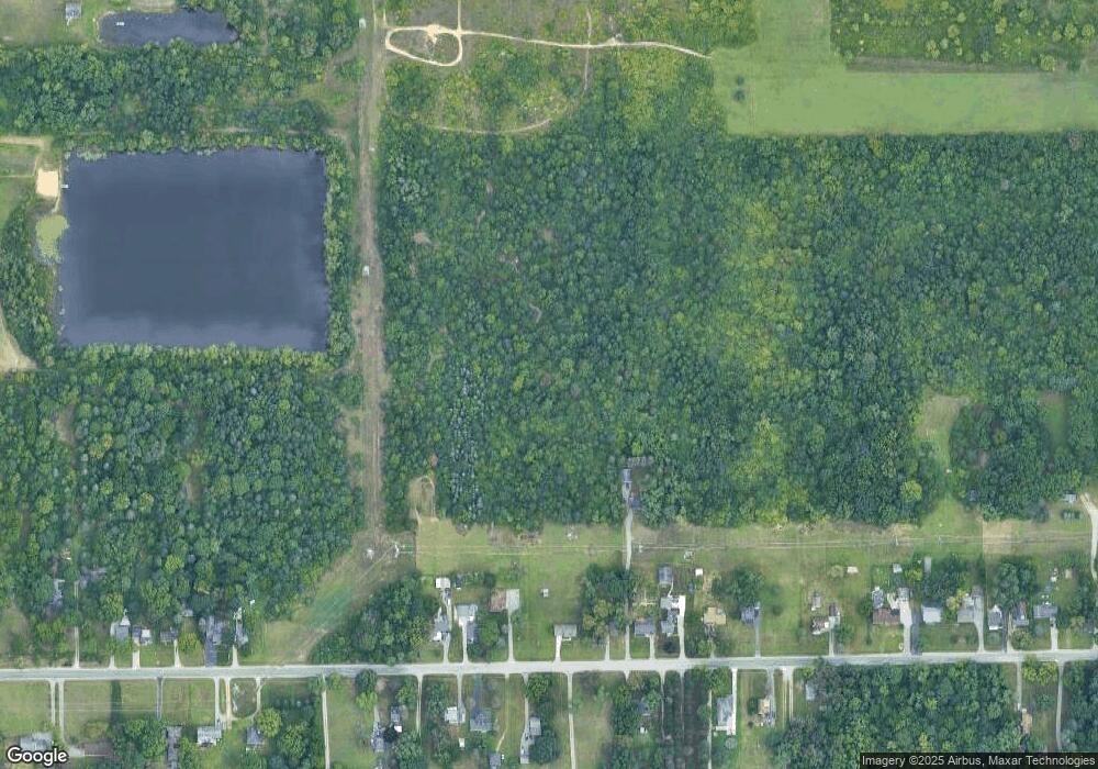
Map
Nearby Homes
- 3364 E Pierson Rd
- 3456 E Pierson Rd
- 2919 Hampstead Dr
- 4907 Delta Dr
- 2825 Eaton Place
- 3294 Huggins Ave
- 4298 N Center Rd
- 2727 Eaton Place
- 4141 Hidden View Dr
- 5919 Western Rd
- 00 Richfield Rd
- 2935 Richfield Rd
- 0 Sugar Maple Farms Unit 50195365
- 3705 Aldon Ln
- 4413 Esta Dr
- 4237 Sugar Maple Run Unit 8
- 4231 Sugar Maple Run
- 3006 Agree Ave
- 4225 Sugar Maple Run Unit 6
- 4213 Sugar Maple Run
- 3323 E Pierson Rd Unit Bldg-Unit
- 3323 E Pierson Rd
- 3293 E Pierson Rd
- 3331 E Pierson Rd
- 3283 E Pierson Rd
- 3343 E Pierson Rd
- 3363 E Pierson Rd
- 3333 E Pierson Rd
- 3355 E Pierson Rd
- 3381 E Pierson Rd
- 3221 E Pierson Rd
- 3235 E Pierson Rd
- 3310 E Pierson Rd
- 3401 E Pierson Rd
- 4145 N Center Rd
- 3336 E Pierson Rd
- 3227 E Pierson Rd
- 3288 E Pierson Rd
- 3413 E Pierson Rd
- 3382 E Pierson Rd
Your Personal Tour Guide
Ask me questions while you tour the home.