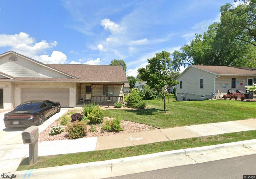
332 5th Ave N Onalaska, WI 54650
Estimated Value: $287,000 - $304,000
Studio
--
Bath
--
Sq Ft
6,534
Sq Ft Lot
About This Home
This home is located at 332 5th Ave N, Onalaska, WI 54650 and is currently estimated at $293,812. 332 5th Ave N is a home located in La Crosse County with nearby schools including Pertzsch Elementary School, Onalaska High School, and St. Patrick School.
Ownership History
Date
Name
Owned For
Owner Type
Purchase Details
Closed on
Nov 9, 2016
Sold by
Wing Ricky L and Wing Sandra L
Bought by
Gallagher Robyn C
Current Estimated Value
Home Financials for this Owner
Home Financials are based on the most recent Mortgage that was taken out on this home.
Original Mortgage
$163,400
Outstanding Balance
$129,051
Interest Rate
3.42%
Mortgage Type
New Conventional
Estimated Equity
$164,761
Purchase Details
Closed on
Mar 27, 2010
Sold by
Worke Randy D and Worke Elizabeth
Bought by
Wing Ricky L and Wing Sandra L
Create a Home Valuation Report for This Property
The Home Valuation Report is an in-depth analysis detailing your home's value as well as a comparison with similar homes in the area
Home Values in the Area
Average Home Value in this Area
Purchase History
| Date | Buyer | Sale Price | Title Company |
|---|---|---|---|
| Gallagher Robyn C | $168,500 | Knight Barry Title | |
| Wing Ricky L | $139,500 | None Available |
Source: Public Records
Mortgage History
| Date | Status | Borrower | Loan Amount |
|---|---|---|---|
| Open | Gallagher Robyn C | $163,400 |
Source: Public Records
Tax History
| Year | Tax Paid | Tax Assessment Tax Assessment Total Assessment is a certain percentage of the fair market value that is determined by local assessors to be the total taxable value of land and additions on the property. | Land | Improvement |
|---|---|---|---|---|
| 2025 | $3,229 | $253,700 | $32,700 | $221,000 |
| 2024 | $3,209 | $190,000 | $32,700 | $157,300 |
| 2023 | $2,845 | $190,000 | $32,700 | $157,300 |
| 2022 | $2,767 | $190,000 | $32,700 | $157,300 |
| 2021 | $2,996 | $178,400 | $29,300 | $149,100 |
| 2020 | $2,954 | $178,400 | $29,300 | $149,100 |
| 2019 | $2,998 | $178,400 | $29,300 | $149,100 |
| 2018 | $2,701 | $147,500 | $27,800 | $119,700 |
| 2017 | $2,726 | $147,500 | $27,800 | $119,700 |
| 2016 | $2,991 | $147,500 | $27,800 | $119,700 |
| 2015 | $2,887 | $139,100 | $27,700 | $111,400 |
| 2014 | $2,862 | $139,100 | $27,700 | $111,400 |
| 2013 | $2,858 | $139,100 | $27,700 | $111,400 |
Source: Public Records
Map
Nearby Homes
- 341 5th Ave N
- 440 2nd Ave N
- 811 Pierce St
- 205 Main St
- 203 3rd Ave S
- 000 Wisconsin 35
- 235 9th Ave S
- 1028 Main St
- 1111 Pierce St
- 526 11th Ave N
- 912 Northern Sands Place Unit 2B
- 622 9th Ave S
- 907 Wilson St
- 1014 Green Bay St
- 703 Hanson Ct
- 713 Hanson Ct
- 619 Johnson St
- 621 Johnson St
- 618 Johnson St
- 620 Johnson St
Your Personal Tour Guide
Ask me questions while you tour the home.