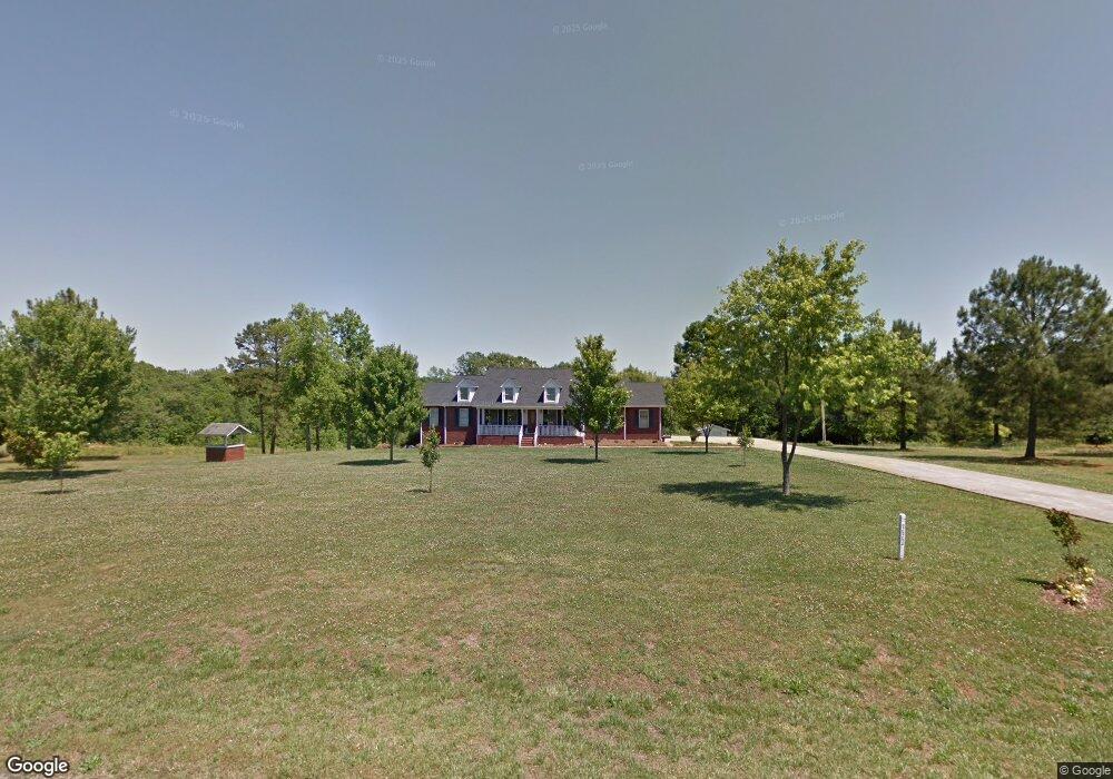
332 Alf Hoover Rd Lincolnton, NC 28092
Estimated Value: $288,000 - $479,295
3
Beds
2
Baths
1,888
Sq Ft
$210/Sq Ft
Est. Value
About This Home
This home is located at 332 Alf Hoover Rd, Lincolnton, NC 28092 and is currently estimated at $396,074, approximately $209 per square foot. 332 Alf Hoover Rd is a home located in Lincoln County with nearby schools including Norris S. Childers Elementary School, West Lincoln Middle, and West Lincoln High School.
Ownership History
Date
Name
Owned For
Owner Type
Purchase Details
Closed on
Sep 13, 2024
Sold by
Heafner Mary Margaret and Heafner William David
Bought by
Heafner William David and Heafner Sandra
Current Estimated Value
Purchase Details
Closed on
May 15, 2007
Sold by
Heafner William David and Heafner Mary Margaret
Bought by
Heafner William David and Heafner Sandra
Create a Home Valuation Report for This Property
The Home Valuation Report is an in-depth analysis detailing your home's value as well as a comparison with similar homes in the area
Home Values in the Area
Average Home Value in this Area
Purchase History
| Date | Buyer | Sale Price | Title Company |
|---|---|---|---|
| Heafner William David | -- | None Listed On Document | |
| Heafner William David | -- | None Available |
Source: Public Records
Tax History Compared to Growth
Tax History
| Year | Tax Paid | Tax Assessment Tax Assessment Total Assessment is a certain percentage of the fair market value that is determined by local assessors to be the total taxable value of land and additions on the property. | Land | Improvement |
|---|---|---|---|---|
| 2025 | $2,921 | $438,366 | $35,472 | $402,894 |
| 2024 | $2,874 | $433,979 | $30,104 | $403,875 |
| 2023 | $2,869 | $433,979 | $30,104 | $403,875 |
| 2022 | $2,117 | $265,302 | $24,864 | $240,438 |
| 2021 | $2,117 | $265,302 | $24,864 | $240,438 |
| 2020 | $1,949 | $265,302 | $24,864 | $240,438 |
| 2019 | $1,949 | $265,302 | $24,864 | $240,438 |
| 2018 | $1,731 | $222,319 | $22,816 | $199,503 |
| 2017 | $1,630 | $222,319 | $22,816 | $199,503 |
| 2016 | $1,630 | $222,319 | $22,816 | $199,503 |
| 2015 | $1,698 | $222,319 | $22,816 | $199,503 |
| 2014 | $1,540 | $207,310 | $24,396 | $182,914 |
Source: Public Records
Map
Nearby Homes
- 142 Alf Hoover Rd
- 3300 Paul Heavner Ln
- 2508 Rock Dam Rd
- 3817 Spike Ln
- 000 Flag Ln Unit 53
- 1643 Flag Ln
- 1551 J Rhyne Reep Rd
- 1000 Creekside Dr
- 1259 Haywood Ct
- 938 Lyndsey Brook Ct
- 1084 Lyndsey Brook Ct
- 3987 W Highway 27
- 1074 Lyndsey Brook Ct
- 4318 Katie Reep Ln
- 940 Guy Heavner Rd
- 2383 N Carolina 182
- 1983 Seagletown Rd
- 00 Pleasant Grove Church Rd
- 00 Wilson Ct Unit 15
- 00 Wilson Ct Unit 13
- 134 Alf Hoover Rd
- 359 Alf Hoover Rd
- 306 Alf Hoover Rd
- 283 Alf Hoover Rd
- 244 Alf Hoover Rd
- 387 Alf Hoover Rd
- 401 Alf Hoover Rd
- 3406 Paul Heavner Ln
- 265 Alf Hoover Rd
- 410 Alf Hoover Rd
- 3341 Paul Heavner Ln
- 421 Alf Hoover Rd
- 234 Alf Hoover Rd
- 3377 Paul Heavner Ln
- Lot 11 Laurel Ridge Dr
- Lot 11 Laurel Ridge Dr Unit 11
- 000 Laurel Ridge Dr Unit Lot 11
- 000 Laurel Ridge Dr
- 315 Laurel Ridge Dr
- 315 Laurel Ridge Dr Unit 9