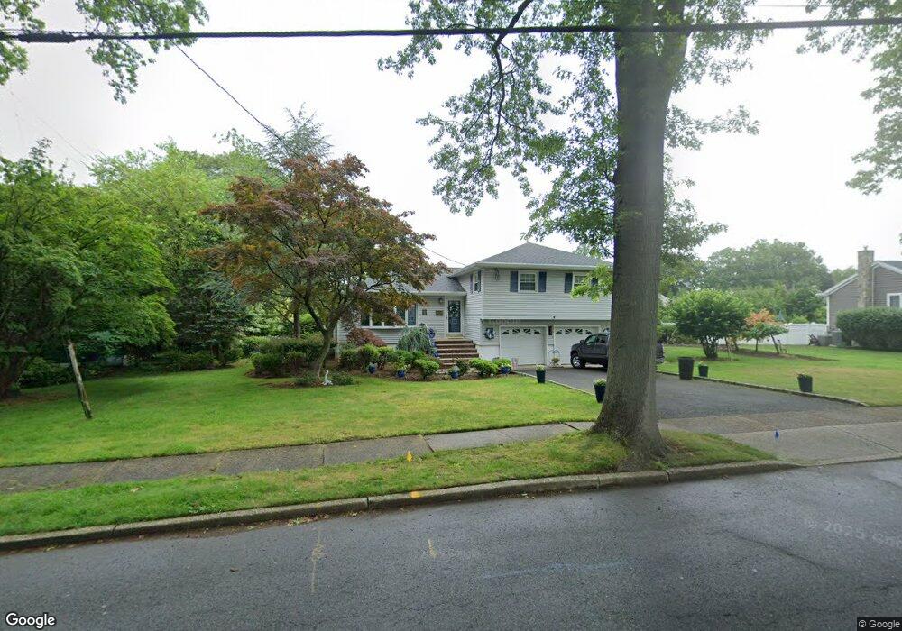
332 Beechwood Rd Oradell, NJ 07649
Estimated Value: $1,031,000 - $1,207,000
4
Beds
3
Baths
2,106
Sq Ft
$522/Sq Ft
Est. Value
About This Home
This home is located at 332 Beechwood Rd, Oradell, NJ 07649 and is currently estimated at $1,099,405, approximately $522 per square foot. 332 Beechwood Rd is a home located in Bergen County with nearby schools including Oradell Elementary School, River Dell Middle School, and River Dell Regional High School.
Ownership History
Date
Name
Owned For
Owner Type
Purchase Details
Closed on
Mar 27, 2006
Sold by
Duddie Michael A
Bought by
Duddie Michael A and Episcorio Christina
Current Estimated Value
Home Financials for this Owner
Home Financials are based on the most recent Mortgage that was taken out on this home.
Original Mortgage
$400,000
Interest Rate
6.67%
Create a Home Valuation Report for This Property
The Home Valuation Report is an in-depth analysis detailing your home's value as well as a comparison with similar homes in the area
Home Values in the Area
Average Home Value in this Area
Purchase History
| Date | Buyer | Sale Price | Title Company |
|---|---|---|---|
| Duddie Michael A | -- | -- |
Source: Public Records
Mortgage History
| Date | Status | Borrower | Loan Amount |
|---|---|---|---|
| Previous Owner | Duddie Michael A | $400,000 |
Source: Public Records
Tax History Compared to Growth
Tax History
| Year | Tax Paid | Tax Assessment Tax Assessment Total Assessment is a certain percentage of the fair market value that is determined by local assessors to be the total taxable value of land and additions on the property. | Land | Improvement |
|---|---|---|---|---|
| 2025 | $16,406 | $841,600 | $521,600 | $320,000 |
| 2024 | $16,734 | $602,700 | $321,500 | $281,200 |
| 2023 | $15,765 | $627,200 | $320,300 | $306,900 |
| 2022 | $16,015 | $598,900 | $307,800 | $291,100 |
| 2021 | $15,662 | $569,100 | $290,300 | $278,800 |
| 2020 | $15,733 | $569,400 | $292,300 | $277,100 |
| 2019 | $15,604 | $560,100 | $288,300 | $271,800 |
| 2018 | $15,402 | $561,100 | $289,300 | $271,800 |
| 2017 | $14,910 | $551,800 | $285,300 | $266,500 |
| 2016 | $14,770 | $496,300 | $276,600 | $219,700 |
| 2015 | $14,197 | $496,300 | $276,600 | $219,700 |
| 2014 | $13,567 | $496,300 | $276,600 | $219,700 |
Source: Public Records
Map
Nearby Homes
- 69 River Rd
- 171 Harrison St
- 133 Center St Unit E5
- 109 Center St
- 147 Pine Ave
- 171 Cleveland St
- 243 Main St
- 256 Stevens Ct
- 590 Center St Unit 1
- 264 Demarest Ave
- 507 James St
- 627 Concord St
- 274 Milford Ave
- 608 Fermery Dr
- 502 Prospect Ave
- 5 Lawrence Ave
- 314 Hirschfeld Place
- 377 New Milford Ave
- 680 Soldier Hill Rd
- 211 Madison Ave
- 324 Beechwood Rd
- 340 Beechwood Rd
- 327 Country Club Dr
- 392 Grant Ave
- 317 Country Club Dr
- 316 Beechwood Rd
- 307 Country Club Dr
- 339 Beechwood Rd
- 410 Grant Ave
- 319 Beechwood Rd
- 297 Country Club Dr
- 308 Beechwood Rd
- 357 Oradell Ave
- 379 Grant Ave
- 338 Country Club Dr
- 383 Grant Ave
- 410 Primrose Ave
- 360 Grant Ave
- 311 Beechwood Rd
- 350 Hasbrouck Blvd