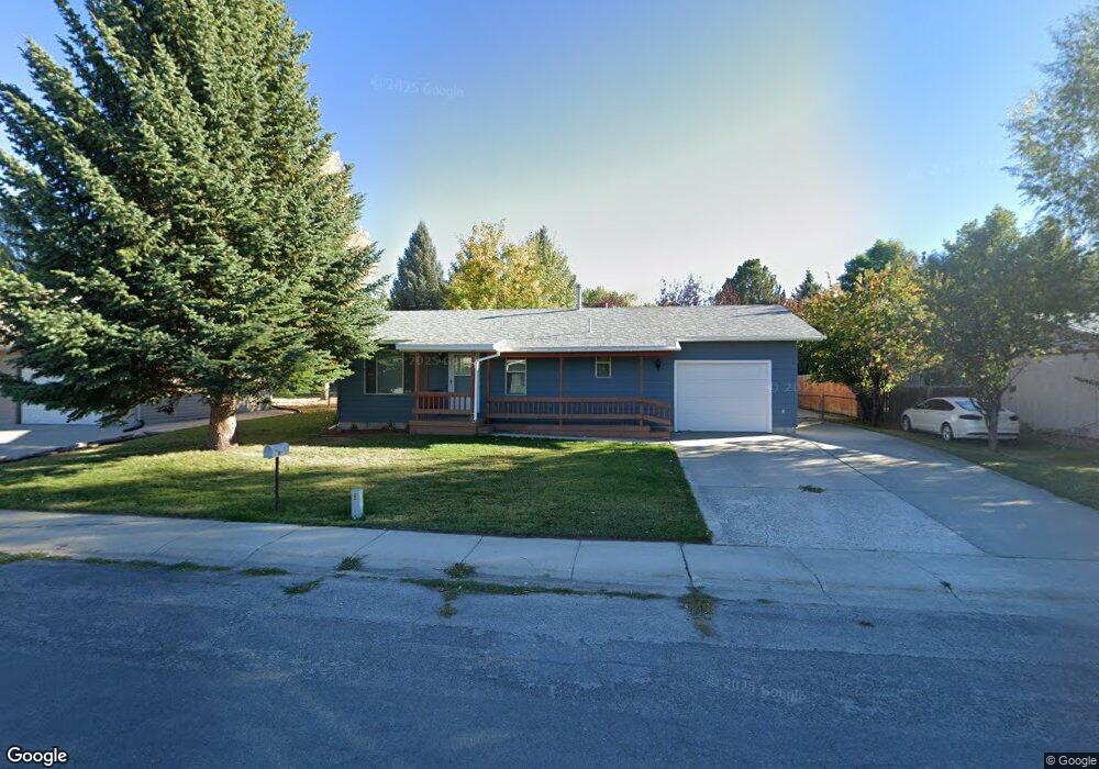
332 Bellvue Ave Lander, WY 82520
Estimated Value: $273,000 - $360,000
2
Beds
1
Bath
936
Sq Ft
$343/Sq Ft
Est. Value
About This Home
This home is located at 332 Bellvue Ave, Lander, WY 82520 and is currently estimated at $321,200, approximately $343 per square foot. 332 Bellvue Ave is a home located in Fremont County with nearby schools including Lander Valley High School, Elevation Academy, and Lander Christian Academy.
Ownership History
Date
Name
Owned For
Owner Type
Purchase Details
Closed on
Nov 15, 2021
Sold by
Bjornlie Daniel D
Bought by
Walker James N and Walker Shirley A
Current Estimated Value
Home Financials for this Owner
Home Financials are based on the most recent Mortgage that was taken out on this home.
Original Mortgage
$150,000
Outstanding Balance
$137,487
Interest Rate
3.01%
Mortgage Type
New Conventional
Estimated Equity
$183,713
Create a Home Valuation Report for This Property
The Home Valuation Report is an in-depth analysis detailing your home's value as well as a comparison with similar homes in the area
Home Values in the Area
Average Home Value in this Area
Purchase History
| Date | Buyer | Sale Price | Title Company |
|---|---|---|---|
| Walker James N | -- | First American Title Ins Co |
Source: Public Records
Mortgage History
| Date | Status | Borrower | Loan Amount |
|---|---|---|---|
| Open | Walker James N | $150,000 |
Source: Public Records
Tax History Compared to Growth
Tax History
| Year | Tax Paid | Tax Assessment Tax Assessment Total Assessment is a certain percentage of the fair market value that is determined by local assessors to be the total taxable value of land and additions on the property. | Land | Improvement |
|---|---|---|---|---|
| 2025 | $1,778 | $17,852 | $4,395 | $13,457 |
| 2024 | $1,778 | $23,042 | $5,861 | $17,181 |
| 2023 | $1,704 | $22,256 | $5,720 | $16,536 |
| 2022 | $1,431 | $19,104 | $5,720 | $13,384 |
| 2021 | $1,309 | $16,913 | $5,720 | $11,193 |
| 2020 | $1,239 | $16,044 | $5,720 | $10,324 |
| 2019 | $1,162 | $14,801 | $4,810 | $9,991 |
| 2018 | $1,158 | $14,593 | $4,810 | $9,783 |
| 2017 | $1,111 | $13,967 | $4,810 | $9,157 |
| 2016 | $1,117 | $14,065 | $4,810 | $9,255 |
| 2015 | $1,137 | $14,475 | $4,810 | $9,665 |
| 2014 | $1,176 | $14,987 | $4,810 | $10,177 |
Source: Public Records
Map
Nearby Homes
- 685 Cedar St
- 400 S 1st St
- 108 Canyon St
- 200 Sweetwater St
- 250 Dillon Dr
- 275 Cascade St
- 975 S 2nd St
- 333 Cascade St
- 230 Capitol St
- 0 E Main (17 1 + - Acres) Unit 20256293
- 1100 Pronghorn Dr
- 1072 Pronghorn Dr
- 1062 Pronghorn Dr
- 112 Northside Dr
- 605 Cliff St
- 1520 Rodeo Dr
- 385 Wood St
- 617 Main St Unit LotWP001
- 442 Eugene St
- 445 Market St
- 324 Bellvue Ave
- 348 Bellvue Ave
- 353 Del St
- 349 Del St
- 320 Bellvue Ave
- 356 Bellvue Ave
- 341 Bellvue Ave
- 349 Bellvue Ave
- 357 Del St
- 341 Del St
- 333 Bellvue Ave
- 357 Bellvue Ave
- 365 Del St
- 333 Del St
- 316 Bellvue Ave
- 368 Bellvue Ave
- 368 Bellvue Ave Unit Cedar Street
- 325 Bellvue Ave
- 365 Bellvue Ave
- 348 Del St