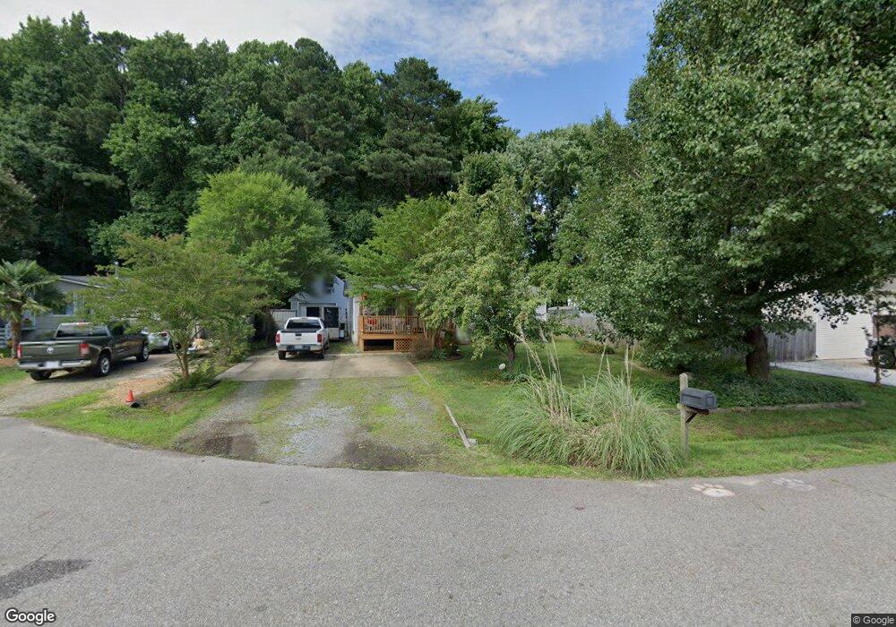
332 Cattail Ln Yorktown, VA 23693
Tabb NeighborhoodEstimated Value: $187,000 - $254,000
3
Beds
2
Baths
1,072
Sq Ft
$209/Sq Ft
Est. Value
About This Home
This home is located at 332 Cattail Ln, Yorktown, VA 23693 and is currently estimated at $223,667, approximately $208 per square foot. 332 Cattail Ln is a home located in York County with nearby schools including Tabb Elementary School, Tabb Middle School, and Tabb High School.
Ownership History
Date
Name
Owned For
Owner Type
Purchase Details
Closed on
Apr 30, 2001
Sold by
Price Keith D
Bought by
Joye Duane D
Current Estimated Value
Home Financials for this Owner
Home Financials are based on the most recent Mortgage that was taken out on this home.
Original Mortgage
$91,650
Outstanding Balance
$33,842
Interest Rate
6.88%
Estimated Equity
$189,825
Create a Home Valuation Report for This Property
The Home Valuation Report is an in-depth analysis detailing your home's value as well as a comparison with similar homes in the area
Home Values in the Area
Average Home Value in this Area
Purchase History
| Date | Buyer | Sale Price | Title Company |
|---|---|---|---|
| Joye Duane D | $89,000 | -- |
Source: Public Records
Mortgage History
| Date | Status | Borrower | Loan Amount |
|---|---|---|---|
| Open | Joye Duane D | $91,650 |
Source: Public Records
Tax History Compared to Growth
Tax History
| Year | Tax Paid | Tax Assessment Tax Assessment Total Assessment is a certain percentage of the fair market value that is determined by local assessors to be the total taxable value of land and additions on the property. | Land | Improvement |
|---|---|---|---|---|
| 2025 | $1,572 | $212,400 | $90,000 | $122,400 |
| 2024 | $1,572 | $212,400 | $90,000 | $122,400 |
| 2023 | $1,316 | $170,900 | $84,000 | $86,900 |
| 2022 | $1,333 | $170,900 | $84,000 | $86,900 |
| 2021 | $1,109 | $139,500 | $84,000 | $55,500 |
| 2020 | $1,109 | $139,500 | $84,000 | $55,500 |
| 2019 | $1,431 | $125,500 | $70,000 | $55,500 |
| 2018 | $1,431 | $125,500 | $70,000 | $55,500 |
| 2017 | $889 | $118,300 | $67,000 | $51,300 |
| 2016 | $889 | $118,300 | $67,000 | $51,300 |
| 2015 | -- | $119,300 | $68,000 | $51,300 |
| 2014 | -- | $119,300 | $68,000 | $51,300 |
Source: Public Records
Map
Nearby Homes
- 209 Cattail Ln
- 104 Blackwood Ct
- 323 Vista Point Dr
- 314 Vista Point Dr
- 6+ AC Vista Point Dr
- 200 Clay Pipe Ln
- 6 E Dressage Ct
- 201 Amersham Dr Unit B
- 104 Camden Way Unit G
- 104 Camden Way
- 212 Tabb Smith Trail
- 137 White Cedar Ln
- 111 Hautz Way
- 401 Tabb Smith Trail
- 105 Clydesdale Dr
- 106 Robin Hood Dr
- 164 Corwin Cir
- 161 Corwin Cir
- 90 Madison Chase
- 10 Musket Ln
- 334 Cattail Ln
- 330 Cattail Ln
- 410 Windy Shore Dr
- 408 Windy Shore Dr
- 336 Cattail Ln
- 331 Cattail Ln
- 333 Cattail Ln
- 329 Cattail Ln
- 406 Windy Shore Dr
- 337 Cattail Ln
- 411 Windy Shore Dr
- 127 Spruce Dr
- 327 Cattail Ln
- 404 Windy Shore Dr
- 324 Cattail Ln
- 325 Cattail Ln
- 125 Spruce Dr
- 126 Spruce Dr
- 402 Windy Shore Dr
- 320 Cattail Ln