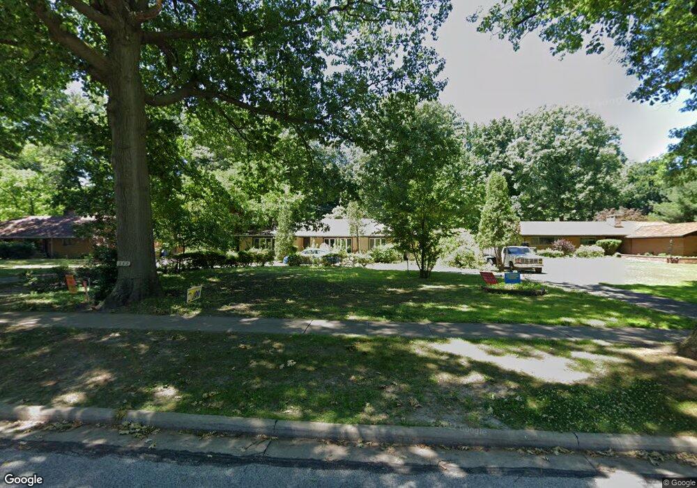
332 Corning Dr Cleveland, OH 44108
Glenville NeighborhoodEstimated Value: $364,000 - $509,000
3
Beds
3
Baths
2,253
Sq Ft
$186/Sq Ft
Est. Value
About This Home
This home is located at 332 Corning Dr, Cleveland, OH 44108 and is currently estimated at $420,034, approximately $186 per square foot. 332 Corning Dr is a home located in Cuyahoga County with nearby schools including Citizens Academy, Lake Erie College Preparatory School, and St. Aloysius - St. Agatha School.
Ownership History
Date
Name
Owned For
Owner Type
Purchase Details
Closed on
Nov 30, 2021
Sold by
Seay Sr Robert P and Seay Shirley J
Bought by
Seay Irrevocable Heritage Trust
Current Estimated Value
Purchase Details
Closed on
Jun 30, 1999
Sold by
Kruger Carl Jeffrey
Bought by
Seay Robert P and Seay Shirley J
Home Financials for this Owner
Home Financials are based on the most recent Mortgage that was taken out on this home.
Original Mortgage
$174,300
Interest Rate
7.29%
Purchase Details
Closed on
Oct 10, 1980
Sold by
Zager Louis F
Bought by
Kruger Jean
Purchase Details
Closed on
Jan 1, 1975
Bought by
Zager Louis F
Create a Home Valuation Report for This Property
The Home Valuation Report is an in-depth analysis detailing your home's value as well as a comparison with similar homes in the area
Home Values in the Area
Average Home Value in this Area
Purchase History
| Date | Buyer | Sale Price | Title Company |
|---|---|---|---|
| Seay Irrevocable Heritage Trust | -- | None Listed On Document | |
| Seay Irrevocable Heritage Trust | -- | None Listed On Document | |
| Seay Robert P | $217,900 | Enterprise Title Agency Inc | |
| Kruger Jean | $160,000 | -- | |
| Zager Louis F | -- | -- |
Source: Public Records
Mortgage History
| Date | Status | Borrower | Loan Amount |
|---|---|---|---|
| Previous Owner | Seay Robert P | $174,300 |
Source: Public Records
Tax History
| Year | Tax Paid | Tax Assessment Tax Assessment Total Assessment is a certain percentage of the fair market value that is determined by local assessors to be the total taxable value of land and additions on the property. | Land | Improvement |
|---|---|---|---|---|
| 2024 | $8,616 | $145,670 | $32,200 | $113,470 |
| 2023 | $6,264 | $92,580 | $21,530 | $71,050 |
| 2022 | $6,255 | $92,580 | $21,530 | $71,050 |
| 2021 | $6,280 | $92,580 | $21,530 | $71,050 |
| 2020 | $6,601 | $84,140 | $19,570 | $64,580 |
| 2019 | $6,103 | $240,400 | $55,900 | $184,500 |
| 2018 | $6,083 | $84,140 | $19,570 | $64,580 |
| 2017 | $5,982 | $79,560 | $22,120 | $57,440 |
| 2016 | $5,931 | $79,560 | $22,120 | $57,440 |
| 2015 | $5,823 | $79,560 | $22,120 | $57,440 |
| 2014 | $5,823 | $77,250 | $21,490 | $55,760 |
Source: Public Records
Map
Nearby Homes
- SL 6 Lakehurst Dr
- 445 E 109th St
- 10639 Dupont Ave
- 20 Hamlet Ct
- 10211 Lakeshore Blvd
- 10626 Dupont Ave
- 472 E 110th St
- 11601 Rutland Ave
- 11606 Shadeland Ave
- 10525 Elk Ave
- 11803 Rutland Ave
- 528 E 109th St
- 10211 Lake Shore Blvd
- 1 Bratenahl Place Unit 711
- 1 Bratenahl Place Unit 1411
- 1 Bratenahl Place Unit 605
- 1 Bratenahl Place Unit 802
- 1 Bratenahl Place Unit 604
- 1 Bratenahl Place Unit 701
- 1 Bratenahl Place Unit 901
- 328 Corning Dr
- 336 Corning Dr
- 320 Corning Dr
- 10910 Lakeshore Blvd
- 333 Corning Dr
- 10920 Lake Shore Blvd
- 329 Corning Dr
- 10900 Lake Shore Blvd
- 335 Corning Dr
- 10910 Lake Shore Blvd
- 10810 Lake Shore Blvd
- 325 Corning Dr
- 316 Corning Dr
- 10808 Lake Shore Blvd
- 10718 Lakeshore Blvd
- 10718 Lake Shore Blvd
- 321 Corning Dr
- 312 Corning Dr
- 355 Lakehurst Dr
- 317 Corning Dr
Your Personal Tour Guide
Ask me questions while you tour the home.