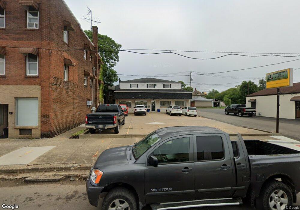
332 Erie St S Massillon, OH 44646
Downtown Massillon NeighborhoodEstimated Value: $235,494
--
Bed
3
Baths
5,661
Sq Ft
$42/Sq Ft
Est. Value
About This Home
This home is located at 332 Erie St S, Massillon, OH 44646 and is currently estimated at $235,494, approximately $41 per square foot. 332 Erie St S is a home located in Stark County with nearby schools including Massillon Intermediate School, Massillon Junior High School, and Washington High School.
Ownership History
Date
Name
Owned For
Owner Type
Purchase Details
Closed on
Aug 24, 2015
Sold by
Mathis David and Mathis Mary
Bought by
Round Box Management Llc
Current Estimated Value
Purchase Details
Closed on
Mar 21, 2011
Sold by
Brave Enterprises Llc
Bought by
Mathis David and Mathis Mary
Home Financials for this Owner
Home Financials are based on the most recent Mortgage that was taken out on this home.
Original Mortgage
$82,250
Interest Rate
4.88%
Mortgage Type
Future Advance Clause Open End Mortgage
Purchase Details
Closed on
Jan 31, 2007
Sold by
Fichter Evelyn J
Bought by
Brave Enterprises Llc
Purchase Details
Closed on
Sep 1, 1999
Sold by
Hall Of Fame Auto Parts Inc
Bought by
Fichter Thomas J and Fichter Evelyn J
Purchase Details
Closed on
Jun 28, 1991
Create a Home Valuation Report for This Property
The Home Valuation Report is an in-depth analysis detailing your home's value as well as a comparison with similar homes in the area
Home Values in the Area
Average Home Value in this Area
Purchase History
| Date | Buyer | Sale Price | Title Company |
|---|---|---|---|
| Round Box Management Llc | -- | Attorney | |
| Mathis David | $117,500 | Attorney | |
| Brave Enterprises Llc | $125,000 | Attorney | |
| Fichter Thomas J | $125,000 | -- | |
| -- | -- | -- |
Source: Public Records
Mortgage History
| Date | Status | Borrower | Loan Amount |
|---|---|---|---|
| Previous Owner | Mathis David | $82,250 |
Source: Public Records
Tax History Compared to Growth
Tax History
| Year | Tax Paid | Tax Assessment Tax Assessment Total Assessment is a certain percentage of the fair market value that is determined by local assessors to be the total taxable value of land and additions on the property. | Land | Improvement |
|---|---|---|---|---|
| 2025 | -- | $51,670 | $14,460 | $37,210 |
| 2024 | -- | $51,670 | $14,460 | $37,210 |
| 2023 | $2,580 | $43,050 | $12,040 | $31,010 |
| 2022 | $2,600 | $43,050 | $12,040 | $31,010 |
| 2021 | $2,636 | $43,050 | $12,040 | $31,010 |
| 2020 | $2,560 | $39,140 | $10,960 | $28,180 |
| 2019 | $2,542 | $39,140 | $10,960 | $28,180 |
| 2018 | $2,457 | $39,140 | $10,960 | $28,180 |
| 2017 | $2,636 | $38,870 | $9,280 | $29,590 |
| 2016 | $2,650 | $38,870 | $9,280 | $29,590 |
| 2015 | $3,307 | $38,870 | $9,280 | $29,590 |
| 2014 | $559 | $35,990 | $8,610 | $27,380 |
| 2013 | $1,283 | $35,990 | $8,610 | $27,380 |
Source: Public Records
Map
Nearby Homes
- 104 Penn Ave SE
- 202 Rose Ave SE
- 3476 Joyce Ave NW Unit 15
- 3414 Joyce Ave NW Unit 18
- Lot 42 Joyce Ave NW
- 509 Tremont Ave SE
- 532 4th St SW
- 46 5th St SE
- 227 2nd St NE
- 313 2nd St NE
- 521 Federal Ave NE
- 528 Lincoln Way E
- 512 6th St SW
- 637 Wallace Ave SE
- 17 Maple Ave SE
- 24 Houston St SW
- 832 Wellman Ave SE
- 652 Young St SE
- 620 1st St NW
- 611 3rd St NE