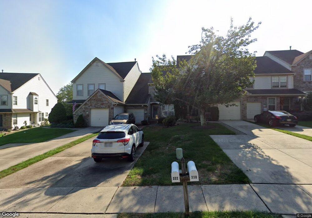
332 Glennbrook Way Chalfont, PA 18914
Estimated Value: $439,541 - $462,000
3
Beds
3
Baths
1,640
Sq Ft
$276/Sq Ft
Est. Value
About This Home
This home is located at 332 Glennbrook Way, Chalfont, PA 18914 and is currently estimated at $452,385, approximately $275 per square foot. 332 Glennbrook Way is a home located in Bucks County with nearby schools including Simon Butler Elementary, Unami Middle School, and Central Bucks High School - South.
Ownership History
Date
Name
Owned For
Owner Type
Purchase Details
Closed on
Jul 25, 2024
Sold by
Pera Lydia G
Bought by
Gruenbaum Danielle R
Current Estimated Value
Purchase Details
Closed on
Mar 16, 1994
Sold by
Chalfont Joint Venture
Bought by
Pera Walter S and Pera Lydia G
Home Financials for this Owner
Home Financials are based on the most recent Mortgage that was taken out on this home.
Original Mortgage
$100,000
Interest Rate
7.45%
Create a Home Valuation Report for This Property
The Home Valuation Report is an in-depth analysis detailing your home's value as well as a comparison with similar homes in the area
Home Values in the Area
Average Home Value in this Area
Purchase History
| Date | Buyer | Sale Price | Title Company |
|---|---|---|---|
| Gruenbaum Danielle R | -- | None Listed On Document | |
| Pera Walter S | $129,900 | -- |
Source: Public Records
Mortgage History
| Date | Status | Borrower | Loan Amount |
|---|---|---|---|
| Previous Owner | Pera Walter S | $100,000 |
Source: Public Records
Tax History Compared to Growth
Tax History
| Year | Tax Paid | Tax Assessment Tax Assessment Total Assessment is a certain percentage of the fair market value that is determined by local assessors to be the total taxable value of land and additions on the property. | Land | Improvement |
|---|---|---|---|---|
| 2025 | $4,485 | $25,880 | $3,000 | $22,880 |
| 2024 | $4,485 | $25,880 | $3,000 | $22,880 |
| 2023 | $4,342 | $25,880 | $3,000 | $22,880 |
| 2022 | $4,257 | $25,880 | $3,000 | $22,880 |
| 2021 | $4,208 | $25,880 | $3,000 | $22,880 |
| 2020 | $4,208 | $25,880 | $3,000 | $22,880 |
| 2019 | $4,157 | $25,880 | $3,000 | $22,880 |
| 2018 | $4,157 | $25,880 | $3,000 | $22,880 |
| 2017 | $4,124 | $25,880 | $3,000 | $22,880 |
| 2016 | $4,124 | $25,880 | $3,000 | $22,880 |
| 2015 | -- | $25,880 | $3,000 | $22,880 |
| 2014 | -- | $25,880 | $3,000 | $22,880 |
Source: Public Records
Map
Nearby Homes
- 434 Reagans Ln
- 245 Prince William Way
- 401 Reagans Ln
- 428 Reagans Ln
- 427 Reagans Ln
- 405 Reagans Ln
- 431 Reagans Ln
- 154 Galway Cir
- 435 Reagans Ln
- 109 Suffield Ct
- 458 Reagans Ln
- 437 Reagans Ln
- 456 Regans Ln
- 103 Bonnie Lark Ct
- 332 Foxtail Ln
- 259 Foxhedge Rd
- 261 Foxhedge Rd
- Cambridge Townhome Plan at Highpoint at New Britain
- Cambridge Twin Plan at Highpoint at New Britain
- Saint Andrews Plan at Highpoint at New Britain
- 330 Glennbrook Way
- 334 Glennbrook Way
- 328 Glennbrook Way
- 326 Glennbrook Way
- 336 Glennbrook Way
- 324 Glennbrook Way
- 338 Glennbrook Way
- 340 Glennbrook Way
- 322 Glennbrook Way
- 342 Glennbrook Way
- 100 Larkspur Ct
- 320 Glennbrook Way
- 344 Glennbrook Way
- 102 Larkspur Ct
- 318 Glennbrook Way
- 104 Larkspur Ct
- 346 Glennbrook Way
- 316 Glennbrook Way
- 101 Heath Ct
- 314 Glennbrook Way