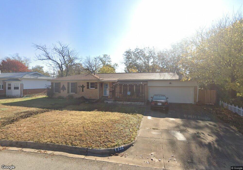
332 Hurst Dr Bedford, TX 76022
Estimated Value: $242,000 - $283,861
3
Beds
2
Baths
1,250
Sq Ft
$212/Sq Ft
Est. Value
About This Home
This home is located at 332 Hurst Dr, Bedford, TX 76022 and is currently estimated at $264,965, approximately $211 per square foot. 332 Hurst Dr is a home located in Tarrant County with nearby schools including Stonegate Elementary School, Central J High School, and L.D. Bell High School.
Ownership History
Date
Name
Owned For
Owner Type
Purchase Details
Closed on
Jun 14, 2018
Sold by
Parker Robert and Parker Dawn
Bought by
Trimm Kimberly Kay
Current Estimated Value
Home Financials for this Owner
Home Financials are based on the most recent Mortgage that was taken out on this home.
Original Mortgage
$171,830
Outstanding Balance
$151,017
Interest Rate
5.25%
Mortgage Type
FHA
Estimated Equity
$113,948
Purchase Details
Closed on
Jul 18, 1994
Sold by
Pawlowski John E and Pawlowski Donna J
Bought by
Williams Herman and Williams Irene K
Home Financials for this Owner
Home Financials are based on the most recent Mortgage that was taken out on this home.
Original Mortgage
$61,700
Interest Rate
8.21%
Mortgage Type
Seller Take Back
Create a Home Valuation Report for This Property
The Home Valuation Report is an in-depth analysis detailing your home's value as well as a comparison with similar homes in the area
Home Values in the Area
Average Home Value in this Area
Purchase History
| Date | Buyer | Sale Price | Title Company |
|---|---|---|---|
| Trimm Kimberly Kay | -- | None Available | |
| Williams Herman | -- | Safeco Land Title |
Source: Public Records
Mortgage History
| Date | Status | Borrower | Loan Amount |
|---|---|---|---|
| Open | Trimm Kimberly Kay | $171,830 | |
| Previous Owner | Williams Herman | $61,700 |
Source: Public Records
Tax History Compared to Growth
Tax History
| Year | Tax Paid | Tax Assessment Tax Assessment Total Assessment is a certain percentage of the fair market value that is determined by local assessors to be the total taxable value of land and additions on the property. | Land | Improvement |
|---|---|---|---|---|
| 2025 | $3,952 | $286,212 | $55,000 | $231,212 |
| 2024 | $3,952 | $286,212 | $55,000 | $231,212 |
| 2023 | $4,631 | $266,681 | $35,000 | $231,681 |
| 2022 | $4,794 | $228,660 | $35,000 | $193,660 |
| 2021 | $4,701 | $221,329 | $35,000 | $186,329 |
| 2020 | $4,313 | $181,410 | $35,000 | $146,410 |
| 2019 | $4,522 | $186,143 | $35,000 | $151,143 |
| 2018 | $2,648 | $124,715 | $16,000 | $108,715 |
| 2017 | $2,743 | $136,780 | $16,000 | $120,780 |
| 2016 | $2,493 | $111,198 | $16,000 | $95,198 |
| 2015 | $2,078 | $93,700 | $15,000 | $78,700 |
| 2014 | $2,078 | $93,700 | $15,000 | $78,700 |
Source: Public Records
Map
Nearby Homes
- 341 Hurst Dr
- 905 Brown Trail
- 344 Bedford Ct E
- 849 Russell Ln
- 803 Glenda Dr
- 802 Brown Trail
- 1008 Russell Ln
- 501 Merrill Dr
- 933 Wade Dr
- 1236 King Dr
- 1108 Wade Dr
- 1136 Simpson Dr
- 832 Chateau Valee Cir
- 1220 Norwood Dr
- 1016 Keith Dr
- 604 Donna Ln
- 127 W Cedar St
- 716 E Pecan St Unit 716 - 722
- 49 Coffee Tavern Rd
- 644 Caduceus Ln