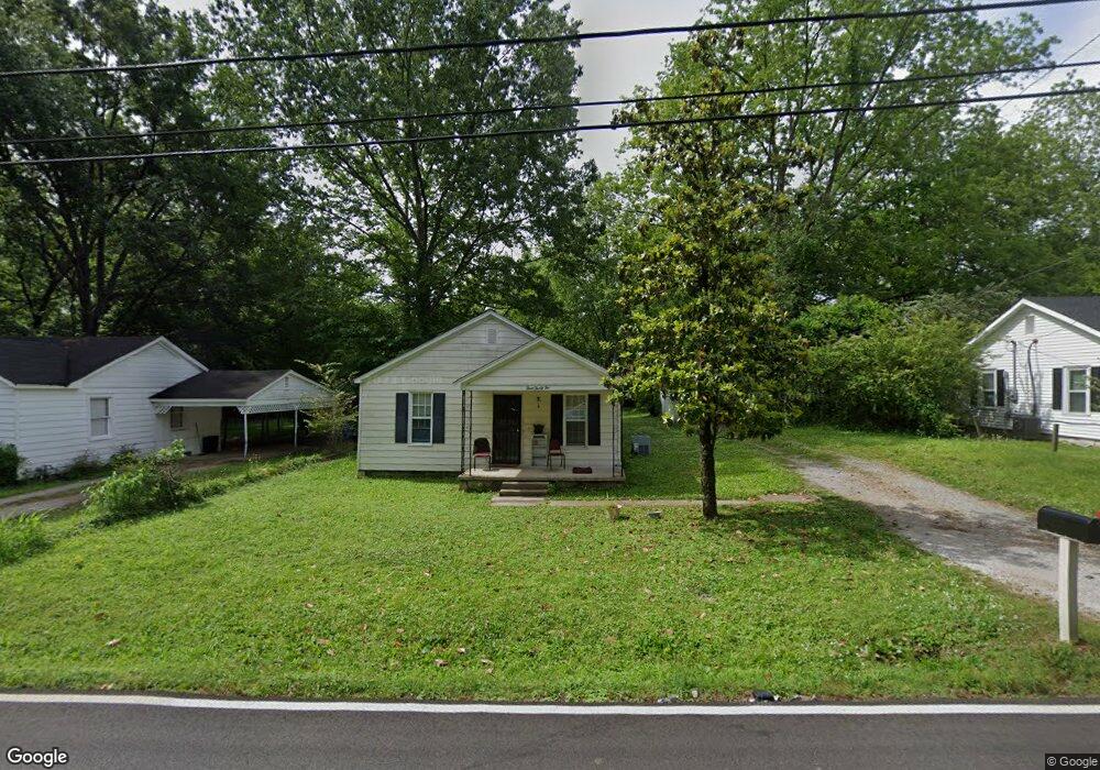
332 James Ave Covington, TN 38019
Estimated Value: $80,000 - $110,000
Studio
1
Bath
987
Sq Ft
$97/Sq Ft
Est. Value
About This Home
This home is located at 332 James Ave, Covington, TN 38019 and is currently estimated at $96,219, approximately $97 per square foot. 332 James Ave is a home located in Tipton County with nearby schools including Crestview Elementary School, Crestview Middle School, and Covington High School.
Ownership History
Date
Name
Owned For
Owner Type
Purchase Details
Closed on
May 12, 2020
Sold by
Whaley Larry W and Whaley Carolyn B
Bought by
City Of Covington
Current Estimated Value
Purchase Details
Closed on
Feb 2, 1998
Sold by
Davis Larry F
Bought by
Shrpe Jeffrey P
Purchase Details
Closed on
May 8, 1990
Bought by
Davis Larry F and Davis Brenda J
Purchase Details
Closed on
May 31, 1988
Bought by
Parr Patricia L and Patrick Edward B
Purchase Details
Closed on
May 17, 1985
Bought by
Simpson Jacquelyne Carol
Purchase Details
Closed on
Nov 18, 1976
Purchase Details
Closed on
Apr 16, 1976
Create a Home Valuation Report for This Property
The Home Valuation Report is an in-depth analysis detailing your home's value as well as a comparison with similar homes in the area
Purchase History
| Date | Buyer | Sale Price | Title Company |
|---|---|---|---|
| City Of Covington | -- | None Available | |
| Shrpe Jeffrey P | $18,000 | -- | |
| Davis Larry F | $24,500 | -- | |
| Parr Patricia L | $19,000 | -- | |
| Simpson Jacquelyne Carol | -- | -- | |
| -- | -- | -- | |
| -- | -- | -- |
Source: Public Records
Tax History
| Year | Tax Paid | Tax Assessment Tax Assessment Total Assessment is a certain percentage of the fair market value that is determined by local assessors to be the total taxable value of land and additions on the property. | Land | Improvement |
|---|---|---|---|---|
| 2025 | -- | $15,325 | $3,675 | $11,650 |
| 2024 | -- | $15,325 | $3,675 | $11,650 |
| 2023 | $233 | $15,325 | $3,675 | $11,650 |
| 2022 | $354 | $10,800 | $2,700 | $8,100 |
| 2021 | $354 | $10,800 | $2,700 | $8,100 |
| 2020 | $354 | $10,800 | $2,700 | $8,100 |
| 2019 | $383 | $10,200 | $2,700 | $7,500 |
| 2018 | $383 | $10,200 | $2,700 | $7,500 |
| 2017 | $383 | $10,200 | $2,700 | $7,500 |
| 2016 | $383 | $10,200 | $2,700 | $7,500 |
| 2015 | $382 | $10,200 | $2,700 | $7,500 |
| 2014 | $382 | $10,188 | $0 | $0 |
Source: Public Records
Map
Nearby Homes
- 502 James Ave
- 414 Hyde Park Cir
- 505 Lennanwood Ave
- 635 Oakview Ave
- 503 Terrace Dr
- 210 Kinney Ave
- 114 Boyce Ave
- 715 S Maple St
- 513 Garland Ave
- 713 S Tipton St
- 624 Fyfe St
- 605 Byars St
- 111 W Washington Ave
- 400 Park St
- 200 E Washington Ave
- 212 E Washington Ave
- 224 E Washington Ave
- 236 E Washington Ave
- 248 E Washington Ave
- 260 E Washington Ave
Your Personal Tour Guide
Ask me questions while you tour the home.