332 Mochican Ln Poplar Bluff, MO 63901
Estimated Value: $567,042 - $738,000
--
Bed
--
Bath
5,806
Sq Ft
$116/Sq Ft
Est. Value
About This Home
This home is located at 332 Mochican Ln, Poplar Bluff, MO 63901 and is currently estimated at $672,681, approximately $115 per square foot. 332 Mochican Ln is a home located in Butler County with nearby schools including East Carter County R-II Elementary School, East Carter County R-II Middle School, and East Carter County R-II High School.
Ownership History
Date
Name
Owned For
Owner Type
Purchase Details
Closed on
Nov 5, 2021
Sold by
Carter Shayne and Carter Ellen
Bought by
Switzer Steven and Switzer Kristin
Current Estimated Value
Home Financials for this Owner
Home Financials are based on the most recent Mortgage that was taken out on this home.
Original Mortgage
$185,364
Interest Rate
3.01%
Mortgage Type
Future Advance Clause Open End Mortgage
Purchase Details
Closed on
Dec 29, 2020
Sold by
Denney Dale and Carter Joyce
Bought by
Carter Shayne and Carter Ellen
Home Financials for this Owner
Home Financials are based on the most recent Mortgage that was taken out on this home.
Original Mortgage
$51,500
Interest Rate
2.71%
Mortgage Type
Stand Alone Refi Refinance Of Original Loan
Create a Home Valuation Report for This Property
The Home Valuation Report is an in-depth analysis detailing your home's value as well as a comparison with similar homes in the area
Home Values in the Area
Average Home Value in this Area
Purchase History
| Date | Buyer | Sale Price | Title Company |
|---|---|---|---|
| Switzer Steven | -- | Heritage Title Company | |
| Carter Shayne | -- | None Available |
Source: Public Records
Mortgage History
| Date | Status | Borrower | Loan Amount |
|---|---|---|---|
| Closed | Switzer Steven | $185,364 | |
| Closed | Carter Shayne | $51,500 |
Source: Public Records
Tax History Compared to Growth
Tax History
| Year | Tax Paid | Tax Assessment Tax Assessment Total Assessment is a certain percentage of the fair market value that is determined by local assessors to be the total taxable value of land and additions on the property. | Land | Improvement |
|---|---|---|---|---|
| 2024 | $3,574 | $99,860 | $0 | $0 |
| 2023 | $401 | $11,200 | $0 | $0 |
| 2022 | $389 | $10,890 | $0 | $0 |
| 2021 | $390 | $10,890 | $0 | $0 |
| 2020 | $372 | $10,300 | $0 | $0 |
| 2019 | $373 | $10,300 | $0 | $0 |
| 2018 | $373 | $10,340 | $0 | $0 |
| 2017 | -- | $10,340 | $0 | $0 |
| 2016 | -- | $10,340 | $0 | $0 |
| 2015 | -- | $10,340 | $0 | $0 |
| 2014 | -- | $9,730 | $0 | $0 |
| 2012 | $388 | $10,580 | $0 | $0 |
Source: Public Records
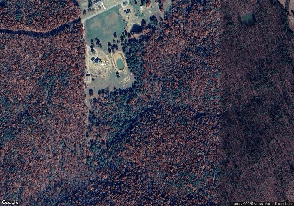
Map
Nearby Homes
- TBD County Road 426
- 125 Lanee Ln
- 109 Lanee Ln
- Tbd County Road 426
- 10576 Highway Pp
- 689 Hoot Owl Ln
- 10374 Highway 60 W
- 9711 Highway Pp
- 2751 Carter Route B
- 1790 Carter 327
- 139 County Road 425
- 0 9 6 Ac + - Off Tt Hwy Unit MIS25050752
- 31955 Us Highway 60
- 14108 Lynn Rd
- 858 County Road 420
- 0 Carter Route 266 Unit MAR24069627
- 00 Rabbit Run Rd
- 56 Stringtown St
- 202 Mount Ash Ln
- 0 Brownwood Trails #18 Unit MIS25061746
- 332 Mohican Ln
- 6019 County Road 426
- 5968 County Road 426
- 6071 County Road 426
- 6335 County Road 426
- 15576 Highway 60 W
- 14790 Highway Pp
- 15709 Highway 60 W
- 68 County Road 415
- 5522 County Road 426
- 14721 Highway Pp
- 14797 Highway Pp
- 5405 County Road 426
- 161 Cr 415
- 81 County Road 415
- 15446 Highway 60 W
- 137 County Road 415
- 14715 Highway 60 W
- 181 County Road 415
- 163 County Road 415