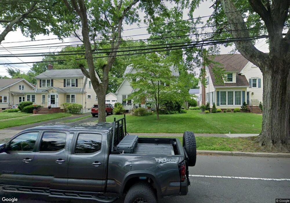
332 Walnut Ave Cranford, NJ 07016
Estimated Value: $610,710 - $952,000
Studio
--
Bath
1,856
Sq Ft
$435/Sq Ft
Est. Value
About This Home
This home is located at 332 Walnut Ave, Cranford, NJ 07016 and is currently estimated at $807,928, approximately $435 per square foot. 332 Walnut Ave is a home located in Union County with nearby schools including Cranford Sr High School, St Michael School, and Mother Seton Regional High School.
Ownership History
Date
Name
Owned For
Owner Type
Purchase Details
Closed on
Jun 18, 1999
Sold by
Jolly Douglas J and Jolly Linda
Bought by
Drake Linda and Jolly Linda
Current Estimated Value
Create a Home Valuation Report for This Property
The Home Valuation Report is an in-depth analysis detailing your home's value as well as a comparison with similar homes in the area
Home Values in the Area
Average Home Value in this Area
Purchase History
| Date | Buyer | Sale Price | Title Company |
|---|---|---|---|
| Drake Linda | -- | Stewart Title Guaranty Compa |
Source: Public Records
Tax History
| Year | Tax Paid | Tax Assessment Tax Assessment Total Assessment is a certain percentage of the fair market value that is determined by local assessors to be the total taxable value of land and additions on the property. | Land | Improvement |
|---|---|---|---|---|
| 2025 | $12,141 | $179,100 | $70,400 | $108,700 |
| 2024 | $11,941 | $179,100 | $70,400 | $108,700 |
| 2023 | $11,941 | $179,100 | $70,400 | $108,700 |
| 2022 | $11,842 | $179,100 | $70,400 | $108,700 |
| 2021 | $11,790 | $179,100 | $70,400 | $108,700 |
| 2020 | $11,753 | $179,100 | $70,400 | $108,700 |
| 2019 | $11,677 | $179,100 | $70,400 | $108,700 |
| 2018 | $11,466 | $179,100 | $70,400 | $108,700 |
| 2017 | $11,072 | $179,100 | $70,400 | $108,700 |
| 2016 | $10,669 | $179,100 | $70,400 | $108,700 |
| 2015 | $10,390 | $179,100 | $70,400 | $108,700 |
| 2014 | $10,176 | $179,100 | $70,400 | $108,700 |
Source: Public Records
Map
Nearby Homes
- 12 Dorchester Ave
- 301 Denman Rd
- 505 Lincoln Park E Unit 505
- 15 Roger Norton Place
- 13 Roger Ave
- 17 Cherokee Rd
- 501 Centennial Ave
- 21 Mohawk Dr
- 19 Munsee Dr
- 221 North Ave E
- 265 Hickory Ave
- 1921 Grandview Ave
- 22 Riverside Dr Unit B7
- 336 North Ave E
- 95 3rd Ave
- 201 Maple Place
- 716 Center St
- 21 Spruce St
- 440 Orchard St
- 2849 Verona Ave
- 330 Walnut Ave
- 334 Walnut Ave
- 336 Walnut Ave
- 326 Walnut Ave
- 6 Denman Place
- 8 Denman Place
- 4 Denman Place
- 10 Denman Place
- 2 Denman Place
- 12 Denman Place
- 327 Walnut Ave
- 329 Walnut Ave
- 325 Walnut Ave
- 331 Walnut Ave
- 322 Walnut Ave Unit 2
- 322 Walnut Ave
- 322 Walnut Ave Unit 1
- 333 Walnut Ave
- 323 Walnut Ave
- 100 Denman Rd
Your Personal Tour Guide
Ask me questions while you tour the home.