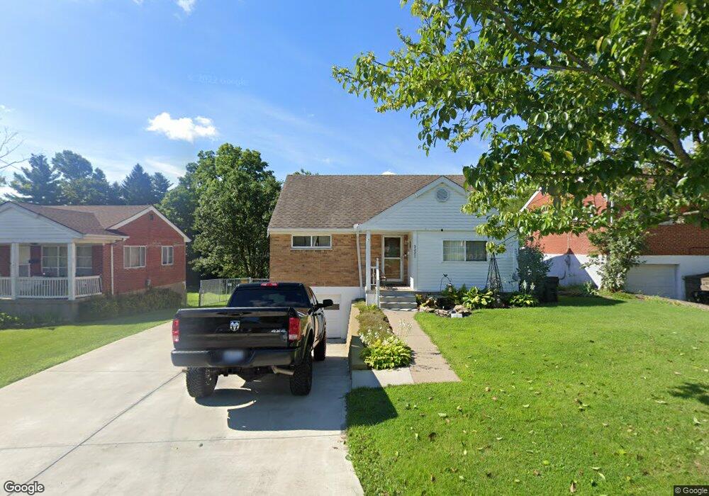
3321 Robinet Dr Cincinnati, OH 45238
Westwood NeighborhoodEstimated Value: $202,000 - $218,000
4
Beds
3
Baths
1,485
Sq Ft
$141/Sq Ft
Est. Value
About This Home
This home is located at 3321 Robinet Dr, Cincinnati, OH 45238 and is currently estimated at $209,144, approximately $140 per square foot. 3321 Robinet Dr is a home located in Hamilton County with nearby schools including Midway Elementary School, Western Hills High School, and Gilbert A. Dater High School.
Ownership History
Date
Name
Owned For
Owner Type
Purchase Details
Closed on
Sep 28, 2000
Sold by
Miller Jonathan B and Miller Rosanne D
Bought by
Estes Edward and Estes Katherine L
Current Estimated Value
Home Financials for this Owner
Home Financials are based on the most recent Mortgage that was taken out on this home.
Original Mortgage
$96,207
Outstanding Balance
$35,236
Interest Rate
7.98%
Mortgage Type
FHA
Estimated Equity
$173,908
Create a Home Valuation Report for This Property
The Home Valuation Report is an in-depth analysis detailing your home's value as well as a comparison with similar homes in the area
Home Values in the Area
Average Home Value in this Area
Purchase History
| Date | Buyer | Sale Price | Title Company |
|---|---|---|---|
| Estes Edward | $97,000 | Homestead Title Agency Inc |
Source: Public Records
Mortgage History
| Date | Status | Borrower | Loan Amount |
|---|---|---|---|
| Open | Estes Edward | $96,207 |
Source: Public Records
Tax History Compared to Growth
Tax History
| Year | Tax Paid | Tax Assessment Tax Assessment Total Assessment is a certain percentage of the fair market value that is determined by local assessors to be the total taxable value of land and additions on the property. | Land | Improvement |
|---|---|---|---|---|
| 2024 | $3,359 | $56,074 | $7,924 | $48,150 |
| 2023 | $3,435 | $56,074 | $7,924 | $48,150 |
| 2022 | $2,044 | $29,824 | $6,433 | $23,391 |
| 2021 | $1,963 | $29,824 | $6,433 | $23,391 |
| 2020 | $2,008 | $29,824 | $6,433 | $23,391 |
| 2019 | $2,008 | $27,112 | $5,849 | $21,263 |
| 2018 | $2,011 | $27,112 | $5,849 | $21,263 |
| 2017 | $1,910 | $27,112 | $5,849 | $21,263 |
| 2016 | $2,219 | $31,084 | $6,783 | $24,301 |
| 2015 | $2,001 | $31,084 | $6,783 | $24,301 |
| 2014 | $2,016 | $31,084 | $6,783 | $24,301 |
| 2013 | $2,135 | $32,379 | $7,067 | $25,312 |
Source: Public Records
Map
Nearby Homes
- 3291 Tulsa Ct
- 3373 Kathy Ln
- 2720 Anderson Ferry Rd
- 2197 Faywood Dr
- 2242 Fayhill Dr
- 2100 Faywood Dr
- 2710 Mountville Dr
- 3141 W Tower Ave
- 2113 Sylved Ln
- 1979 Faywood Dr
- 2231 Townhill Dr
- 5420 Fayridge Ct
- 5318 Sidney Rd
- 3212 Vittmer Ave
- 5276 Ponce Ln
- 3167 Westbrook Dr
- 5252 Relluk Dr
- 2925 Boudinot Ave
- 3531 Werk Rd
- 3088 Queen City Ave
- 3325 Robinet Dr
- 3317 Robinet Dr
- 3331 Robinet Dr
- 2591 Anderson Ferry Rd
- 3335 Robinet Dr
- 2595 Anderson Ferry Rd
- 2587 Anderson Ferry Rd
- 3320 Robinet Dr
- 3324 Robinet Dr
- 3316 Robinet Dr
- 2553 Anderson Ferry Rd
- 3339 Robinet Dr
- 3328 Robinet Dr
- 2603 Anderson Ferry Rd
- 3332 Robinet Dr
- 3343 Robinet Dr
- 3336 Robinet Dr
- 3340 Robinet Dr
- 2650 Foran Dr
- 3347 Robinet Dr