33222 S Kropf Rd Molalla, OR 97038
Estimated Value: $1,240,000 - $1,446,000
4
Beds
2
Baths
4,518
Sq Ft
$291/Sq Ft
Est. Value
About This Home
This home is located at 33222 S Kropf Rd, Molalla, OR 97038 and is currently estimated at $1,315,555, approximately $291 per square foot. 33222 S Kropf Rd is a home located in Clackamas County.
Ownership History
Date
Name
Owned For
Owner Type
Purchase Details
Closed on
Mar 20, 2012
Sold by
Wrolstad Mary
Bought by
Wilson David J and Wilson Lorin A
Current Estimated Value
Home Financials for this Owner
Home Financials are based on the most recent Mortgage that was taken out on this home.
Original Mortgage
$150,000
Outstanding Balance
$102,519
Interest Rate
3.84%
Mortgage Type
New Conventional
Estimated Equity
$1,213,036
Purchase Details
Closed on
Jun 24, 1997
Sold by
Wrolstad Ronald Earl and Wrolstad Thomas Dean
Bought by
Wrolstad Thomas Dean
Create a Home Valuation Report for This Property
The Home Valuation Report is an in-depth analysis detailing your home's value as well as a comparison with similar homes in the area
Home Values in the Area
Average Home Value in this Area
Purchase History
| Date | Buyer | Sale Price | Title Company |
|---|---|---|---|
| Wilson David J | $470,300 | Ticor Title | |
| Wrolstad Thomas Dean | -- | -- |
Source: Public Records
Mortgage History
| Date | Status | Borrower | Loan Amount |
|---|---|---|---|
| Open | Wilson David J | $150,000 |
Source: Public Records
Tax History Compared to Growth
Tax History
| Year | Tax Paid | Tax Assessment Tax Assessment Total Assessment is a certain percentage of the fair market value that is determined by local assessors to be the total taxable value of land and additions on the property. | Land | Improvement |
|---|---|---|---|---|
| 2025 | $4,103 | $321,881 | -- | -- |
| 2024 | $3,993 | $312,647 | -- | -- |
| 2023 | $3,993 | $303,686 | $0 | $0 |
| 2022 | $3,165 | $294,989 | $0 | $0 |
| 2021 | $3,018 | $286,525 | $0 | $0 |
| 2020 | $2,936 | $278,312 | $0 | $0 |
| 2019 | $2,851 | $270,343 | $0 | $0 |
| 2018 | $2,773 | $262,587 | $0 | $0 |
| 2017 | $2,694 | $255,063 | $0 | $0 |
| 2016 | $2,520 | $247,790 | $0 | $0 |
| 2015 | $2,448 | $240,687 | $0 | $0 |
| 2014 | $2,370 | $233,823 | $0 | $0 |
Source: Public Records
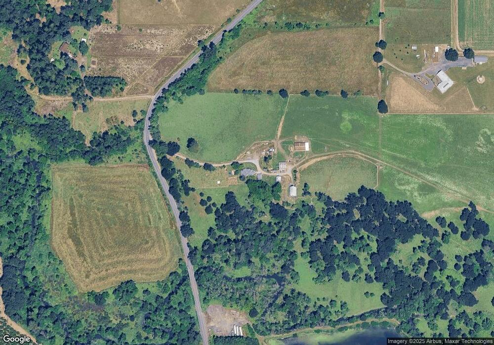
Map
Nearby Homes
- 30700 S Highway 170
- 10285 S Rosewood Way
- 36175 S Highway 213
- 35267 S Acer Ln
- 30413 S Stuwe Rd
- 30593 S Elisha Rd
- 15145 Woodburn Monitor Rd NE
- 31514 S Bear Meadow Ct
- 29474 S Highway 170
- 6150 S Miller Rd
- 9924 S Wildcat Rd
- 14604 Woodburn Monitor Rd NE
- 37658 S Highway 213
- 31430 Oregon 213
- 37486 S Highway 213 (Adj To)
- 37486 S Hwy 213 (Adj To)
- 1522 W Main St
- 1406 W Main St
- 33953 Oregon 213
- 1014 S View Dr
- 33187 S Kropf Rd
- 33003 S Kropf Rd
- 32991 S Kropf Rd
- 32991 S Kropf Rd
- 33002 S Kropf Rd
- 32914 S Kropf Rd
- 32921 S Kropf Rd
- 32893 S Kropf Rd Unit RD
- 32773 S Kropf Rd
- 32822 S Kropf Rd
- 32769 S Kropf Rd
- 33916 S Kropf Rd
- 32612 S Kropf Rd
- 33186 S Needy Rd
- 33026 S Needy Rd
- 33244 S Needy Rd
- 9096 S Schneider Rd
- 8600 S Schneider Rd
- 8950 S Schneider Rd
- 32982 S Needy Rd