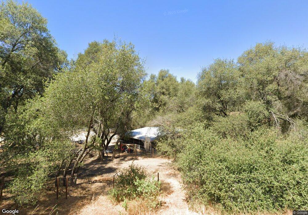
33232 Highway 41 Coarsegold, CA 93614
Estimated Value: $466,360 - $562,000
4
Beds
3
Baths
2,152
Sq Ft
$237/Sq Ft
Est. Value
About This Home
This home is located at 33232 Highway 41, Coarsegold, CA 93614 and is currently estimated at $510,340, approximately $237 per square foot. 33232 Highway 41 is a home located in Madera County.
Ownership History
Date
Name
Owned For
Owner Type
Purchase Details
Closed on
Nov 25, 2002
Sold by
Catania Salvatore Anthony
Bought by
Catania Deborah M
Current Estimated Value
Home Financials for this Owner
Home Financials are based on the most recent Mortgage that was taken out on this home.
Original Mortgage
$33,000
Interest Rate
6.06%
Purchase Details
Closed on
Oct 24, 2002
Sold by
Jemison Donna
Bought by
Catania Deborah M
Home Financials for this Owner
Home Financials are based on the most recent Mortgage that was taken out on this home.
Original Mortgage
$33,000
Interest Rate
6.06%
Create a Home Valuation Report for This Property
The Home Valuation Report is an in-depth analysis detailing your home's value as well as a comparison with similar homes in the area
Home Values in the Area
Average Home Value in this Area
Purchase History
| Date | Buyer | Sale Price | Title Company |
|---|---|---|---|
| Catania Deborah M | -- | Fidelity | |
| Catania Deborah M | $30,000 | Fidelity |
Source: Public Records
Mortgage History
| Date | Status | Borrower | Loan Amount |
|---|---|---|---|
| Previous Owner | Catania Deborah M | $33,000 |
Source: Public Records
Tax History Compared to Growth
Tax History
| Year | Tax Paid | Tax Assessment Tax Assessment Total Assessment is a certain percentage of the fair market value that is determined by local assessors to be the total taxable value of land and additions on the property. | Land | Improvement |
|---|---|---|---|---|
| 2025 | $3,089 | $315,891 | $42,586 | $273,305 |
| 2023 | $3,089 | $303,627 | $40,933 | $262,694 |
| 2022 | $3,016 | $297,675 | $40,131 | $257,544 |
| 2021 | $2,952 | $291,840 | $39,345 | $252,495 |
| 2020 | $2,940 | $288,848 | $38,942 | $249,906 |
| 2019 | $2,885 | $283,185 | $38,179 | $245,006 |
| 2018 | $2,744 | $270,426 | $30,736 | $239,690 |
| 2017 | $2,409 | $237,215 | $26,961 | $210,254 |
| 2016 | $2,301 | $230,306 | $26,176 | $204,130 |
| 2015 | $1,991 | $200,266 | $22,762 | $177,504 |
| 2014 | $1,830 | $183,731 | $20,883 | $162,848 |
Source: Public Records
Map
Nearby Homes
- 46320 Oonay Nation Rd
- 46103 Safari World Dr
- 45740 Green Lake Ct
- 46304 Skyline Ridge Rd
- 33067 Blue Vista Ct
- 46828 Skyline Ridge Rd
- 0 Stone Ridge Ln
- 33867 Jennifer Ct
- 234 Jennifer Way
- 123 Jennifer Way
- 54544 Sunshine Terrace Dr
- 0 Sunshine Terrace Dr Unit FR24180116
- 32157 Navajo Ct
- 0 Chickasaw Rd
- 47207 Navajo Ave
- 32413 Chickasaw Rd
- 47165 Modoc Rd
- 47384 Veater Ranch Rd
- 32791 Road 416
- 0 Veater Ranch Rd
- 33180 Highway 41
- 33354 Granite Dell Ct
- 33270 Granite Dell Ct
- 33266 Granite Dell Ct Unit 2
- 33266 Granite Dell Ct
- 33233 Creek Ranch Rd
- 46004 Spring Trail
- 46221 Paloma Rd
- 46166 Paloma Rd
- 46057 Black Oak Rd
- 33279 Highway 41
- 46065 Spring Trail
- 46096 Spring Trail
- 0 Palmona Rd Unit 200349
- 33337 Gold Nugget Ct
- 45991 Black Oak Rd
- 33347 Highway 41
- 46031 Spring Trail
- 33347 Gold Nugget Ct
- 45985 Spring Trail
