3327 Marston Rd Westminster, MD 21157
Estimated Value: $485,000 - $572,000
Studio
2
Baths
1,680
Sq Ft
$310/Sq Ft
Est. Value
About This Home
This home is located at 3327 Marston Rd, Westminster, MD 21157 and is currently estimated at $521,031, approximately $310 per square foot. 3327 Marston Rd is a home located in Carroll County with nearby schools including Winfield Elementary School, Mount Airy Middle School, and South Carroll High School.
Ownership History
Date
Name
Owned For
Owner Type
Purchase Details
Closed on
Dec 29, 1987
Sold by
Jca Investments Inc
Bought by
Bly Wendall N and Bly Danita
Current Estimated Value
Home Financials for this Owner
Home Financials are based on the most recent Mortgage that was taken out on this home.
Original Mortgage
$79,200
Interest Rate
10.64%
Purchase Details
Closed on
Sep 18, 1987
Sold by
Franklin Linda Lee
Bought by
Jca Investments Inc
Create a Home Valuation Report for This Property
The Home Valuation Report is an in-depth analysis detailing your home's value as well as a comparison with similar homes in the area
Purchase History
| Date | Buyer | Sale Price | Title Company |
|---|---|---|---|
| Bly Wendall N | $99,000 | -- | |
| Jca Investments Inc | $96,000 | -- |
Source: Public Records
Mortgage History
| Date | Status | Borrower | Loan Amount |
|---|---|---|---|
| Closed | Bly Wendall N | $79,200 |
Source: Public Records
Tax History
| Year | Tax Paid | Tax Assessment Tax Assessment Total Assessment is a certain percentage of the fair market value that is determined by local assessors to be the total taxable value of land and additions on the property. | Land | Improvement |
|---|---|---|---|---|
| 2025 | $4,614 | $406,667 | $0 | $0 |
| 2024 | $4,222 | $371,700 | $182,000 | $189,700 |
| 2023 | $4,088 | $359,700 | $0 | $0 |
| 2022 | $3,954 | $347,700 | $0 | $0 |
| 2021 | $7,827 | $335,700 | $142,000 | $193,700 |
| 2020 | $3,685 | $323,733 | $0 | $0 |
| 2019 | $3,583 | $311,767 | $0 | $0 |
| 2018 | $3,417 | $299,800 | $142,000 | $157,800 |
| 2017 | $3,252 | $285,033 | $0 | $0 |
| 2016 | -- | $270,267 | $0 | $0 |
| 2015 | -- | $255,500 | $0 | $0 |
| 2014 | -- | $255,500 | $0 | $0 |
Source: Public Records
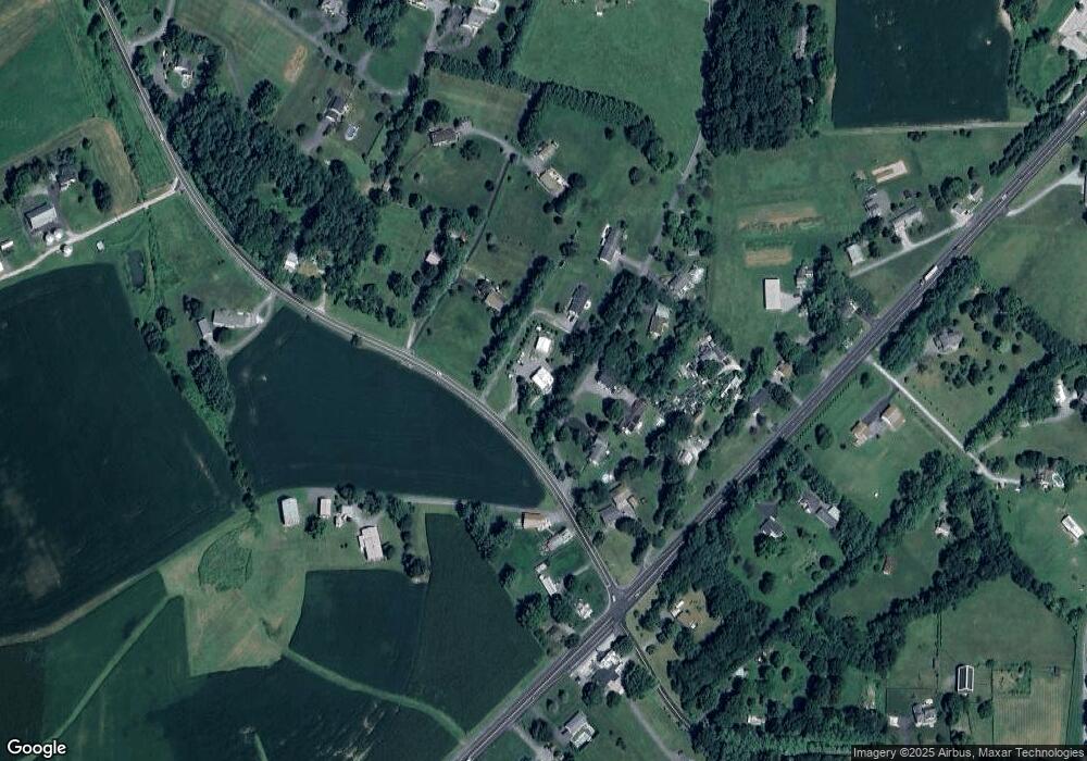
Map
Nearby Homes
- Lot 15 Westview Dr
- 3026 Marston Rd
- 2900 Marston Rd
- 3011 Glenvue Dr
- 3174 Cardinal Dr
- PARCEL 198 Dennings Rd
- 1211 Bloom Rd
- 1658 Sams Creek Rd
- 3007 Merle Ct
- 2514 W Liberty Rd
- 2613 Liberty Rd
- 4505 Gray Horse Dr
- 2315 Sandel Ln
- 4328 Ridge Rd Unit 13
- Parcel # 22 Sams Creek Rd
- 0 Bowersox Rd
- 970 Oak Tree Rd
- 0 Bear Branch Rd
- 4525 Roop Rd
- 3895 Buffalo Rd
- 3341 Marston Rd
- 3325 Marston Rd
- 3321 Marston Rd
- 3343 Marston Rd
- 3339 Marston Rd
- 3333 Marston Rd
- 3350 Ridge Rd
- 3301 Marston Rd
- 3342 Marston Rd
- 3352 Ridge Rd
- 3345 Marston Rd
- 3337 Marston Rd
- 3313 Marston Rd
- 3406 Ridge Rd
- 3322 Ridge Rd
- 3402 Ridge Rd
- 3338 Marston Rd
- 3320 Ridge Rd
- 3307 Marston Rd
- 3312 Ridge Rd
Your Personal Tour Guide
Ask me questions while you tour the home.