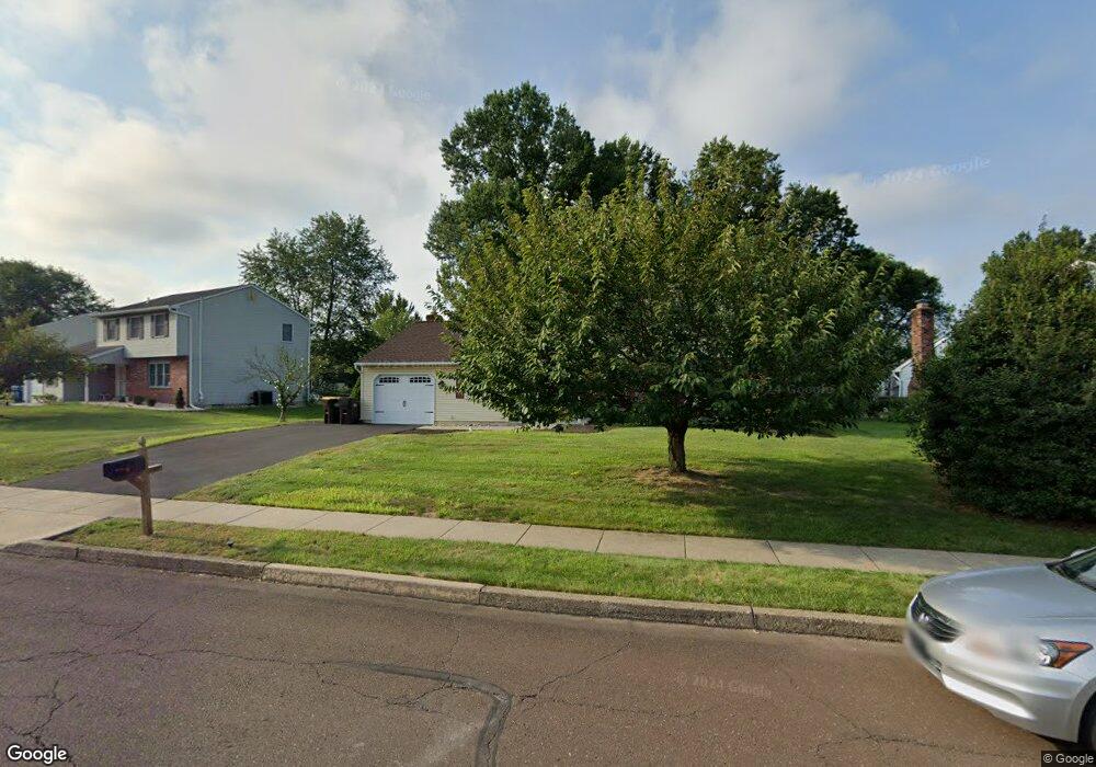
3327 Roxbury Rd Hatfield, PA 19440
Estimated Value: $533,000 - $619,000
3
Beds
3
Baths
2,040
Sq Ft
$281/Sq Ft
Est. Value
About This Home
This home is located at 3327 Roxbury Rd, Hatfield, PA 19440 and is currently estimated at $573,458, approximately $281 per square foot. 3327 Roxbury Rd is a home located in Montgomery County with nearby schools including A. M. Kulp Elementary School, Pennfield Middle School, and North Penn Senior High School.
Ownership History
Date
Name
Owned For
Owner Type
Purchase Details
Closed on
Jun 15, 2005
Sold by
Guadagnino Steven C and Guadagnino Cristy L
Bought by
Mastro Vicki A
Current Estimated Value
Home Financials for this Owner
Home Financials are based on the most recent Mortgage that was taken out on this home.
Original Mortgage
$240,000
Outstanding Balance
$125,052
Interest Rate
5.73%
Mortgage Type
New Conventional
Estimated Equity
$448,406
Purchase Details
Closed on
Jun 21, 2002
Sold by
Rieco Andrew D and Rieco Wendy C
Bought by
Guadagnino Steven C and Guadagnino Cristy L
Purchase Details
Closed on
Jul 30, 1999
Sold by
Kramer Mark W and Kramer Catherine M
Bought by
Rieco Andrew D and Rieco Wendy C
Create a Home Valuation Report for This Property
The Home Valuation Report is an in-depth analysis detailing your home's value as well as a comparison with similar homes in the area
Home Values in the Area
Average Home Value in this Area
Purchase History
| Date | Buyer | Sale Price | Title Company |
|---|---|---|---|
| Mastro Vicki A | $326,000 | -- | |
| Guadagnino Steven C | $224,900 | -- | |
| Rieco Andrew D | $183,000 | -- |
Source: Public Records
Mortgage History
| Date | Status | Borrower | Loan Amount |
|---|---|---|---|
| Open | Mastro Vicki A | $240,000 |
Source: Public Records
Tax History Compared to Growth
Tax History
| Year | Tax Paid | Tax Assessment Tax Assessment Total Assessment is a certain percentage of the fair market value that is determined by local assessors to be the total taxable value of land and additions on the property. | Land | Improvement |
|---|---|---|---|---|
| 2025 | $6,112 | $152,640 | $42,700 | $109,940 |
| 2024 | $6,112 | $152,640 | $42,700 | $109,940 |
| 2023 | $5,850 | $152,640 | $42,700 | $109,940 |
| 2022 | $5,659 | $152,640 | $42,700 | $109,940 |
| 2021 | $5,498 | $152,640 | $42,700 | $109,940 |
| 2020 | $5,368 | $152,640 | $42,700 | $109,940 |
| 2019 | $5,278 | $152,640 | $42,700 | $109,940 |
| 2018 | $5,279 | $152,640 | $42,700 | $109,940 |
| 2017 | $5,077 | $152,640 | $42,700 | $109,940 |
| 2016 | $5,017 | $152,640 | $42,700 | $109,940 |
| 2015 | $4,816 | $152,640 | $42,700 | $109,940 |
| 2014 | $4,816 | $152,640 | $42,700 | $109,940 |
Source: Public Records
Map
Nearby Homes
- 6 Township Line Rd
- 2674 Anthony Dr
- 0 Fairmount St
- 2317 E Orvilla Rd
- 165 Township Line Rd
- 2943 E Walnut St Unit 59
- 732 Cowpath Rd
- 83 Bethlehem Pike Unit 1213 FIRESTONE
- 83 Bethlehem Pike Unit 1106- MADISON PLAN
- 36 N Maple Ave
- 303 Wynstone Ct
- 105 Barry Rd
- 1744 Lydia Dr
- 417 Wynstone Ct
- 1226 Cabin Rd
- 1306 W Orvilla Rd
- 3 Diamond St
- 105 S Main St
- 138 Diamond St Unit 31
- 000 Lenape Dr
- 3303 Roxbury Rd
- 3351 Roxbury Rd
- 3283 Roxbury Rd
- 3375 Roxbury Rd
- 3277 Roxbury Rd
- 3318 Roxbury Rd
- 1498 Needham Cir
- 3314 Roxbury Rd
- 3310 Roxbury Rd
- 3306 Roxbury Rd
- 1494 Needham Cir
- 0 Needham Cir
- 1206 Needham Cir
- 1149 Independence Way
- 1490 Needham Cir
- 3257 Roxbury Rd
- 3399 Roxbury Rd
- 1203 Independence Way
- 1486 Needham Cir
- 1210 Needham Cir