333 Beavertail Rd Jamestown, RI 02835
Beavertail NeighborhoodEstimated Value: $5,693,000 - $13,508,418
6
Beds
8
Baths
7,366
Sq Ft
$1,303/Sq Ft
Est. Value
About This Home
This home is located at 333 Beavertail Rd, Jamestown, RI 02835 and is currently estimated at $9,600,709, approximately $1,303 per square foot. 333 Beavertail Rd is a home located in Newport County with nearby schools including Melrose Avenue School and Lawn Avenue School.
Ownership History
Date
Name
Owned For
Owner Type
Purchase Details
Closed on
Feb 24, 2014
Sold by
Marvel-Garnett Jane
Bought by
Beavertail Family Hldg
Current Estimated Value
Purchase Details
Closed on
Oct 8, 1999
Sold by
Beaver Body Corp
Bought by
Cannon Connel C and Cannon Kathleen
Create a Home Valuation Report for This Property
The Home Valuation Report is an in-depth analysis detailing your home's value as well as a comparison with similar homes in the area
Home Values in the Area
Average Home Value in this Area
Purchase History
| Date | Buyer | Sale Price | Title Company |
|---|---|---|---|
| Beavertail Family Hldg | -- | -- | |
| Cannon Connel C | $1,600,000 | -- |
Source: Public Records
Mortgage History
| Date | Status | Borrower | Loan Amount |
|---|---|---|---|
| Previous Owner | Cannon Connel C | $1,800,000 |
Source: Public Records
Tax History
| Year | Tax Paid | Tax Assessment Tax Assessment Total Assessment is a certain percentage of the fair market value that is determined by local assessors to be the total taxable value of land and additions on the property. | Land | Improvement |
|---|---|---|---|---|
| 2025 | $57,780 | $10,244,712 | $7,246,912 | $2,997,800 |
| 2024 | $59,494 | $8,297,647 | $6,215,647 | $2,082,000 |
| 2023 | $58,227 | $8,342,047 | $6,215,647 | $2,126,400 |
| 2022 | $56,642 | $8,342,047 | $6,215,647 | $2,126,400 |
| 2021 | $41,508 | $5,013,000 | $3,492,400 | $1,520,600 |
| 2020 | $40,455 | $5,013,000 | $3,492,400 | $1,520,600 |
| 2019 | $40,355 | $5,013,000 | $3,492,400 | $1,520,600 |
| 2018 | $40,265 | $4,549,700 | $2,992,600 | $1,557,100 |
| 2017 | $39,400 | $4,549,700 | $2,992,600 | $1,557,100 |
| 2016 | $39,036 | $4,549,700 | $2,992,600 | $1,557,100 |
| 2015 | $39,949 | $4,550,000 | $3,010,600 | $1,539,400 |
| 2014 | $43,690 | $4,993,100 | $3,453,700 | $1,539,400 |
Source: Public Records
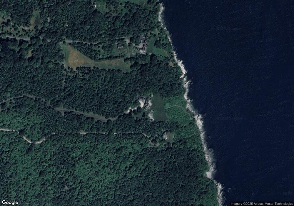
Map
Nearby Homes
- 21 Bonnet View Dr
- 30 Bonnet View Dr
- 104 Howland Ave
- 30 Walcott Ave
- 22 Cole St
- 39 Walcott Ave
- 22 Southwest Ave
- 24 Southwest Ave
- 41 Walcott Ave
- 65 Ridge Rd Unit T11/W38
- 65 Ridge Rd Unit G29/W24
- 65 Ridge Rd Unit P37
- 65 Ridge Rd Unit T21/W23
- 0 Walcott Ave
- 77 Narragansett Ave Unit C
- 14 Clinton Ave
- 78 Narragansett Ave
- 30 W Bay View Dr
- 41 Castle Hill Ave
- 48 Ocean Ave
- 343 Beavertail Rd
- 277 Beavertail Rd
- 255 Beavertail Rd
- 243 Beavertail Rd
- 298 Beavertail Rd
- 320 Beavertail Rd
- 340 Beavertail Rd
- 304 Beavertail Rd
- 282 Beavertail Rd
- 2 Bayberry Rd
- 231 Beavertail Rd
- 370 Beavertail Rd
- 3 Bayberry Rd
- 240 Beavertail Rd
- 360 Beavertail Rd
- 8 Bayberry Rd
- 7 Bayberry Rd
- 3 Whale Rock Rd
- 12 Bonnet View Dr
- 215 Beavertail Rd
Your Personal Tour Guide
Ask me questions while you tour the home.