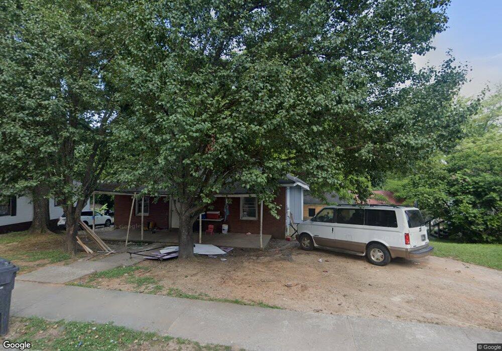
333 Birch St Canton, GA 30114
Estimated Value: $184,000 - $253,000
2
Beds
1
Bath
1,120
Sq Ft
$200/Sq Ft
Est. Value
About This Home
This home is located at 333 Birch St, Canton, GA 30114 and is currently estimated at $224,069, approximately $200 per square foot. 333 Birch St is a home located in Cherokee County with nearby schools including R. M. Moore Elementary School, Teasley Middle School, and Cherokee High School.
Ownership History
Date
Name
Owned For
Owner Type
Purchase Details
Closed on
Jun 29, 2021
Sold by
Ie Ventures Llc
Bought by
Lopez Aurelio Temaj and Vasquez Rosana Martina
Current Estimated Value
Purchase Details
Closed on
Dec 15, 2004
Sold by
Gazaway Kathleen H
Bought by
Izaguirre Carlos
Home Financials for this Owner
Home Financials are based on the most recent Mortgage that was taken out on this home.
Original Mortgage
$73,350
Interest Rate
5.67%
Create a Home Valuation Report for This Property
The Home Valuation Report is an in-depth analysis detailing your home's value as well as a comparison with similar homes in the area
Home Values in the Area
Average Home Value in this Area
Purchase History
| Date | Buyer | Sale Price | Title Company |
|---|---|---|---|
| Lopez Aurelio Temaj | $120,000 | -- | |
| Izaguirre Carlos | $81,500 | -- |
Source: Public Records
Mortgage History
| Date | Status | Borrower | Loan Amount |
|---|---|---|---|
| Previous Owner | Izaguirre Carlos | $73,350 |
Source: Public Records
Tax History
| Year | Tax Paid | Tax Assessment Tax Assessment Total Assessment is a certain percentage of the fair market value that is determined by local assessors to be the total taxable value of land and additions on the property. | Land | Improvement |
|---|---|---|---|---|
| 2025 | $2,457 | $85,400 | $18,400 | $67,000 |
| 2024 | $2,196 | $76,720 | $16,000 | $60,720 |
| 2023 | $2,096 | $73,240 | $14,000 | $59,240 |
| 2022 | $1,378 | $48,000 | $12,130 | $35,870 |
| 2021 | $1,256 | $41,200 | $10,800 | $30,400 |
| 2020 | $1,218 | $39,920 | $10,800 | $29,120 |
| 2019 | $1,024 | $33,520 | $9,600 | $23,920 |
| 2018 | $807 | $26,280 | $7,200 | $19,080 |
| 2017 | $633 | $65,600 | $7,200 | $19,040 |
| 2016 | $633 | $61,500 | $7,200 | $17,400 |
| 2015 | $548 | $52,800 | $6,000 | $15,120 |
| 2014 | $396 | $30,700 | $4,800 | $7,480 |
Source: Public Records
Map
Nearby Homes
- 140 Juniper St
- 234 Riverstone Place
- 257 Riverstone Place Unit 55
- 248 Riverstone Place
- 260 Riverstone Place
- 100 Daisy Cir
- 70 Daisy Cir
- 80 Daisy Cir
- 560 Waleska Rd
- 550 Waleska Rd
- 212 Riverstone Commons Cir
- Lot2&3 Georgia 140
- 6 Lots Riverstone Commons Cir
- 235 Riverstone Commons Cir
- 284 Shoal Creek Rd
- 105 Mashburn Place
- 122 Mashburn Place
- - Bluffs Pkwy
- 1028 Whispering Woods Dr
- 791 Waleska Rd
Your Personal Tour Guide
Ask me questions while you tour the home.