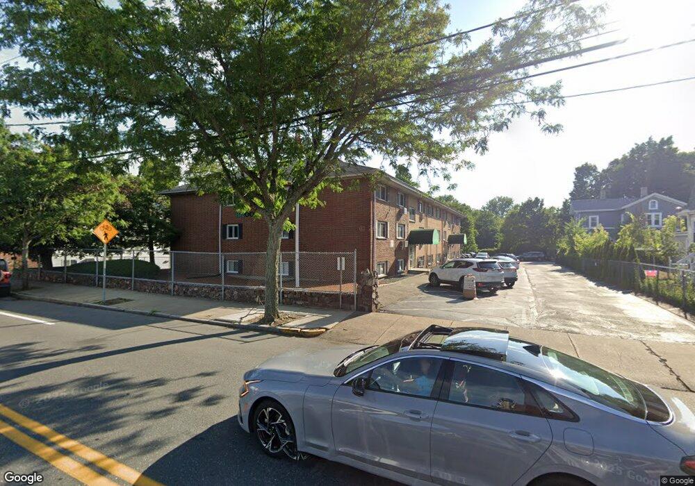
333 Central St Unit 2H Saugus, MA 01906
Downtown Saugus NeighborhoodEstimated Value: $269,000 - $330,000
2
Beds
1
Bath
700
Sq Ft
$448/Sq Ft
Est. Value
About This Home
This home is located at 333 Central St Unit 2H, Saugus, MA 01906 and is currently estimated at $313,492, approximately $447 per square foot. 333 Central St Unit 2H is a home located in Essex County with nearby schools including Saugus High School, Pioneer Charter School Of Science II, and Sacred Heart School.
Ownership History
Date
Name
Owned For
Owner Type
Purchase Details
Closed on
Dec 29, 1993
Sold by
Fdic
Bought by
Vellante Patricia
Current Estimated Value
Home Financials for this Owner
Home Financials are based on the most recent Mortgage that was taken out on this home.
Original Mortgage
$36,800
Interest Rate
7%
Mortgage Type
Purchase Money Mortgage
Purchase Details
Closed on
Apr 7, 1992
Sold by
Oneil Joseph H
Bought by
National City Mtg
Create a Home Valuation Report for This Property
The Home Valuation Report is an in-depth analysis detailing your home's value as well as a comparison with similar homes in the area
Home Values in the Area
Average Home Value in this Area
Purchase History
| Date | Buyer | Sale Price | Title Company |
|---|---|---|---|
| Vellante Patricia | $46,000 | -- | |
| National City Mtg | $108,390 | -- |
Source: Public Records
Mortgage History
| Date | Status | Borrower | Loan Amount |
|---|---|---|---|
| Open | National City Mtg | $34,000 | |
| Closed | National City Mtg | $25,000 | |
| Closed | National City Mtg | $36,800 | |
| Previous Owner | National City Mtg | $30,000 |
Source: Public Records
Tax History
| Year | Tax Paid | Tax Assessment Tax Assessment Total Assessment is a certain percentage of the fair market value that is determined by local assessors to be the total taxable value of land and additions on the property. | Land | Improvement |
|---|---|---|---|---|
| 2025 | $3,035 | $284,200 | $0 | $284,200 |
| 2024 | $2,876 | $270,000 | $0 | $270,000 |
| 2023 | $2,982 | $264,800 | $0 | $264,800 |
| 2022 | $2,922 | $243,300 | $0 | $243,300 |
| 2021 | $2,421 | $196,200 | $0 | $196,200 |
| 2020 | $2,088 | $175,200 | $0 | $175,200 |
| 2019 | $2,013 | $165,300 | $0 | $165,300 |
| 2018 | $1,737 | $150,000 | $0 | $150,000 |
| 2017 | $1,716 | $142,400 | $0 | $142,400 |
| 2016 | $1,864 | $152,800 | $0 | $152,800 |
| 2015 | $1,837 | $152,800 | $0 | $152,800 |
| 2014 | $1,774 | $152,800 | $0 | $152,800 |
Source: Public Records
Map
Nearby Homes
- 333 Central St Unit 3H
- 333 Central St Unit 3G
- 333 Central St Unit 3F
- 333 Central St Unit 3E
- 333 Central St Unit 3D
- 333 Central St Unit 3C
- 333 Central St Unit 3B
- 333 Central St Unit 3A
- 333 Central St Unit 2G
- 333 Central St Unit 2F
- 333 Central St Unit 2E
- 333 Central St Unit 2D
- 333 Central St Unit 2C
- 333 Central St Unit 2B
- 333 Central St Unit 2A
- 333 Central St Unit 1H
- 333 Central St Unit 1G
- 333 Central St Unit 1F
- 333 Central St Unit 1E
- 333 Central St Unit 1D
Your Personal Tour Guide
Ask me questions while you tour the home.