333 Lakeshore Pointe Dr Unit 161 Howell, MI 48843
Estimated Value: $435,000 - $534,000
3
Beds
2
Baths
1,822
Sq Ft
$257/Sq Ft
Est. Value
About This Home
This home is located at 333 Lakeshore Pointe Dr Unit 161, Howell, MI 48843 and is currently estimated at $468,433, approximately $257 per square foot. 333 Lakeshore Pointe Dr Unit 161 is a home located in Livingston County with nearby schools including Northwest Elementary School, Highlander Way Middle School, and Howell High School.
Ownership History
Date
Name
Owned For
Owner Type
Purchase Details
Closed on
May 22, 2024
Sold by
Ringley Mary Ann
Bought by
Ringley Mary Ann and Isom Barbara J
Current Estimated Value
Purchase Details
Closed on
Sep 4, 2019
Sold by
Ringley Mary A
Bought by
Rigley Mary A
Purchase Details
Closed on
Mar 11, 2011
Sold by
Ringley Mary Ann
Bought by
Ringley Mary Ann and Isom Barbara J
Purchase Details
Closed on
Dec 21, 1999
Sold by
Delcor Homes Lakeshore Pointe Ltd
Bought by
Ringley Mary Ann
Create a Home Valuation Report for This Property
The Home Valuation Report is an in-depth analysis detailing your home's value as well as a comparison with similar homes in the area
Home Values in the Area
Average Home Value in this Area
Purchase History
| Date | Buyer | Sale Price | Title Company |
|---|---|---|---|
| Ringley Mary Ann | -- | None Listed On Document | |
| Rigley Mary A | -- | -- | |
| Ringley Mary Ann | -- | -- | |
| Ringley Mary Ann | $67,225 | Metropolitan Title Company |
Source: Public Records
Tax History Compared to Growth
Tax History
| Year | Tax Paid | Tax Assessment Tax Assessment Total Assessment is a certain percentage of the fair market value that is determined by local assessors to be the total taxable value of land and additions on the property. | Land | Improvement |
|---|---|---|---|---|
| 2025 | $3,952 | $249,800 | $0 | $0 |
| 2024 | $2,534 | $237,500 | $0 | $0 |
| 2023 | $2,420 | $206,300 | $0 | $0 |
| 2022 | $1,180 | $180,000 | $0 | $0 |
| 2021 | $3,359 | $189,600 | $0 | $0 |
| 2020 | $3,394 | $180,000 | $0 | $0 |
| 2019 | $3,349 | $179,400 | $0 | $0 |
| 2018 | $3,360 | $188,900 | $0 | $0 |
| 2017 | $3,320 | $187,800 | $0 | $0 |
| 2016 | $3,299 | $184,400 | $0 | $0 |
| 2014 | $3,447 | $151,100 | $0 | $0 |
| 2012 | $3,447 | $126,100 | $0 | $0 |
Source: Public Records
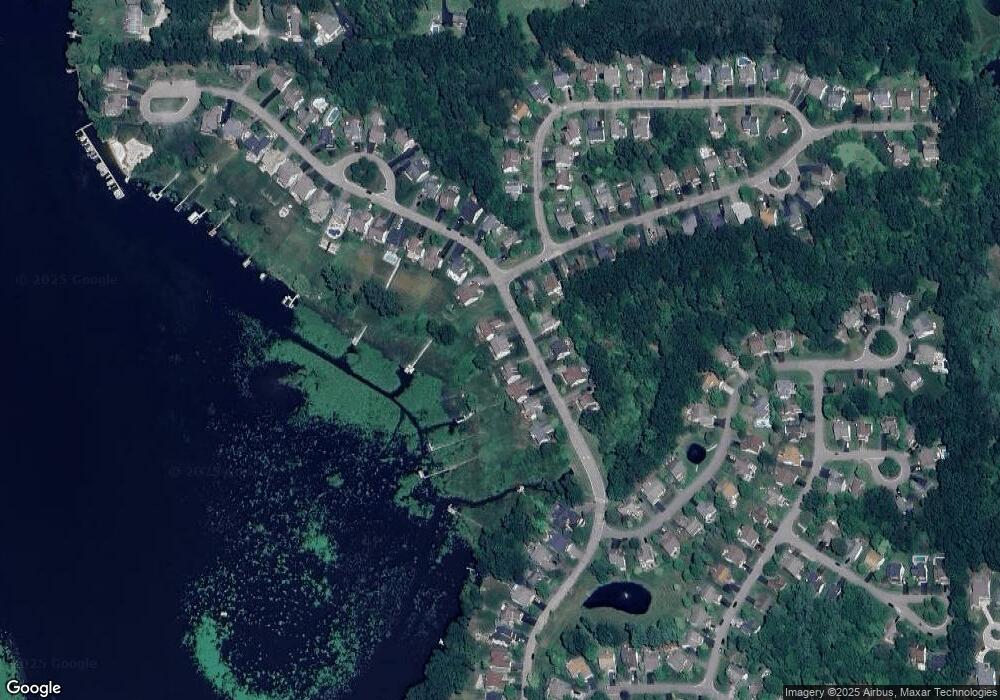
Map
Nearby Homes
- 928 Westwind Shore Dr
- 477 Chicago Dr
- 330 Harvard Dr
- Vac Harvard Dr
- 3020 Brookline
- 1088 River Line Dr Unit 324
- VACANT LOT Thompson Shore Dr
- 125 University Dr
- 2160 E Grand River Ave
- 2607 E Grand River Ave
- 100 Lucy Rd
- 2756 Turning Leaf Dr
- 1471 Douglas Fir Ct
- 734 E Grand River Ave
- 1633 Frech Ln
- 709 E Clinton St
- 315 N Barnard St
- 816 Nelsons Ridge Dr
- 2511 Kerria Dr Unit 42
- 419 N State St
- 341 Lakeshore Pointe Dr
- 325 Lakeshore Pointe Dr
- 349 Lakeshore Pointe Dr Unit 163
- 317 Lakeshore Pointe Dr
- 336 Lakeshore Pointe Dr Unit 156
- 326 Lakeshore Pointe Dr
- 2500 Ravineside Ln N
- 357 Lakeshore Pointe Dr
- 309 Lakeshore Pointe Dr Unit 158
- 312 Lakeshore Pointe Dr Unit 154
- 2508 Ravineside Ln N Unit 247
- 365 Lakeshore Pointe Dr Unit 165
- 301 Lakeshore Pointe Dr Unit 157
- 304 Lakeshore Pointe Dr
- 360 Lakeshore Pointe Dr Unit 193
- 2516 Ravineside Ln N
- 373 Lakeshore Pointe Dr
- 381 Lakeshore Pointe Dr
- 366 Lakeshore Pointe Dr Unit 192
- 2524 Ravineside Ln N