333 Left Fork Rd Boulder, CO 80302
Mountain Meadows NeighborhoodEstimated Value: $616,000 - $838,000
1
Bed
2
Baths
330
Sq Ft
$2,127/Sq Ft
Est. Value
About This Home
This home is located at 333 Left Fork Rd, Boulder, CO 80302 and is currently estimated at $702,007, approximately $2,127 per square foot. 333 Left Fork Rd is a home located in Boulder County with nearby schools including Flatirons Elementary School, Casey Middle School, and Boulder High School.
Ownership History
Date
Name
Owned For
Owner Type
Purchase Details
Closed on
May 25, 2012
Sold by
Smith Michael R and Smith Frances A
Bought by
Wyatt Robert
Current Estimated Value
Home Financials for this Owner
Home Financials are based on the most recent Mortgage that was taken out on this home.
Original Mortgage
$120,000
Interest Rate
3.9%
Mortgage Type
Seller Take Back
Purchase Details
Closed on
Jul 30, 1987
Bought by
Wyatt Robert
Purchase Details
Closed on
Jun 27, 1985
Bought by
Wyatt Robert
Purchase Details
Closed on
May 25, 1983
Bought by
Wyatt Robert
Purchase Details
Closed on
Feb 23, 1983
Bought by
Wyatt Robert
Create a Home Valuation Report for This Property
The Home Valuation Report is an in-depth analysis detailing your home's value as well as a comparison with similar homes in the area
Home Values in the Area
Average Home Value in this Area
Purchase History
| Date | Buyer | Sale Price | Title Company |
|---|---|---|---|
| Wyatt Robert | $220,000 | Heritage Title | |
| Wyatt Robert | $139,000 | -- | |
| Wyatt Robert | -- | -- | |
| Wyatt Robert | -- | -- | |
| Wyatt Robert | -- | -- |
Source: Public Records
Mortgage History
| Date | Status | Borrower | Loan Amount |
|---|---|---|---|
| Closed | Wyatt Robert | $120,000 |
Source: Public Records
Tax History
| Year | Tax Paid | Tax Assessment Tax Assessment Total Assessment is a certain percentage of the fair market value that is determined by local assessors to be the total taxable value of land and additions on the property. | Land | Improvement |
|---|---|---|---|---|
| 2025 | $3,038 | $34,944 | $22,144 | $12,800 |
| 2024 | $3,038 | $34,944 | $22,144 | $12,800 |
| 2023 | $2,984 | $35,611 | $21,715 | $17,581 |
| 2022 | $2,783 | $30,828 | $19,877 | $10,951 |
| 2021 | $2,638 | $31,714 | $20,449 | $11,265 |
| 2020 | $2,386 | $28,358 | $19,162 | $9,196 |
| 2019 | $2,348 | $28,358 | $19,162 | $9,196 |
| 2018 | $942 | $11,376 | $11,376 | $0 |
| 2017 | $914 | $12,577 | $12,577 | $0 |
| 2016 | $1,378 | $16,636 | $16,636 | $0 |
| 2015 | $1,299 | $16,636 | $16,636 | $0 |
| 2014 | $1,362 | $16,636 | $16,636 | $0 |
Source: Public Records
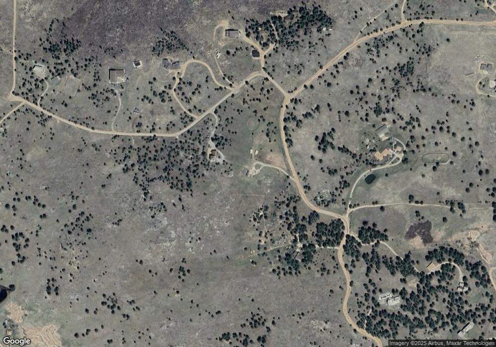
Map
Nearby Homes
- 136 Old Post Office Rd
- 208 Wild Tiger Rd
- 6055 Fourmile Canyon Dr
- 7893 Fourmile Canyon Dr
- 4324 Fourmile Canyon Dr
- 6122 Fourmile Canyon Dr
- 6112 Fourmile Canyon Dr
- 31 Wild Tiger Ln
- 730 Lost Angel Rd
- 300 Shining Star Trail
- 300 Shining Star Trail Unit A
- 718 Emerson Gulch Rd
- 00 County Rd 89 Unit 237
- 0 Good Friday Rd
- 310 Wendelyn Way
- 155 Millionaire Dr W
- 1000 Alaska Rd
- 149 Millionaire Dr W
- 61 Rim Rd
- 280 Rim Rd
- 115 Mountain King Rd
- 165 Mountain King Rd
- 215 Left Fork Rd
- 134 Mountain King Rd
- 252 Left Fork Rd
- 52 Mountain King Rd
- 42 Mountain King Rd
- 210 Mountain King Rd
- 357 Mountain King Rd
- 118 Left Fork Rd
- 224 Left Fork Rd
- 589 Left Fork Rd
- 531 Left Fork Rd
- 280 Mountain King Rd
- 728 Left Fork Rd
- 349 Mountain King Rd
- 47 Post Boy Rd
- 1392 Mountain Pines Rd
- 109 Post Boy Rd
- 695 Left Fork Rd
Your Personal Tour Guide
Ask me questions while you tour the home.