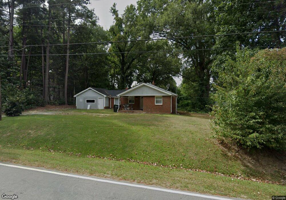
333 N Hoover Rd Durham, NC 27703
Eastern Durham NeighborhoodEstimated Value: $206,000 - $277,000
2
Beds
1
Bath
1,093
Sq Ft
$219/Sq Ft
Est. Value
About This Home
This home is located at 333 N Hoover Rd, Durham, NC 27703 and is currently estimated at $239,419, approximately $219 per square foot. 333 N Hoover Rd is a home located in Durham County with nearby schools including Merrick-Moore Elementary School, John W Neal Middle School, and Southern School of Energy & Sustainability.
Ownership History
Date
Name
Owned For
Owner Type
Purchase Details
Closed on
Mar 22, 2000
Sold by
Mccorkle Tommy J and Mccorkle Betsy S
Bought by
Mccorkle Tommy J
Current Estimated Value
Home Financials for this Owner
Home Financials are based on the most recent Mortgage that was taken out on this home.
Original Mortgage
$55,000
Interest Rate
8.37%
Create a Home Valuation Report for This Property
The Home Valuation Report is an in-depth analysis detailing your home's value as well as a comparison with similar homes in the area
Home Values in the Area
Average Home Value in this Area
Purchase History
| Date | Buyer | Sale Price | Title Company |
|---|---|---|---|
| Mccorkle Tommy J | $55,000 | -- |
Source: Public Records
Mortgage History
| Date | Status | Borrower | Loan Amount |
|---|---|---|---|
| Closed | Mccorkle Tommy J | $55,000 |
Source: Public Records
Tax History Compared to Growth
Tax History
| Year | Tax Paid | Tax Assessment Tax Assessment Total Assessment is a certain percentage of the fair market value that is determined by local assessors to be the total taxable value of land and additions on the property. | Land | Improvement |
|---|---|---|---|---|
| 2025 | $2,312 | $233,267 | $75,000 | $158,267 |
| 2024 | $1,421 | $101,887 | $18,537 | $83,350 |
| 2023 | $1,335 | $101,887 | $18,537 | $83,350 |
| 2022 | $1,304 | $101,887 | $18,537 | $83,350 |
| 2021 | $1,298 | $101,887 | $18,537 | $83,350 |
| 2020 | $1,267 | $101,887 | $18,537 | $83,350 |
| 2019 | $1,267 | $101,887 | $18,537 | $83,350 |
| 2018 | $1,269 | $93,530 | $18,537 | $74,993 |
| 2017 | $1,259 | $93,530 | $18,537 | $74,993 |
| 2016 | $1,217 | $93,530 | $18,537 | $74,993 |
| 2015 | $1,378 | $99,552 | $26,956 | $72,596 |
| 2014 | $1,378 | $99,552 | $26,956 | $72,596 |
Source: Public Records
Map
Nearby Homes
- 525 N Hoover Rd
- 2513 Rochelle St
- 2619 Mansfield Ave
- 113 Herbert St
- 1121 Raynor St
- 2605 Holloway St
- 1116 Delano St
- 2125 Cheek Rd
- 713 Heidelberg St
- 647 N Hardee St
- 1311 Castlebay Rd
- 2804 Lutz Ln
- 2015 Cheek Rd
- 1304 Castlebay Rd
- 1115 Benning St
- 8 Elaine Cir
- 612 Raynor St
- 610 Raynor St
- 15 Red Sunset Ln
- 431 Princess Anne Dr
- 327 N Hoover Rd
- 403 N Hoover Rd
- 302 Southerland St
- 304 Southerland St
- 222 Southerland St
- 306 Southerland St
- 306 Southerland St Unit A
- 306 Southerland St Unit B
- 323 N Hoover Rd
- 407 N Hoover Rd
- 220 Southerland St
- 308 Southerland St
- 216 Southerland St Unit 8
- 216 Southerland St
- 319 N Hoover Rd
- 310 Southerland St
- 411 N Hoover Rd
- 214 Southerland St
- 315 N Hoover Rd
- 312 Southerland St