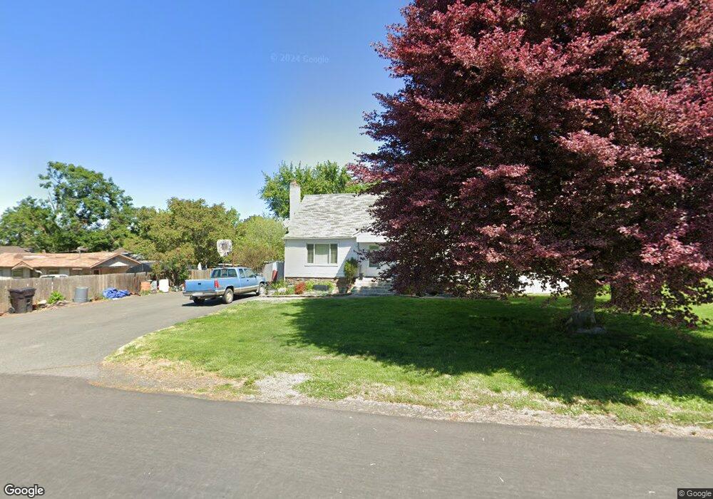
333 Preston Ave Lewiston, ID 83501
Estimated Value: $296,000 - $366,000
4
Beds
2
Baths
2,256
Sq Ft
$153/Sq Ft
Est. Value
About This Home
This home is located at 333 Preston Ave, Lewiston, ID 83501 and is currently estimated at $344,219, approximately $152 per square foot. 333 Preston Ave is a home located in Nez Perce County with nearby schools including McSorley Elementary School, Lewiston High School, and Beacon Christian School.
Ownership History
Date
Name
Owned For
Owner Type
Purchase Details
Closed on
Jan 13, 2012
Sold by
Earl Danielle
Bought by
Earl Jasn A
Current Estimated Value
Purchase Details
Closed on
Aug 24, 2009
Sold by
Rogers Kenneth W
Bought by
Earl Jason A and Earl Danielle
Home Financials for this Owner
Home Financials are based on the most recent Mortgage that was taken out on this home.
Original Mortgage
$152,000
Outstanding Balance
$97,271
Interest Rate
5.09%
Mortgage Type
New Conventional
Estimated Equity
$246,948
Create a Home Valuation Report for This Property
The Home Valuation Report is an in-depth analysis detailing your home's value as well as a comparison with similar homes in the area
Purchase History
| Date | Buyer | Sale Price | Title Company |
|---|---|---|---|
| Earl Jasn A | -- | Land Title | |
| Earl Jason A | -- | -- |
Source: Public Records
Mortgage History
| Date | Status | Borrower | Loan Amount |
|---|---|---|---|
| Open | Earl Jason A | $152,000 |
Source: Public Records
Tax History
| Year | Tax Paid | Tax Assessment Tax Assessment Total Assessment is a certain percentage of the fair market value that is determined by local assessors to be the total taxable value of land and additions on the property. | Land | Improvement |
|---|---|---|---|---|
| 2025 | $2,115 | $289,529 | $70,000 | $219,529 |
| 2024 | $20 | $274,322 | $66,250 | $208,072 |
| 2023 | $1,850 | $268,799 | $64,250 | $204,549 |
| 2022 | $2,499 | $273,600 | $55,750 | $217,850 |
| 2021 | $2,275 | $231,039 | $52,250 | $178,789 |
| 2020 | $1,864 | $188,705 | $43,500 | $145,205 |
| 2019 | $1,889 | $174,378 | $43,500 | $130,878 |
| 2018 | $1,858 | $170,082 | $41,250 | $128,832 |
| 2017 | $1,630 | $0 | $0 | $0 |
| 2016 | $1,630 | $0 | $0 | $0 |
| 2015 | $1,654 | $0 | $0 | $0 |
| 2014 | $1,577 | $159,473 | $37,500 | $121,973 |
Source: Public Records
Map
Nearby Homes
- 2936 Mayfair Ridge
- 3228 5th St
- 3313 4th St
- 344 Park Dr
- 3327 4th St
- 407 Linden Dr
- 3312 5th St
- 1605 Vineyard Dr
- 1621 Vineyard Dr
- 404 Linden Dr
- 1533 Vineyard Dr
- 2901 Knoll Crest Dr
- 2145 13th St
- 2987 Knoll Crest Dr
- 405 Crestline Circle Dr
- 530 Valley Vista Blvd
- 0000 Warner Dr
- 606 Warner Ave Unit B
- 450 Knoll Crest Ct
- 488 Crestline Circle Dr
- 329 Preston Ave
- 337 Preston Ave
- 327 Preston Ave
- 327 Preston Ave Unit 329 Preston Avenue
- 3136 4th St
- 3140 4th St
- 327 Preston Ave
- 3134 4th St
- 332 Vista Dr
- 3132 4th St
- 336 Vista Dr
- 325 Preston Ave
- 3130 4th St
- 330 Vista Dr
- 3137 4th St
- 403 Preston Ave
- 3135 4th St
- Lot 2 Rio Vista Dr
- Lot 4 Rio Vista Dr
- 0000 Rio Vista Dr
Your Personal Tour Guide
Ask me questions while you tour the home.