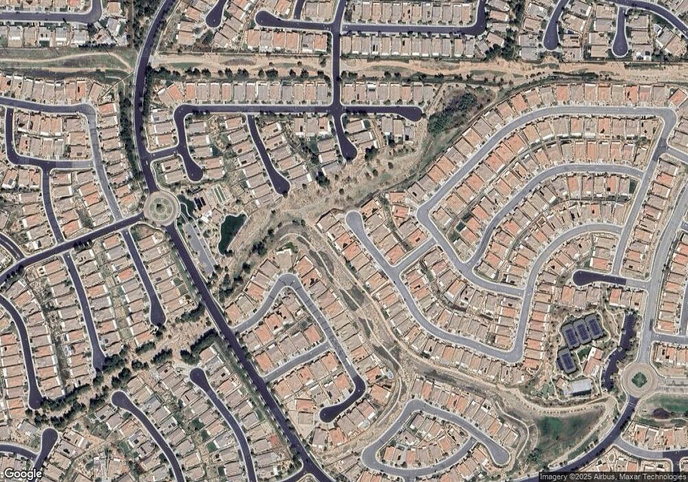
333 Song Bird Beaumont, CA 92223
Estimated Value: $601,417 - $650,000
2
Beds
3
Baths
2,482
Sq Ft
$252/Sq Ft
Est. Value
About This Home
This home is located at 333 Song Bird, Beaumont, CA 92223 and is currently estimated at $625,854, approximately $252 per square foot. 333 Song Bird is a home with nearby schools including Palm Innovation Academy, San Gorgonio Middle School, and Beaumont Senior High School.
Ownership History
Date
Name
Owned For
Owner Type
Purchase Details
Closed on
Jan 18, 2023
Sold by
Simpson Ronald Willard and Simpson Deborah Kay
Bought by
Ronald Willard Simpson & Deborah Kay Roughton
Current Estimated Value
Purchase Details
Closed on
Jan 17, 2023
Sold by
Roughton Tammy Louise and Cerrillo Joseph Nicholas
Bought by
Roughton-Cerrillo Tammy Louise and Simpson Ronald Willard
Purchase Details
Closed on
Aug 29, 2018
Sold by
K Hovnanian S Four Seasons At Beaumont L
Bought by
Simpson Ronald Willard and Roughton Simpson Deborah Kay
Home Financials for this Owner
Home Financials are based on the most recent Mortgage that was taken out on this home.
Original Mortgage
$344,950
Interest Rate
4.5%
Mortgage Type
New Conventional
Create a Home Valuation Report for This Property
The Home Valuation Report is an in-depth analysis detailing your home's value as well as a comparison with similar homes in the area
Home Values in the Area
Average Home Value in this Area
Purchase History
| Date | Buyer | Sale Price | Title Company |
|---|---|---|---|
| Ronald Willard Simpson & Deborah Kay Roughton | -- | -- | |
| Joseph Nicholas Cerrillo | -- | -- | |
| Roughton-Cerrillo Tammy Louise | -- | None Listed On Document | |
| Simpson Ronald Willard | $431,500 | Orange Coast Title Company |
Source: Public Records
Mortgage History
| Date | Status | Borrower | Loan Amount |
|---|---|---|---|
| Previous Owner | Simpson Ronald Willard | $344,950 |
Source: Public Records
Tax History Compared to Growth
Tax History
| Year | Tax Paid | Tax Assessment Tax Assessment Total Assessment is a certain percentage of the fair market value that is determined by local assessors to be the total taxable value of land and additions on the property. | Land | Improvement |
|---|---|---|---|---|
| 2025 | $7,885 | $489,367 | $83,659 | $405,708 |
| 2023 | $7,885 | $470,365 | $80,411 | $389,954 |
| 2022 | $7,691 | $461,143 | $78,835 | $382,308 |
| 2021 | $7,584 | $452,102 | $77,290 | $374,812 |
| 2020 | $7,487 | $447,467 | $76,498 | $370,969 |
| 2019 | $7,464 | $431,195 | $74,999 | $356,196 |
| 2018 | $175 | $8,809 | $8,809 | $0 |
| 2017 | $171 | $8,637 | $8,637 | $0 |
Source: Public Records
Map
Nearby Homes
- 316 Pipe Springs
- 383 Song Bird
- 1533 Big Bend
- 1544 Big Bend
- 1506 Big Bend
- 322 Forked Run
- 1537 Tattlesall
- 285 Bartram Trail
- 279 Bartram Trail
- 277 Buck Springs
- 358 Linnea Fields
- 1576 Lindsey Peak
- 1538 Green Creek Trail
- 442 Yellowstone Park
- 1616 Rosemary Gardens
- 1608 Sams Canyon
- 283 White Sands St
- 193 Kettle Creek
- 448 Everest Peak
- 351 Scarlett Runner
