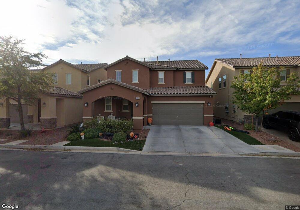
333 Woodsfield Ct Las Vegas, NV 89183
Silverado Ranch NeighborhoodEstimated Value: $536,000 - $592,000
3
Beds
3
Baths
2,428
Sq Ft
$233/Sq Ft
Est. Value
About This Home
This home is located at 333 Woodsfield Ct, Las Vegas, NV 89183 and is currently estimated at $566,541, approximately $233 per square foot. 333 Woodsfield Ct is a home with nearby schools including Steve Schorr Elementary School, Del E. Webb Middle School, and Liberty High School.
Ownership History
Date
Name
Owned For
Owner Type
Purchase Details
Closed on
Mar 23, 2021
Sold by
Cox Ronald J and Cox Adina L
Bought by
Raar Family Trust
Current Estimated Value
Purchase Details
Closed on
Feb 6, 2014
Sold by
Kb Home Lv Fairfield Llc
Bought by
Cox Ronald J and Cox Adina L
Home Financials for this Owner
Home Financials are based on the most recent Mortgage that was taken out on this home.
Original Mortgage
$256,136
Interest Rate
4.49%
Mortgage Type
New Conventional
Create a Home Valuation Report for This Property
The Home Valuation Report is an in-depth analysis detailing your home's value as well as a comparison with similar homes in the area
Home Values in the Area
Average Home Value in this Area
Purchase History
| Date | Buyer | Sale Price | Title Company |
|---|---|---|---|
| Raar Family Trust | -- | None Listed On Document | |
| Cox Ronald J | $269,617 | First American Title Centra |
Source: Public Records
Mortgage History
| Date | Status | Borrower | Loan Amount |
|---|---|---|---|
| Previous Owner | Cox Ronald J | $256,136 |
Source: Public Records
Tax History Compared to Growth
Tax History
| Year | Tax Paid | Tax Assessment Tax Assessment Total Assessment is a certain percentage of the fair market value that is determined by local assessors to be the total taxable value of land and additions on the property. | Land | Improvement |
|---|---|---|---|---|
| 2025 | $4,697 | $186,606 | $38,500 | $148,106 |
| 2024 | $4,560 | $186,606 | $38,500 | $148,106 |
| 2023 | $4,560 | $175,902 | $38,500 | $137,402 |
| 2022 | $3,465 | $131,391 | $37,100 | $94,291 |
| 2021 | $3,364 | $117,668 | $28,700 | $88,968 |
| 2020 | $3,263 | $116,529 | $28,700 | $87,829 |
| 2019 | $3,058 | $109,868 | $23,450 | $86,418 |
| 2018 | $2,918 | $99,506 | $17,500 | $82,006 |
| 2017 | $2,856 | $97,369 | $14,700 | $82,669 |
| 2016 | $2,737 | $93,089 | $8,750 | $84,339 |
| 2015 | $2,732 | $91,470 | $8,750 | $82,720 |
| 2014 | $2,683 | $8,750 | $8,750 | $0 |
Source: Public Records
Map
Nearby Homes
- 326 E Neal Ave
- 3758 Bright Aquarius Ln
- 11668 Tierney Creek Dr
- 0 La Cienega and E Starr
- The Jefferson Plan at Liberty - Series 1
- The Hamilton Plan at Liberty - Series 1
- The Fraklin Plan at Liberty - Series 1
- Cesena Plan at Liberty - Series 3
- Layton Plan at Liberty - Series 2
- Kitchell Plan at Liberty - Series 2
- 1271 Dorado Sea Ct
- 1267 Dorado Sea Ct
- 3724 Canis Minor Ln Unit 21101
- 3717 Canis Minor Ln Unit 11101
- 11210 Formosa Springs Ct
- 1169 Via Piazza
- 11185 Placid St
- 232 Star Ruby Ct
- 3741 Via Gaetano
- 178 Elexese Ct
- 331 Woodsfield Ct
- 337 Woodsfield Ct
- 341 Woodsfield Ct
- 329 Woodsfield Ct
- 332 E Neal Ave
- 338 E Neal Ave
- 332 Woodsfield Ct
- 336 Woodsfield Ct
- 330 E Neal Ave
- 342 E Neal Ave
- 330 Woodsfield Ct
- 325 Woodsfield Ct
- 345 Woodsfield Ct
- 328 Woodsfield Ct
- 340 Woodsfield Ct
- 346 E Neal Ave
- 321 Woodsfield Ct
- 324 Woodsfield Ct
- 349 Woodsfield Ct
- 344 Woodsfield Ct