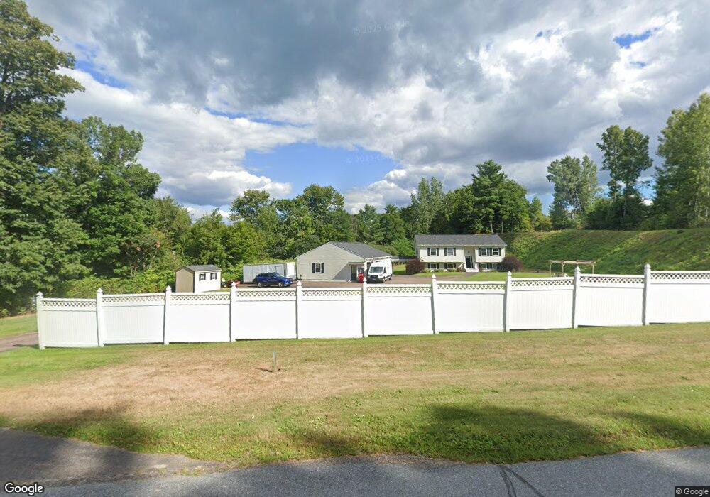
3330 Roosevelt Hwy Colchester, VT 05446
Estimated Value: $559,276 - $613,000
3
Beds
3
Baths
1,689
Sq Ft
$347/Sq Ft
Est. Value
About This Home
This home is located at 3330 Roosevelt Hwy, Colchester, VT 05446 and is currently estimated at $586,819, approximately $347 per square foot. 3330 Roosevelt Hwy is a home located in Chittenden County with nearby schools including Union Memorial School, Malletts Bay School, and Colchester Middle School.
Ownership History
Date
Name
Owned For
Owner Type
Purchase Details
Closed on
Feb 13, 2003
Sold by
Lapierre Maurice
Bought by
Bevins Ronald C and Bevins Danielle M
Current Estimated Value
Create a Home Valuation Report for This Property
The Home Valuation Report is an in-depth analysis detailing your home's value as well as a comparison with similar homes in the area
Home Values in the Area
Average Home Value in this Area
Purchase History
| Date | Buyer | Sale Price | Title Company |
|---|---|---|---|
| Bevins Ronald C | $225,000 | -- |
Source: Public Records
Tax History Compared to Growth
Tax History
| Year | Tax Paid | Tax Assessment Tax Assessment Total Assessment is a certain percentage of the fair market value that is determined by local assessors to be the total taxable value of land and additions on the property. | Land | Improvement |
|---|---|---|---|---|
| 2024 | $8,468 | $0 | $0 | $0 |
| 2023 | $7,792 | $0 | $0 | $0 |
| 2022 | $6,579 | $0 | $0 | $0 |
| 2021 | $6,714 | $0 | $0 | $0 |
| 2020 | $6,622 | $0 | $0 | $0 |
| 2019 | $6,509 | $0 | $0 | $0 |
| 2018 | $6,403 | $0 | $0 | $0 |
| 2017 | $6,159 | $311,200 | $0 | $0 |
| 2016 | $6,071 | $310,500 | $0 | $0 |
Source: Public Records
Map
Nearby Homes
- 127 Windswept Dr
- 107 Windswept Dr
- 87 Windswept Dr
- 106 Windswept Dr
- 67 Windswept Dr
- 86 Windswept Dr
- 70 Windswept Dr
- 56 Windswept Dr
- 83 Munson Rd
- 38 Windswept Dr
- 1114 Bay Rd
- 22 Windswept Dr
- 1250 Bay Rd Unit 4
- 1250 Bay Rd
- 95 Orchard Dr
- 74 Orchard Dr
- 1248 Bay Rd Unit 5
- 1248 Bay Rd
- 1267 Bay Rd
- 121 Orchard Dr