3330 Spence Rd Loomis, CA 95650
Estimated Value: $576,000 - $1,376,000
3
Beds
2
Baths
2,680
Sq Ft
$366/Sq Ft
Est. Value
About This Home
This home is located at 3330 Spence Rd, Loomis, CA 95650 and is currently estimated at $981,585, approximately $366 per square foot. 3330 Spence Rd is a home located in Placer County with nearby schools including Del Oro High School and Sierra Foothills Academy.
Ownership History
Date
Name
Owned For
Owner Type
Purchase Details
Closed on
May 29, 2002
Sold by
Spence Darrell and Spence Doreen
Bought by
Brechtel Patrick and Tainton Brechtel Melinda
Current Estimated Value
Home Financials for this Owner
Home Financials are based on the most recent Mortgage that was taken out on this home.
Original Mortgage
$160,000
Outstanding Balance
$68,034
Interest Rate
6.89%
Mortgage Type
Seller Take Back
Estimated Equity
$913,551
Create a Home Valuation Report for This Property
The Home Valuation Report is an in-depth analysis detailing your home's value as well as a comparison with similar homes in the area
Purchase History
| Date | Buyer | Sale Price | Title Company |
|---|---|---|---|
| Brechtel Patrick | $200,000 | Placer Title Company |
Source: Public Records
Mortgage History
| Date | Status | Borrower | Loan Amount |
|---|---|---|---|
| Open | Brechtel Patrick | $160,000 |
Source: Public Records
Tax History
| Year | Tax Paid | Tax Assessment Tax Assessment Total Assessment is a certain percentage of the fair market value that is determined by local assessors to be the total taxable value of land and additions on the property. | Land | Improvement |
|---|---|---|---|---|
| 2025 | $4,852 | $428,030 | $206,813 | $221,217 |
| 2023 | $4,852 | $411,411 | $198,783 | $212,628 |
| 2022 | $4,757 | $403,345 | $194,886 | $208,459 |
| 2021 | $4,633 | $395,437 | $191,065 | $204,372 |
| 2020 | $4,573 | $391,383 | $189,106 | $202,277 |
| 2019 | $4,493 | $383,710 | $185,399 | $198,311 |
| 2018 | $4,263 | $376,187 | $181,764 | $194,423 |
| 2017 | $4,188 | $368,811 | $178,200 | $190,611 |
| 2016 | $4,097 | $361,580 | $174,706 | $186,874 |
| 2015 | $4,011 | $356,149 | $172,082 | $184,067 |
| 2014 | $3,947 | $349,174 | $168,712 | $180,462 |
Source: Public Records
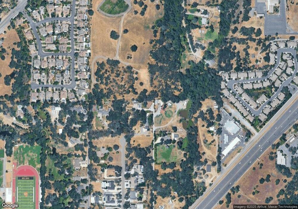
Map
Nearby Homes
- 3360 Cherokee Trail
- 7102 Orchard Cir
- 7077 Orchard Cir
- 7084 Orchard Cir
- 3130 Penryn Rd
- 6318 David Ave
- 5932 Angelo Dr
- 7569 Old Pear Hill Ln
- 0 Webb St
- 5760 Webb St
- 8140 Brookhollow Ct
- 0 Hickey Trl Lot 19 Unit 226022426
- 0 Tracy Ln
- 3410 Ashley Creek Dr
- 6154 S Walnut St Unit 40
- 5567 Myrtle Dr
- 3460 Ashley Creek Dr
- 6348 Horseshoe Bar Rd
- 7081 Kayo Dr
- 3428 Colvin Dr
- 3265 Spence Rd
- 3261 Cherokee Trail
- 3283 Spence Rd
- 3260 Cherokee Trail
- 3295 Cherokee Trail
- 3095 Orchard Park Way
- 3305 Cherokee Trail
- 3340 Boyington Rd
- 3091 Orchard Park Way
- 3300 Cherokee Trail
- 3270 Chisom Trail
- 3085 Orchard Park Way
- 7228 Orchard Cir
- 3081 Orchard Park Ct
- 7234 Orchard Cir
- 3081 Orchard Park Way
- 6973 Tumble Ln
- 7240 Orchard Cir
- 7222 Orchard Cir
- 3315 Cherokee Trail
Your Personal Tour Guide
Ask me questions while you tour the home.