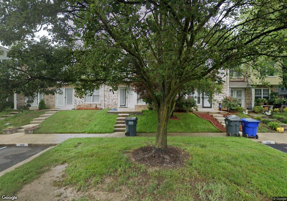
3333 Westdale Ct Waldorf, MD 20601
Estimated Value: $320,000 - $334,289
--
Bed
3
Baths
1,392
Sq Ft
$236/Sq Ft
Est. Value
About This Home
This home is located at 3333 Westdale Ct, Waldorf, MD 20601 and is currently estimated at $329,072, approximately $236 per square foot. 3333 Westdale Ct is a home located in Charles County with nearby schools including Daniel of St. Thomas Jenifer Elementary School, Mattawoman Middle School, and Thomas Stone High School.
Ownership History
Date
Name
Owned For
Owner Type
Purchase Details
Closed on
Aug 29, 2006
Sold by
Ward James A
Bought by
Ware Corey Tonya Swann
Current Estimated Value
Home Financials for this Owner
Home Financials are based on the most recent Mortgage that was taken out on this home.
Original Mortgage
$50,000
Interest Rate
6.83%
Mortgage Type
Stand Alone Second
Purchase Details
Closed on
Aug 21, 2006
Sold by
Ward James A
Bought by
Ware Corey Tonya Swann
Home Financials for this Owner
Home Financials are based on the most recent Mortgage that was taken out on this home.
Original Mortgage
$50,000
Interest Rate
6.83%
Mortgage Type
Stand Alone Second
Purchase Details
Closed on
Jul 17, 2002
Sold by
Brandenberg Mark E
Bought by
Ward James A
Purchase Details
Closed on
Apr 15, 1996
Sold by
Grenis Matthew Z
Bought by
Brandenberg Mark M
Create a Home Valuation Report for This Property
The Home Valuation Report is an in-depth analysis detailing your home's value as well as a comparison with similar homes in the area
Home Values in the Area
Average Home Value in this Area
Purchase History
| Date | Buyer | Sale Price | Title Company |
|---|---|---|---|
| Ware Corey Tonya Swann | $250,000 | -- | |
| Ware Corey Tonya Swann | $250,000 | -- | |
| Ward James A | $127,500 | -- | |
| Brandenberg Mark M | $114,000 | -- |
Source: Public Records
Mortgage History
| Date | Status | Borrower | Loan Amount |
|---|---|---|---|
| Closed | Ware Corey Tonya Swann | $50,000 | |
| Open | Ware Corey Tonya Swann | $200,000 | |
| Closed | Ware Corey Tonya Swann | $200,000 | |
| Closed | Brandenberg Mark M | -- |
Source: Public Records
Tax History Compared to Growth
Tax History
| Year | Tax Paid | Tax Assessment Tax Assessment Total Assessment is a certain percentage of the fair market value that is determined by local assessors to be the total taxable value of land and additions on the property. | Land | Improvement |
|---|---|---|---|---|
| 2025 | $8,228 | $258,467 | -- | -- |
| 2024 | $3,557 | $245,600 | $120,000 | $125,600 |
| 2023 | $3,303 | $231,167 | $0 | $0 |
| 2022 | $3,122 | $216,733 | $0 | $0 |
| 2021 | $2,633 | $202,300 | $90,000 | $112,300 |
| 2020 | $2,633 | $183,133 | $0 | $0 |
| 2019 | $2,364 | $163,967 | $0 | $0 |
| 2018 | $2,072 | $144,800 | $80,000 | $64,800 |
| 2017 | $2,049 | $143,533 | $0 | $0 |
| 2016 | -- | $142,267 | $0 | $0 |
| 2015 | $2,186 | $141,000 | $0 | $0 |
| 2014 | $2,186 | $141,000 | $0 | $0 |
Source: Public Records
Map
Nearby Homes
- 2545 Enterprise Place
- HAYDEN Plan at Acton Park
- 2522 Regal Place
- 231 Westdale Dr
- 2031 Tanglewood Dr
- 2073 Tanglewood Dr
- 12113 Farrar Place
- 11519 Shearwater Dr
- 11565 Timberbrook Dr
- 11748 Torcello Ct
- 11613 Gallinule Ct
- 11824 Murre Ct
- 11616 Kipling Dr
- 11540 Leland Place
- 11800 Railroad Place
- 2712 Tred Avon Ct
- 2704 Tred Avon Ct
- 11507 Timberbrook Dr
- 2717 Stanford Place
- 0 Hamilton Rd Unit MDCH2045568
- 3334 Westdale Ct
- 3332 Westdale Ct
- 3331 Westdale Ct
- 3335 Westdale Ct
- 19530 Lariat Place
- 19528 Lariat Place
- 19532 Lariat Place
- 19526 Lariat Place
- 19534 Lariat Place
- 3329 Westdale Ct
- 3328 Westdale Ct
- 3336 Westdale Ct
- 3330 Westdale Ct
- 19536 Lariat Place
- 3327 Westdale Ct
- 3337 Westdale Ct
- 3326 Westdale Ct
- 19522 Lariat Place
- 19538 Lariat Place
- 3339 Westdale Ct