3335 Spence Rd Loomis, CA 95650
Estimated Value: $624,000 - $901,000
3
Beds
2
Baths
1,659
Sq Ft
$447/Sq Ft
Est. Value
About This Home
This home is located at 3335 Spence Rd, Loomis, CA 95650 and is currently estimated at $742,138, approximately $447 per square foot. 3335 Spence Rd is a home located in Placer County with nearby schools including Del Oro High School and Sierra Foothills Academy.
Ownership History
Date
Name
Owned For
Owner Type
Purchase Details
Closed on
Jul 27, 2006
Sold by
Mccoy Cynthia Wickes
Bought by
Mccoy Dale E
Current Estimated Value
Purchase Details
Closed on
Oct 18, 2002
Sold by
Pruett Luvaunnia
Bought by
Mccoy Dale and Mccoy Cynthia
Home Financials for this Owner
Home Financials are based on the most recent Mortgage that was taken out on this home.
Original Mortgage
$273,600
Interest Rate
6.09%
Mortgage Type
Purchase Money Mortgage
Create a Home Valuation Report for This Property
The Home Valuation Report is an in-depth analysis detailing your home's value as well as a comparison with similar homes in the area
Purchase History
| Date | Buyer | Sale Price | Title Company |
|---|---|---|---|
| Mccoy Dale E | -- | None Available | |
| Mccoy Dale | $342,000 | Chicago Title Co |
Source: Public Records
Mortgage History
| Date | Status | Borrower | Loan Amount |
|---|---|---|---|
| Previous Owner | Mccoy Dale | $273,600 |
Source: Public Records
Tax History
| Year | Tax Paid | Tax Assessment Tax Assessment Total Assessment is a certain percentage of the fair market value that is determined by local assessors to be the total taxable value of land and additions on the property. | Land | Improvement |
|---|---|---|---|---|
| 2025 | $5,474 | $495,306 | $173,788 | $321,518 |
| 2023 | $5,474 | $476,075 | $167,041 | $309,034 |
| 2022 | $5,369 | $466,741 | $163,766 | $302,975 |
| 2021 | $5,228 | $457,590 | $160,555 | $297,035 |
| 2020 | $5,161 | $452,899 | $158,909 | $293,990 |
| 2019 | $5,070 | $444,020 | $155,794 | $288,226 |
| 2018 | $4,805 | $435,315 | $152,740 | $282,575 |
| 2017 | $4,720 | $426,781 | $149,746 | $277,035 |
| 2016 | $4,616 | $418,413 | $146,810 | $271,603 |
| 2015 | $4,518 | $412,129 | $144,605 | $267,524 |
| 2014 | $4,446 | $404,057 | $141,773 | $262,284 |
Source: Public Records
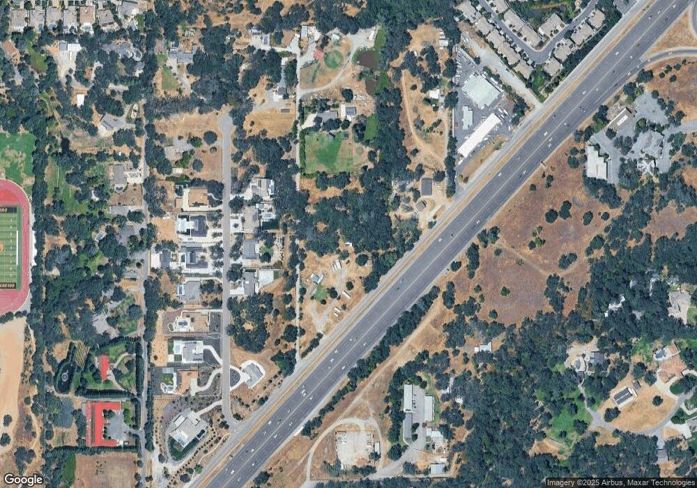
Map
Nearby Homes
- 7077 Orchard Cir
- 3130 Penryn Rd
- 6318 David Ave
- 3521 Val Verde Rd Unit 3511
- 5932 Angelo Dr
- 5760 Webb St
- 8140 Brookhollow Ct
- 3730 Callison St
- 3410 Ashley Creek Dr
- 6154 S Walnut St Unit 40
- 6338 Horseshoe Bar Rd
- 6348 Horseshoe Bar Rd
- 3460 Ashley Creek Dr
- 7801 Law Ln
- 0 Tracy Ln
- 3428 Colvin Dr
- 3695 Frost Ln
- 3420 Grove Cir
- 7081 Kayo Dr
- 3955 Stonegate Ct
- 3390 Boyington Rd
- 3344 Boyington Rd
- 3325 Cherokee Trail
- 3315 Cherokee Trail
- 3345 Cherokee Trail
- 3305 Cherokee Trail
- 3295 Cherokee Trail
- 3283 Spence Rd
- 3330 Cherokee Trail
- 3310 Cherokee Trail
- 3340 Cherokee Trail
- 3365 Cherokee Trail
- 3407 Holsclaw Rd
- 3340 Boyington Rd
- 3261 Cherokee Trail
- 3350 Cherokee Trail
- 3400 Holsclaw Rd
- 3370 Cherokee Trail
- 3300 Cherokee Trail