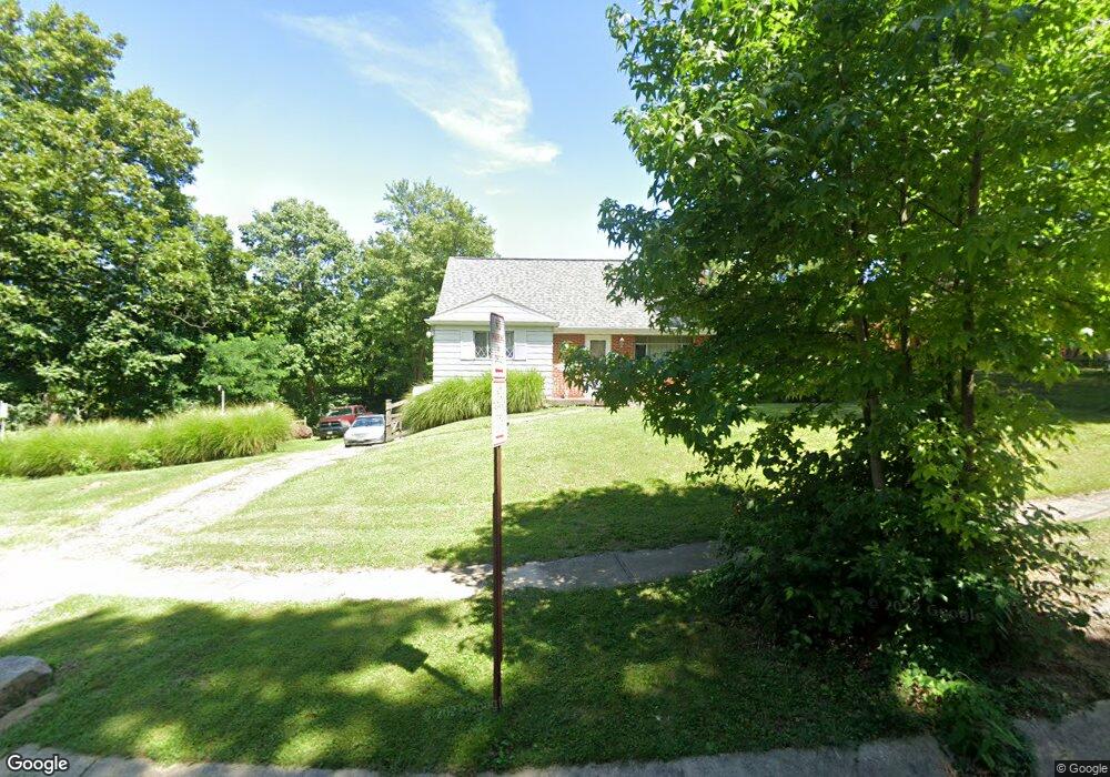
334 Anders Ct Cincinnati, OH 45238
Delhi Hills NeighborhoodEstimated Value: $219,000 - $240,000
4
Beds
1
Bath
1,247
Sq Ft
$181/Sq Ft
Est. Value
About This Home
This home is located at 334 Anders Ct, Cincinnati, OH 45238 and is currently estimated at $225,252, approximately $180 per square foot. 334 Anders Ct is a home located in Hamilton County with nearby schools including C.O. Harrison Elementary School, Delhi Middle School, and Oak Hills High School.
Ownership History
Date
Name
Owned For
Owner Type
Purchase Details
Closed on
Nov 2, 2020
Sold by
Fancher Robert W and Fancher Annette K
Bought by
Fancher Robert W and Fancher Annette K
Current Estimated Value
Purchase Details
Closed on
Apr 5, 1996
Sold by
Fancher Margaret L
Bought by
Fancher Robert W
Home Financials for this Owner
Home Financials are based on the most recent Mortgage that was taken out on this home.
Original Mortgage
$72,853
Interest Rate
7.36%
Mortgage Type
FHA
Create a Home Valuation Report for This Property
The Home Valuation Report is an in-depth analysis detailing your home's value as well as a comparison with similar homes in the area
Home Values in the Area
Average Home Value in this Area
Purchase History
| Date | Buyer | Sale Price | Title Company |
|---|---|---|---|
| Fancher Robert W | -- | None Available | |
| Fancher Robert W | $72,900 | -- |
Source: Public Records
Mortgage History
| Date | Status | Borrower | Loan Amount |
|---|---|---|---|
| Closed | Fancher Robert W | $72,853 |
Source: Public Records
Tax History
| Year | Tax Paid | Tax Assessment Tax Assessment Total Assessment is a certain percentage of the fair market value that is determined by local assessors to be the total taxable value of land and additions on the property. | Land | Improvement |
|---|---|---|---|---|
| 2025 | $3,785 | $63,609 | $8,967 | $54,642 |
| 2024 | $3,694 | $63,609 | $8,967 | $54,642 |
| 2023 | $3,704 | $63,609 | $8,967 | $54,642 |
| 2022 | $2,534 | $38,637 | $8,323 | $30,314 |
| 2021 | $2,482 | $38,637 | $8,323 | $30,314 |
| 2020 | $2,517 | $38,637 | $8,323 | $30,314 |
| 2019 | $2,415 | $33,306 | $7,175 | $26,131 |
| 2018 | $2,417 | $33,306 | $7,175 | $26,131 |
| 2017 | $2,183 | $33,306 | $7,175 | $26,131 |
| 2016 | $2,147 | $32,834 | $6,937 | $25,897 |
| 2015 | $2,150 | $32,834 | $6,937 | $25,897 |
| 2014 | $2,152 | $32,834 | $6,937 | $25,897 |
| 2013 | $2,131 | $34,559 | $7,301 | $27,258 |
Source: Public Records
Map
Nearby Homes
- 298 Kinsman Ct
- 5188 Orangelawn Dr
- 410 Morrvue Dr
- 5062 Orangelawn Dr
- 5467 Starcrest Dr
- 5474 Starcrest Dr
- 5210 Old Oak Trail
- 481 Viscount Dr
- 5160 Old Oak Trail
- 5140 Old Oak Trail
- 4938 Mount Alverno Rd
- 4994 Troubador Ct
- 337 Greenwell Ave
- 548 Anderson Ferry Rd
- 4979 Bonaventure Ct
- 5528 Timber Way Dr Unit 5528
- 4904 Riverwatch Dr
- 553 Starling Ct
- 4968 Francisview Dr
- 4924 Alvernovalley Ct
- 5316 Briarhill Dr
- 5314 Briarhill Dr
- 5312 Briarhill Dr
- 5320 Briarhill Dr
- 339 Anders Ct
- 5308 Briarhill Dr
- 333 Anders Ct
- 5322 Briarhill Dr
- 5315 Briarhill Dr
- 335 Anders Ct
- 5313 Briarhill Dr
- 5306 Briarhill Dr
- 5309 Briarhill Dr
- 5321 Briarhill Dr
- 5324 Briarhill Dr
- 5304 Briarhill Dr
- 5307 Briarhill Dr
- 353 Applecreek Ct
- 5329 Briarhill Dr
- 351 Marbill Ln
Your Personal Tour Guide
Ask me questions while you tour the home.