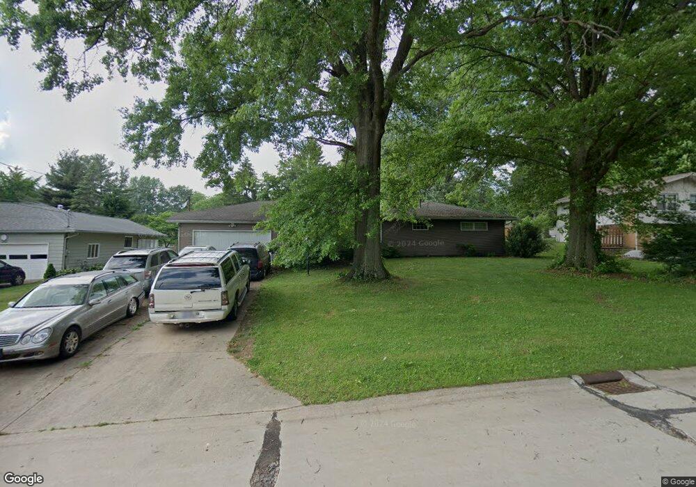
334 Edmore Rd Fairlawn, OH 44333
Estimated Value: $313,789 - $372,000
3
Beds
4
Baths
1,782
Sq Ft
$186/Sq Ft
Est. Value
About This Home
This home is located at 334 Edmore Rd, Fairlawn, OH 44333 and is currently estimated at $331,697, approximately $186 per square foot. 334 Edmore Rd is a home located in Summit County with nearby schools including Copley-Fairlawn Middle School, Copley High School, and Fairlawn Lutheran School.
Ownership History
Date
Name
Owned For
Owner Type
Purchase Details
Closed on
Jun 30, 2006
Sold by
Wright Christopher C and Wright Leah
Bought by
Woosnam Jeanne
Current Estimated Value
Purchase Details
Closed on
Aug 20, 2004
Sold by
Wright Christopher C and Wright Alynne D
Bought by
Wright Christopher C
Home Financials for this Owner
Home Financials are based on the most recent Mortgage that was taken out on this home.
Original Mortgage
$136,000
Interest Rate
6.1%
Mortgage Type
New Conventional
Purchase Details
Closed on
Jun 7, 2001
Sold by
Wright Charles W
Bought by
Wright Christopher C and Wright Alynne D
Home Financials for this Owner
Home Financials are based on the most recent Mortgage that was taken out on this home.
Original Mortgage
$124,400
Interest Rate
7.16%
Create a Home Valuation Report for This Property
The Home Valuation Report is an in-depth analysis detailing your home's value as well as a comparison with similar homes in the area
Home Values in the Area
Average Home Value in this Area
Purchase History
| Date | Buyer | Sale Price | Title Company |
|---|---|---|---|
| Woosnam Jeanne | $195,000 | Land America-Lawyers Title | |
| Wright Christopher C | -- | First Elite Title Agency | |
| Wright Christopher C | -- | Midland Commerce Group |
Source: Public Records
Mortgage History
| Date | Status | Borrower | Loan Amount |
|---|---|---|---|
| Previous Owner | Wright Christopher C | $136,000 | |
| Previous Owner | Wright Christopher C | $124,400 |
Source: Public Records
Tax History Compared to Growth
Tax History
| Year | Tax Paid | Tax Assessment Tax Assessment Total Assessment is a certain percentage of the fair market value that is determined by local assessors to be the total taxable value of land and additions on the property. | Land | Improvement |
|---|---|---|---|---|
| 2025 | $4,032 | $92,611 | $17,525 | $75,086 |
| 2024 | $4,032 | $92,611 | $17,525 | $75,086 |
| 2023 | $4,032 | $92,611 | $17,525 | $75,086 |
| 2022 | $3,335 | $69,633 | $13,178 | $56,455 |
| 2021 | $3,133 | $69,633 | $13,178 | $56,455 |
| 2020 | $3,063 | $69,640 | $13,180 | $56,460 |
| 2019 | $3,049 | $62,060 | $12,520 | $49,540 |
| 2018 | $2,987 | $62,060 | $12,520 | $49,540 |
| 2017 | $2,700 | $62,060 | $12,520 | $49,540 |
| 2016 | $2,762 | $52,500 | $12,520 | $39,980 |
| 2015 | $2,700 | $52,500 | $12,520 | $39,980 |
| 2014 | $2,690 | $52,500 | $12,520 | $39,980 |
| 2013 | $2,901 | $56,820 | $12,520 | $44,300 |
Source: Public Records
Map
Nearby Homes
- 3143 Morewood Rd
- 288 Kenridge Rd
- 342 S Miller Rd
- V/L White Tail Ridge Dr
- 3317 Morewood Rd
- 360 Marviel Dr
- 3354 Bancroft Rd
- 462 Gresham Dr
- 482 Gresham Dr
- 3404 S Smith Rd
- 1012 Bunker Dr Unit 304
- 3475 Bancroft Rd
- 3340 Willow Ln
- 0 Brunsdorph Rd
- 3451 Stanley Rd
- 278 Chestnut Ln
- 595 Moorfield Rd
- 2520 Holgate Rd
- 804 Miramar Ln
- 786 Brunsdorph Rd