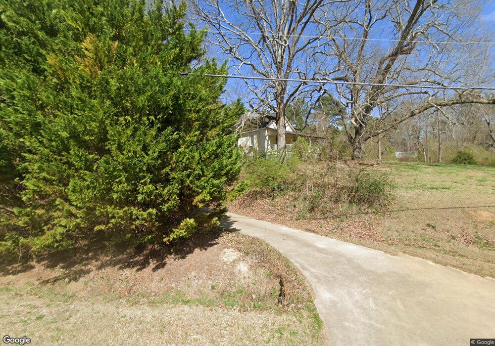
334 Runyon Rd Cedartown, GA 30125
Estimated Value: $281,000 - $351,000
3
Beds
2
Baths
1,501
Sq Ft
$212/Sq Ft
Est. Value
About This Home
This home is located at 334 Runyon Rd, Cedartown, GA 30125 and is currently estimated at $318,145, approximately $211 per square foot. 334 Runyon Rd is a home located in Polk County.
Ownership History
Date
Name
Owned For
Owner Type
Purchase Details
Closed on
Sep 16, 1982
Sold by
Carter Clyde R
Bought by
Lee Charles and Lee Ellen
Current Estimated Value
Purchase Details
Closed on
Dec 16, 1971
Sold by
Carter Clyde R and Carter Carter
Bought by
Carter Clyder R
Purchase Details
Closed on
Sep 19, 1969
Sold by
Queen Edward D
Bought by
Carter Clyde R and Carter Carter
Purchase Details
Closed on
Jul 9, 1965
Sold by
Queen Emma Miss
Bought by
Queen Edward D
Purchase Details
Closed on
Jun 28, 1952
Bought by
Queen Emma Miss
Create a Home Valuation Report for This Property
The Home Valuation Report is an in-depth analysis detailing your home's value as well as a comparison with similar homes in the area
Purchase History
| Date | Buyer | Sale Price | Title Company |
|---|---|---|---|
| Lee Charles | -- | -- | |
| Carter Clyder R | -- | -- | |
| Carter Clyde R | -- | -- | |
| Queen Edward D | -- | -- | |
| Queen Emma Miss | -- | -- |
Source: Public Records
Tax History
| Year | Tax Paid | Tax Assessment Tax Assessment Total Assessment is a certain percentage of the fair market value that is determined by local assessors to be the total taxable value of land and additions on the property. | Land | Improvement |
|---|---|---|---|---|
| 2025 | $2,089 | $131,100 | $16,541 | $114,559 |
| 2024 | $2,089 | $114,664 | $10,338 | $104,326 |
| 2023 | $2,434 | $115,962 | $10,338 | $105,624 |
| 2022 | $932 | $41,262 | $6,892 | $34,370 |
| 2021 | $944 | $41,262 | $6,892 | $34,370 |
| 2020 | $946 | $41,262 | $6,892 | $34,370 |
| 2019 | $695 | $27,877 | $6,892 | $20,985 |
| 2018 | $881 | $33,971 | $6,892 | $27,079 |
| 2017 | $870 | $33,971 | $6,892 | $27,079 |
| 2016 | $794 | $31,185 | $5,096 | $26,089 |
| 2015 | $832 | $32,478 | $5,096 | $27,382 |
| 2014 | $838 | $32,478 | $5,096 | $27,382 |
Source: Public Records
Map
Nearby Homes
- 0 Runyon Loop Unit 10606366
- 0 Runyon Loop Unit 7650113
- 176 Runyon Loop
- 435 Hampton Rd
- 0 Everett Mtn Rd
- 600 Grady Rd
- 0 Hightower Rd Unit 10584768
- 0 Hightower Rd Unit 7633002
- 0 Hightower Rd Unit 10584778
- 0 Hightower Rd Unit 7632982
- 3566 Rockmart Hwy
- 160 Tate Rd
- LOT 3 Sky View St
- LOT 6 Sunset Valley St
- Lot 10 Sunset Loop
- 1907 Old Cedartown Rd
- 94 Wimberly Hill Loop
- 2020 Old Cedartown Rd
- 341 Sunset Loop
- 0 Coaling Rd Unit 9221-D 10352096