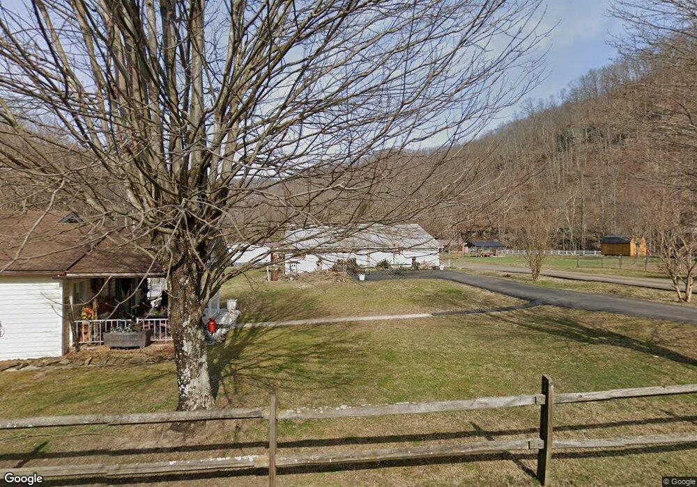
334 Sabine Bottom Rd Glen Fork, WV 25845
Estimated Value: $27,000 - $69,000
2
Beds
1
Bath
672
Sq Ft
$67/Sq Ft
Est. Value
About This Home
This home is located at 334 Sabine Bottom Rd, Glen Fork, WV 25845 and is currently estimated at $44,746, approximately $66 per square foot. 334 Sabine Bottom Rd is a home with nearby schools including Glen Fork Elementary/Middle School and Westside High School.
Ownership History
Date
Name
Owned For
Owner Type
Purchase Details
Closed on
Oct 14, 2025
Sold by
Burks Brandon C and Burks Jerri N
Bought by
Acord Justin R
Current Estimated Value
Home Financials for this Owner
Home Financials are based on the most recent Mortgage that was taken out on this home.
Original Mortgage
$29,680
Outstanding Balance
$29,618
Interest Rate
6.26%
Mortgage Type
New Conventional
Estimated Equity
$15,128
Purchase Details
Closed on
Feb 28, 2013
Sold by
Trent Ashley and Trent Roy Layne
Bought by
Polk Kayla G and Polk David B
Purchase Details
Closed on
May 8, 2009
Sold by
Lester Brian Christopher and Lester Medena Grace
Bought by
Trent Roy Layne
Create a Home Valuation Report for This Property
The Home Valuation Report is an in-depth analysis detailing your home's value as well as a comparison with similar homes in the area
Home Values in the Area
Average Home Value in this Area
Purchase History
| Date | Buyer | Sale Price | Title Company |
|---|---|---|---|
| Acord Justin R | $34,000 | None Listed On Document | |
| Polk Kayla G | $20,000 | -- | |
| Trent Roy Layne | -- | -- |
Source: Public Records
Mortgage History
| Date | Status | Borrower | Loan Amount |
|---|---|---|---|
| Open | Acord Justin R | $29,680 |
Source: Public Records
Tax History Compared to Growth
Tax History
| Year | Tax Paid | Tax Assessment Tax Assessment Total Assessment is a certain percentage of the fair market value that is determined by local assessors to be the total taxable value of land and additions on the property. | Land | Improvement |
|---|---|---|---|---|
| 2025 | $208 | $16,740 | $1,380 | $15,360 |
| 2024 | $208 | $16,560 | $1,380 | $15,180 |
| 2023 | $208 | $16,320 | $1,380 | $14,940 |
| 2022 | $0 | $16,140 | $1,380 | $14,760 |
| 2021 | $0 | $15,000 | $1,380 | $13,620 |
| 2020 | $0 | $14,820 | $1,380 | $13,440 |
| 2019 | $0 | $14,580 | $1,380 | $13,200 |
| 2018 | $0 | $14,340 | $1,380 | $12,960 |
| 2017 | $0 | $14,160 | $1,380 | $12,780 |
| 2016 | $0 | $14,100 | $1,380 | $12,720 |
| 2015 | -- | $13,920 | $1,380 | $12,540 |
| 2014 | -- | $13,620 | $1,320 | $12,300 |
Source: Public Records
Map
Nearby Homes
- 789 Saulsville Mountain Rd
- 1936 Appalachian Hwy
- 1477 Appalachian Hwy
- 496 Chestnut Flat Rd
- 14 Cherry St
- 560 Appalachian Hwy
- 212 Pine Ave
- 145 Chestnut St
- 147 Circle Dr
- 19 Guyandotte St
- 5236 River Rd
- 127 Mingo St
- 270 Ramey Addition Rd
- 199 Poplar Ln
- 158 Caloric Rd
- 3 Toler St
- 60 Woodward Ave
- 0 Parsons Dr
- 412 Clear Fork Rd
- 104 South Ave