334 Thompson Ln Monroe, WA 98272
Estimated Value: $664,553 - $797,000
5
Beds
2
Baths
2,006
Sq Ft
$363/Sq Ft
Est. Value
About This Home
This home is located at 334 Thompson Ln, Monroe, WA 98272 and is currently estimated at $727,388, approximately $362 per square foot. 334 Thompson Ln is a home located in Snohomish County with nearby schools including Frank Wagner Elementary School, Monroe High School, and Monroe Montessori School.
Ownership History
Date
Name
Owned For
Owner Type
Purchase Details
Closed on
Oct 25, 2018
Sold by
Blanchard Mary Wolever
Bought by
Blanchard Robert Nelson
Current Estimated Value
Purchase Details
Closed on
Mar 29, 1999
Sold by
Smith Gene R and Smith Margaret M
Bought by
Blanchard Robert N and Blanchard Mary W
Home Financials for this Owner
Home Financials are based on the most recent Mortgage that was taken out on this home.
Original Mortgage
$191,250
Outstanding Balance
$47,422
Interest Rate
6.79%
Estimated Equity
$679,966
Create a Home Valuation Report for This Property
The Home Valuation Report is an in-depth analysis detailing your home's value as well as a comparison with similar homes in the area
Home Values in the Area
Average Home Value in this Area
Purchase History
| Date | Buyer | Sale Price | Title Company |
|---|---|---|---|
| Blanchard Robert Nelson | -- | None Available | |
| Blanchard Robert N | $225,000 | First American Title |
Source: Public Records
Mortgage History
| Date | Status | Borrower | Loan Amount |
|---|---|---|---|
| Open | Blanchard Robert N | $191,250 |
Source: Public Records
Tax History Compared to Growth
Tax History
| Year | Tax Paid | Tax Assessment Tax Assessment Total Assessment is a certain percentage of the fair market value that is determined by local assessors to be the total taxable value of land and additions on the property. | Land | Improvement |
|---|---|---|---|---|
| 2025 | $5,233 | $689,300 | $374,900 | $314,400 |
| 2024 | $5,233 | $644,800 | $351,900 | $292,900 |
| 2023 | $5,132 | $686,100 | $374,900 | $311,200 |
| 2022 | $4,735 | $504,600 | $256,000 | $248,600 |
| 2020 | $4,300 | $442,100 | $229,000 | $213,100 |
| 2019 | $3,867 | $394,000 | $197,000 | $197,000 |
| 2018 | $4,154 | $346,800 | $162,000 | $184,800 |
| 2017 | $3,767 | $329,000 | $156,000 | $173,000 |
| 2016 | $3,695 | $297,000 | $131,000 | $166,000 |
| 2015 | $3,725 | $281,700 | $125,000 | $156,700 |
| 2013 | $3,202 | $221,500 | $95,000 | $126,500 |
Source: Public Records
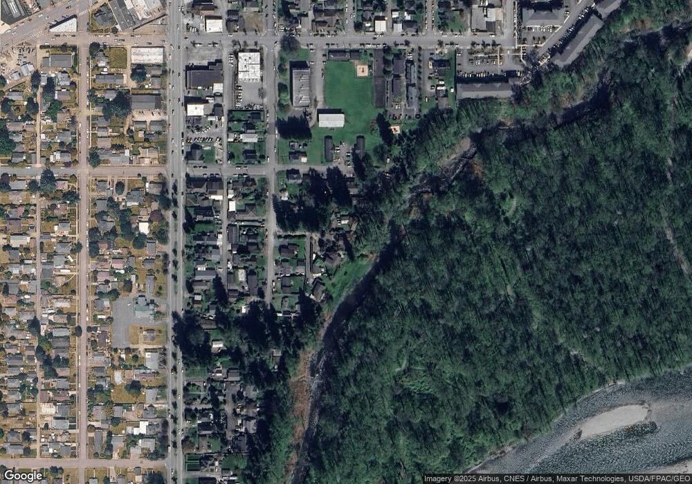
Map
Nearby Homes
- 162 Charles St
- 304 S Lewis St
- 216 S Blakeley St
- 230 N Madison St
- 319 Short Columbia St
- 517 Roberts St
- 628 Roberts St
- 535 Terrace St
- 643 Monroe St
- 520 S Kelsey St
- 523 Park St
- 850 Village Way
- 700 W Maple St
- 18510 Blueberry Ln
- 1017 W Main St Unit B101
- 19722 146th St SE
- 1152 Johnson St SE
- 15327 182nd Ave SE
- 18621 Blueberry Ln Unit A204
- 18155 W Columbia St
- 315 Thompson Ln
- 322 Thompson Ln
- 313 Thompson Ln
- 264 E Mcdougall St
- 310 Thompson Ln
- 276 E Mcdougall St
- 311 S Ferry St
- 252 E Mcdougall St
- 325 S Ferry St
- 327 S Ferry St
- 301 S Ferry St
- 381 S Ferry St
- 255 E Mcdougall St
- 395 S Ferry St
- 245 E Mcdougall St
- 405 S Ferry St
- 235 S Ferry St
- 322 S Ferry St
- 328 S Ferry St
- 26 XX E Mcdougall St