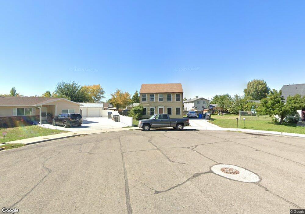
334 W 1610 S Provo, UT 84601
Franklin NeighborhoodEstimated Value: $401,000 - $450,000
3
Beds
1
Bath
1,120
Sq Ft
$380/Sq Ft
Est. Value
About This Home
This home is located at 334 W 1610 S, Provo, UT 84601 and is currently estimated at $425,484, approximately $379 per square foot. 334 W 1610 S is a home located in Utah County with nearby schools including Franklin Elementary School, Dixon Middle School, and Provo High School.
Ownership History
Date
Name
Owned For
Owner Type
Purchase Details
Closed on
Oct 3, 2001
Sold by
Child Paul V
Bought by
Child Paul V and Child Jackie
Current Estimated Value
Purchase Details
Closed on
Oct 2, 2001
Sold by
Child Paul V and Child Jackie
Bought by
Child Paul V
Purchase Details
Closed on
Jun 17, 1999
Sold by
Child Paul V
Bought by
Child Paul V and Child Jackie
Purchase Details
Closed on
Dec 15, 1996
Sold by
Child Paul V
Bought by
Child Paul V and Child Jackie
Create a Home Valuation Report for This Property
The Home Valuation Report is an in-depth analysis detailing your home's value as well as a comparison with similar homes in the area
Home Values in the Area
Average Home Value in this Area
Purchase History
| Date | Buyer | Sale Price | Title Company |
|---|---|---|---|
| Child Paul V | -- | -- | |
| Child Paul V | -- | -- | |
| Child Paul V | -- | Provo Land Title | |
| Child Paul V | -- | -- | |
| Child Paul V | -- | -- |
Source: Public Records
Tax History Compared to Growth
Tax History
| Year | Tax Paid | Tax Assessment Tax Assessment Total Assessment is a certain percentage of the fair market value that is determined by local assessors to be the total taxable value of land and additions on the property. | Land | Improvement |
|---|---|---|---|---|
| 2025 | $2,009 | $205,865 | $172,700 | $201,600 |
| 2024 | $2,009 | $197,725 | $0 | $0 |
| 2023 | $2,015 | $195,580 | $0 | $0 |
| 2022 | $1,967 | $192,445 | $0 | $0 |
| 2021 | $1,468 | $250,600 | $94,800 | $155,800 |
| 2020 | $1,424 | $227,800 | $86,200 | $141,600 |
| 2019 | $1,360 | $226,200 | $86,200 | $140,000 |
| 2018 | $1,189 | $200,700 | $79,000 | $121,700 |
| 2017 | $1,076 | $99,770 | $0 | $0 |
| 2016 | $985 | $85,085 | $0 | $0 |
| 2015 | $956 | $83,490 | $0 | $0 |
| 2014 | -- | $76,340 | $0 | $0 |
Source: Public Records
Map
Nearby Homes
- 311 W 1610 S
- 588 W 1720 S
- 1895 S 530 W Unit 1191
- 642 W 1870 S Unit 1046
- 655 W 1280 S
- 661 W 1920 S Unit 1072
- Oakridge (Crawl) Plan at Osprey Towns
- 686 W 1920 S Unit 1024
- Dalton Plan at Osprey Towns
- Dumont Plan at Osprey Towns
- Millbrook (Crawl) Plan at Osprey Towns
- 1095 S 500 W Unit 11
- 272 W 1020 S Unit B
- 966 S Freedom Blvd Unit 1
- 985 S 600 W
- 933 S Blvd W
- 914 W 1150 S Unit 2
- 908 W 1150 S Unit 3
- 131 S Meadow Dr Unit 20
- 169 S Meadow Dr Unit 18