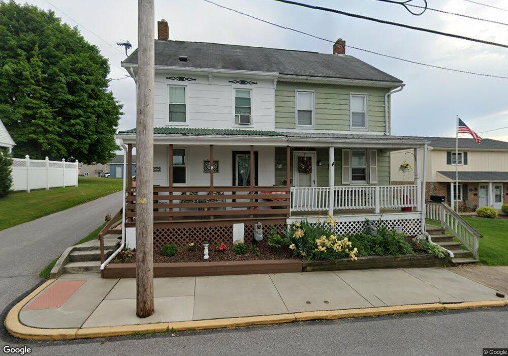
334 W Maple St Dallastown, PA 17313
Estimated Value: $168,000 - $190,000
3
Beds
1
Bath
1,060
Sq Ft
$168/Sq Ft
Est. Value
About This Home
This home is located at 334 W Maple St, Dallastown, PA 17313 and is currently estimated at $177,723, approximately $167 per square foot. 334 W Maple St is a home located in York County with nearby schools including Dallastown Elementary School, Dallastown Area Middle School, and Dallastown Area High School.
Ownership History
Date
Name
Owned For
Owner Type
Purchase Details
Closed on
Feb 25, 2011
Sold by
Lehr Tim
Bought by
Wolfe Connie
Current Estimated Value
Home Financials for this Owner
Home Financials are based on the most recent Mortgage that was taken out on this home.
Original Mortgage
$112,942
Outstanding Balance
$77,456
Interest Rate
4.75%
Mortgage Type
New Conventional
Estimated Equity
$100,267
Purchase Details
Closed on
Jul 14, 2008
Sold by
Kyle Rodney and Kyle Jessie T F
Bought by
Lehr Timothy P
Home Financials for this Owner
Home Financials are based on the most recent Mortgage that was taken out on this home.
Original Mortgage
$17,800
Interest Rate
6.17%
Mortgage Type
Purchase Money Mortgage
Create a Home Valuation Report for This Property
The Home Valuation Report is an in-depth analysis detailing your home's value as well as a comparison with similar homes in the area
Home Values in the Area
Average Home Value in this Area
Purchase History
| Date | Buyer | Sale Price | Title Company |
|---|---|---|---|
| Wolfe Connie | $108,990 | None Available | |
| Lehr Timothy P | $89,000 | None Available |
Source: Public Records
Mortgage History
| Date | Status | Borrower | Loan Amount |
|---|---|---|---|
| Open | Wolfe Connie | $112,942 | |
| Previous Owner | Lehr Timothy P | $17,800 | |
| Previous Owner | Lehr Timothy P | $71,200 |
Source: Public Records
Tax History Compared to Growth
Tax History
| Year | Tax Paid | Tax Assessment Tax Assessment Total Assessment is a certain percentage of the fair market value that is determined by local assessors to be the total taxable value of land and additions on the property. | Land | Improvement |
|---|---|---|---|---|
| 2025 | $2,569 | $73,960 | $19,090 | $54,870 |
| 2024 | $2,569 | $73,960 | $19,090 | $54,870 |
| 2023 | $2,569 | $73,960 | $19,090 | $54,870 |
| 2022 | $2,487 | $73,960 | $19,090 | $54,870 |
| 2021 | $2,345 | $73,960 | $19,090 | $54,870 |
| 2020 | $2,345 | $73,960 | $19,090 | $54,870 |
| 2019 | $2,338 | $73,960 | $19,090 | $54,870 |
| 2018 | $2,338 | $73,960 | $19,090 | $54,870 |
| 2017 | $2,247 | $73,960 | $19,090 | $54,870 |
| 2016 | $0 | $73,960 | $19,090 | $54,870 |
| 2015 | -- | $73,960 | $19,090 | $54,870 |
| 2014 | -- | $73,960 | $19,090 | $54,870 |
Source: Public Records
Map
Nearby Homes
- 131 N Cedar St
- 253 W Chestnut St Unit 11
- 428 W Main St
- 79 S Franklin St
- 136 Teila Dr
- 64 S Pleasant Ave
- 424 Dartha Dr
- 197 S Main St
- 74 S Main St
- 141 W Water St
- 2933 Exeter Dr S
- 114 Heather Glen Dr
- 680 Hampstead Ct
- 2960 Starfire Dr
- 125 Verna Dr
- 234 Hudson Blvd
- 27 Steeple Ave
- 350 Avon Dr Unit 270
- 362 Avon Dr Unit 276
- 374 Avon Dr Unit 282