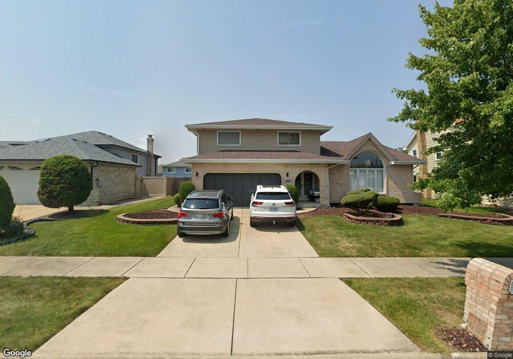
334 Wheatfield Rd Matteson, IL 60443
West Matteson NeighborhoodEstimated Value: $324,876 - $377,000
4
Beds
3
Baths
2,312
Sq Ft
$153/Sq Ft
Est. Value
About This Home
This home is located at 334 Wheatfield Rd, Matteson, IL 60443 and is currently estimated at $354,469, approximately $153 per square foot. 334 Wheatfield Rd is a home located in Cook County with nearby schools including Colin Powell Middle School.
Ownership History
Date
Name
Owned For
Owner Type
Purchase Details
Closed on
Apr 18, 2003
Sold by
Merritt David A
Bought by
Travis Edward M and Travis Joycelynn A
Current Estimated Value
Home Financials for this Owner
Home Financials are based on the most recent Mortgage that was taken out on this home.
Original Mortgage
$214,700
Outstanding Balance
$91,126
Interest Rate
5.95%
Mortgage Type
Unknown
Estimated Equity
$263,343
Create a Home Valuation Report for This Property
The Home Valuation Report is an in-depth analysis detailing your home's value as well as a comparison with similar homes in the area
Home Values in the Area
Average Home Value in this Area
Purchase History
| Date | Buyer | Sale Price | Title Company |
|---|---|---|---|
| Travis Edward M | $226,000 | Cti | |
| Travis Edward M | $226,000 | Cti |
Source: Public Records
Mortgage History
| Date | Status | Borrower | Loan Amount |
|---|---|---|---|
| Open | Travis Edward M | $214,700 | |
| Closed | Travis Edward M | $214,700 |
Source: Public Records
Tax History
| Year | Tax Paid | Tax Assessment Tax Assessment Total Assessment is a certain percentage of the fair market value that is determined by local assessors to be the total taxable value of land and additions on the property. | Land | Improvement |
|---|---|---|---|---|
| 2025 | $10,232 | $28,000 | $4,818 | $23,182 |
| 2024 | $10,232 | $28,000 | $4,818 | $23,182 |
| 2023 | $8,888 | $28,000 | $4,818 | $23,182 |
| 2022 | $8,888 | $20,021 | $4,161 | $15,860 |
| 2021 | $9,020 | $20,020 | $4,161 | $15,859 |
| 2020 | $8,835 | $20,020 | $4,161 | $15,859 |
| 2019 | $7,889 | $17,868 | $3,723 | $14,145 |
| 2018 | $7,771 | $17,868 | $3,723 | $14,145 |
| 2017 | $7,588 | $17,868 | $3,723 | $14,145 |
| 2016 | $6,749 | $15,539 | $3,285 | $12,254 |
| 2015 | $8,135 | $18,633 | $3,285 | $15,348 |
| 2014 | $7,941 | $18,633 | $3,285 | $15,348 |
| 2013 | $8,615 | $21,356 | $3,285 | $18,071 |
Source: Public Records
Map
Nearby Homes
- 443 Danielle Rd
- 6237 Michael Ln
- 6306 Beaver Dam Rd
- 6037 Spring Ln
- 6021 Spring Ln
- 124 Oriole Rd
- 6125 Sunflower Dr
- 6158 White Birch Ln
- 34 Wedgewood Rd
- 152 Oakhurst Rd
- 123 Oriole Rd
- 6128 Wedgewood Ct
- 42 Pheasant Rd
- 10 Wedgewood Rd
- 25 Pheasant Rd
- 6005 Woodgate Dr
- 5808 Allemong Dr
- 5804 Kathryn Ln
- 5943 Woodgate Dr
- 5911 Timberlane Rd
- 342 Wheatfield Rd
- 326 Wheatfield Rd
- 335 Danielle Rd
- 343 Danielle Rd
- 327 Danielle Rd
- 350 Wheatfield Rd
- 318 Wheatfield Rd
- 351 Danielle Rd
- 319 Danielle Rd
- 333 Wheatfield Rd
- 341 Wheatfield Rd
- 325 Wheatfield Rd
- 358 Wheatfield Rd
- 310 Wheatfield Rd
- 349 Wheatfield Rd
- 317 Wheatfield Rd
- 359 Danielle Rd
- 311 Danielle Rd
- 402 Wheatfield Rd
- 357 Wheatfield Rd
Your Personal Tour Guide
Ask me questions while you tour the home.