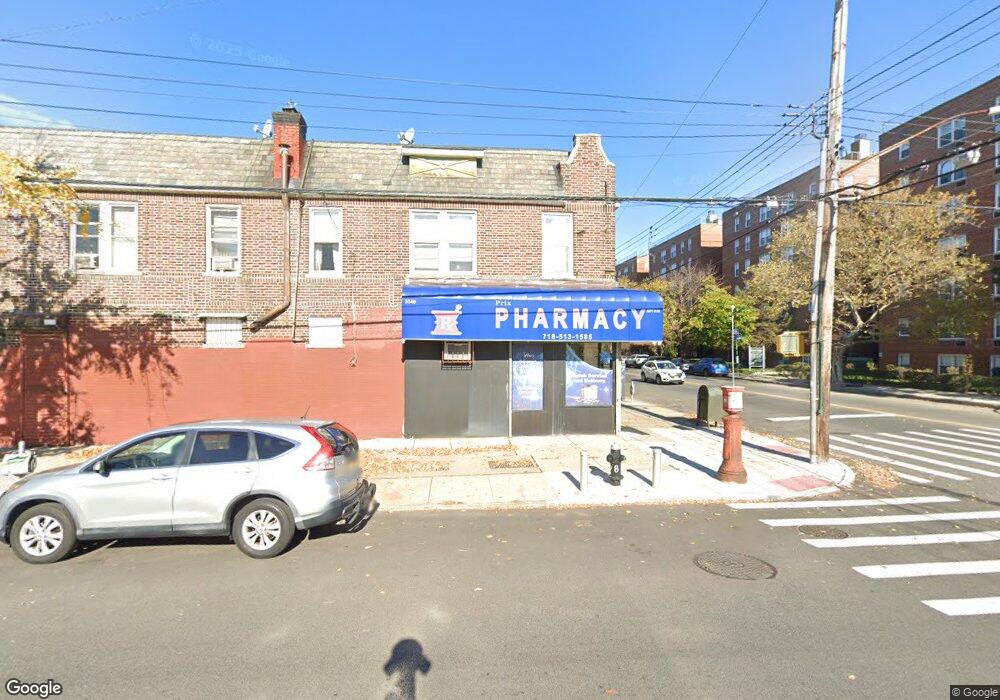
3340 Nostrand Ave Brooklyn, NY 11229
Madison Neighborhood
Studio
--
Bath
3,200
Sq Ft
2,004
Sq Ft Lot
About This Home
This home is located at 3340 Nostrand Ave, Brooklyn, NY 11229. 3340 Nostrand Ave is a home located in Kings County with nearby schools including PS 222 Katherine R Snyder, Jhs 234 Arthur W Cunningham, and James Madison High School.
Ownership History
Date
Name
Owned For
Owner Type
Purchase Details
Closed on
Jun 18, 2015
Sold by
Lifschitz Mayer and Revocable Living Trust Of Dora Lifschitz
Bought by
Lifschitz Mayer
Purchase Details
Closed on
Apr 14, 2014
Sold by
Lifschitz Dora
Bought by
Revocable Living Trust Of Dora Lifschitz
Purchase Details
Closed on
Jan 16, 1995
Sold by
Lifschitz Rafael and Lifschitz Dora
Bought by
Lifschitz Dora
Create a Home Valuation Report for This Property
The Home Valuation Report is an in-depth analysis detailing your home's value as well as a comparison with similar homes in the area
Home Values in the Area
Average Home Value in this Area
Purchase History
| Date | Buyer | Sale Price | Title Company |
|---|---|---|---|
| Lifschitz Mayer | -- | -- | |
| Lifschitz Mayer | -- | -- | |
| Lifschitz Mayer | -- | -- | |
| Revocable Living Trust Of Dora Lifschitz | -- | -- | |
| Revocable Living Trust Of Dora Lifschitz | -- | -- | |
| Lifschitz Dora | -- | Commonwealth Land Title Ins | |
| Lifschitz Dora | -- | Commonwealth Land Title Ins |
Source: Public Records
Tax History
| Year | Tax Paid | Tax Assessment Tax Assessment Total Assessment is a certain percentage of the fair market value that is determined by local assessors to be the total taxable value of land and additions on the property. | Land | Improvement |
|---|---|---|---|---|
| 2025 | $5,373 | $80,520 | $10,200 | $70,320 |
| 2024 | $5,373 | $71,940 | $10,200 | $61,740 |
| 2023 | $5,069 | $78,060 | $10,200 | $67,860 |
| 2022 | $4,512 | $61,260 | $10,200 | $51,060 |
| 2021 | $4,700 | $52,440 | $10,200 | $42,240 |
| 2020 | $4,755 | $33,180 | $10,200 | $22,980 |
| 2019 | $4,664 | $28,860 | $10,200 | $18,660 |
| 2018 | $4,288 | $21,033 | $8,917 | $12,116 |
| 2017 | $4,045 | $19,843 | $9,019 | $10,824 |
| 2016 | $3,742 | $18,720 | $10,200 | $8,520 |
| 2015 | $2,754 | $18,720 | $10,200 | $8,520 |
| 2014 | $2,754 | $18,720 | $10,200 | $8,520 |
Source: Public Records
Map
Nearby Homes
- 3334 Nostrand Ave
- 3338 Nostrand Ave
- 1941 E 29th St
- 1953 E 28th St
- 2024 Haring St
- 1963 E 27th St
- 2011 E 27th St
- 1934 Haring St
- 3395 Nostrand Ave Unit 4F
- 2042 Haring St
- 2971 Avenue T
- 2063 E 28th St
- 2069 E 28th St
- 2711 Avenue S Unit 5C
- 3202 Nostrand Ave Unit 1G
- 3203 Nostrand Ave Unit 5T
- 3203 Nostrand Ave Unit 5E
- 3203 Nostrand Ave Unit LB
- 3019 Avenue T
- 1927 Batchelder St
- 3332 Nostrand Ave Unit 201
- 3332 Nostrand Ave
- 3330 Nostrand Ave
- 2912 Avenue T
- 2914-2926 Avenue T
- 1995 E 29th St
- 1993 E 29th St
- 1991 E 29th St
- 1989 E 29th St
- 1987 E 29th St
- 1991 E 29 St
- 1985 E 29th St
- 3342 Nostrand Ave
- 2001 E 29th St
- 1981 E 29th St
- 2003 E 29th St
- 1979 E 29th St
- 1979 E 29 St
- 2005 E 29th St
- 1977 E 29th St
Your Personal Tour Guide
Ask me questions while you tour the home.